File:Muifa Jul 30 2011 1909Z.jpg
Jump to navigation
Jump to search
Size of this preview: 562 × 600 pixels. Other resolutions: 225 × 240 pixels | 450 × 480 pixels | 958 × 1,022 pixels.
Original file (958 × 1,022 pixels, file size: 593 KB, MIME type: image/jpeg)
Captions
Captions
Add a one-line explanation of what this file represents
Summary
[edit]| Description |
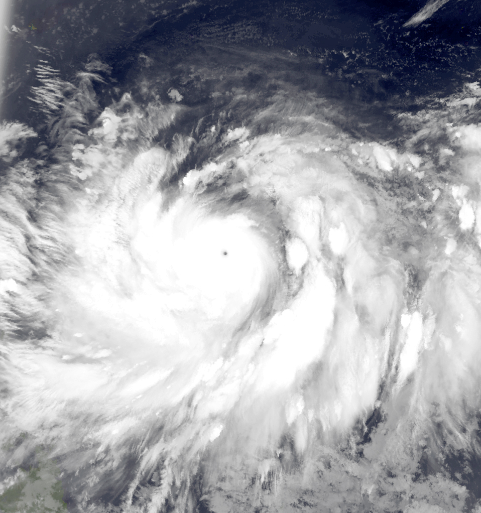
English: The Operational Linescan System (OLS) Satellite captured this Infrared Satellite Image of Muifa at peak intensity with an unofficial central pressure of 918hpa as sated by the JTWC late on July 30 2011 over the the Philippine Sea. |
||||||
| Date | |||||||
| Source | From:http://www.nrlmry.navy.mil/tcdat/tc11/WPAC/11W.MUIFA/ir/ols/1km_bw/ | ||||||
| Author | Naval Research Laboratory | ||||||
| Permission (Reusing this file) |
|
||||||

File history
Click on a date/time to view the file as it appeared at that time.
| Date/Time | Thumbnail | Dimensions | User | Comment | |
|---|---|---|---|---|---|
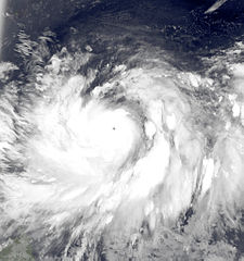
| current | 15:04, 23 March 2013 | | 958 × 1,022 (593 KB) | Supportstorm (talk | contribs) | Color version |
| 12:59, 23 March 2013 |  | 861 × 880 (199 KB) | Earth100 (talk | contribs) | User created page with UploadWizard |
You cannot overwrite this file.
File usage on Commons
There are no pages that use this file.
File usage on other wikis
The following other wikis use this file:
- Usage on de.wikipedia.org
- Pazifische Taifunsaison 1999
- Pazifische Taifunsaison 2007
- Pazifische Taifunsaison 2008
- Pazifische Taifunsaison 2009
- Pazifische Taifunsaison 2010
- Pazifische Taifunsaison 2011
- Vorlage:Navigationsleiste Pazifische Taifunsaison
- Pazifische Taifunsaison 2012
- Pazifische Taifunsaison
- Pazifische Taifunsaison 2013
- Pazifische Taifunsaison 2015
- Pazifische Taifunsaison 2016
- Pazifische Taifunsaison 2017
- Pazifische Taifunsaison 2019
- Pazifische Taifunsaison 2020
- Pazifische Taifunsaison 2018
- Pazifische Taifunsaison 2006
- Pazifische Taifunsaison 2005
- Pazifische Taifunsaison 2004
- Pazifische Taifunsaison 2021
- Pazifische Taifunsaison 2003
- Pazifische Taifunsaison 2002
- Pazifische Taifunsaison 2001
- Pazifische Taifunsaison 2000
- Pazifische Taifunsaison 2022
- Pazifische Taifunsaison 1998
- Usage on en.wikipedia.org
- Usage on ja.wikipedia.org
- Usage on ko.wikipedia.org
- Usage on pt.wikipedia.org