File:N-2.svg
Zur Navigation springen
Zur Suche springen

Größe der PNG-Vorschau dieser SVG-Datei: 600 × 600 Pixel. Weitere Auflösungen: 240 × 240 Pixel | 480 × 480 Pixel | 768 × 768 Pixel | 1.024 × 1.024 Pixel | 2.048 × 2.048 Pixel.
Originaldatei (SVG-Datei, Basisgröße: 600 × 600 Pixel, Dateigröße: 88 KB)
Bildtexte
Kurzbeschreibungen
Ergänze eine einzeilige Erklärung, was diese Datei darstellt.
Beschreibung[Bearbeiten]
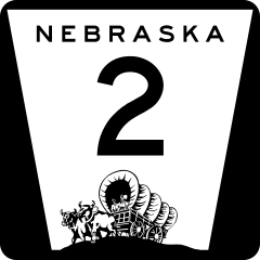
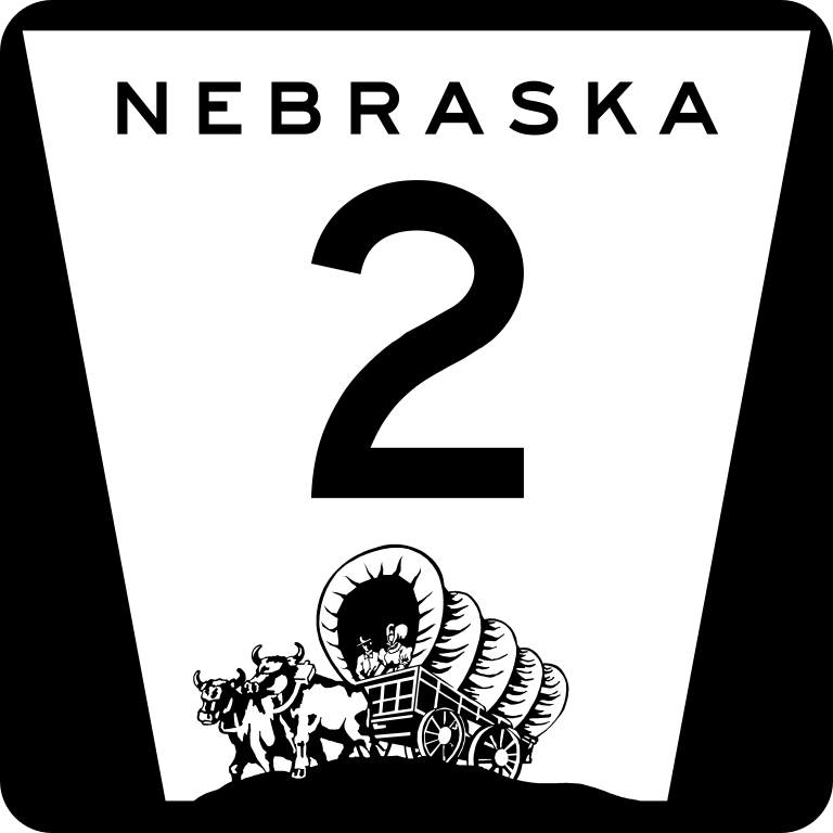
| Beschreibung | Nebraska state highway route marker |
| Datum | |
| Quelle | http://www.nebraskatransportation.org/traffeng/sos/2011-NE-Supplement-to-MUTCD.pdf |
| Urheber | Fredddie, originally by Scott Onson |
Lizenz[Bearbeiten]
This file is in the public domain because it comes from the State of Nebraska Supplement to the Manual on Uniform Traffic Control Devices, sign number M1-5, which states on p. ii that "this manual consists of the 2009 edition of the Manual on Uniform Traffic Control Devices for Streets and Highways (herein referred to as the MUTCD) adopted by the Federal Highway Administrator as a National Standard for application on all classes of highways, subject to such modifications as is set forth in this supplement." The federal MUTCD states specifically on its page I-1 that:
No provisions of the supplement modify this provision of the MUTCD. |
 |
Dateiversionen
Klicke auf einen Zeitpunkt, um diese Version zu laden.
| Version vom | Vorschaubild | Maße | Benutzer | Kommentar | |
|---|---|---|---|---|---|
| aktuell | 04:51, 28. Jul. 2022 | | 600 × 600 (88 KB) | Smasongarrison (Diskussion | Beiträge) | slimmed down with svgomg // Editing SVG source code using c:User:Rillke/SVGedit.js |
| 19:24, 3. Mär. 2012 |  | 600 × 600 (124 KB) | Fredddie (Diskussion | Beiträge) | ||
| 07:25, 3. Mär. 2012 |  | 600 × 600 (100 KB) | Fredddie (Diskussion | Beiträge) | ||
| 22:42, 4. Okt. 2006 |  | 1.728 × 1.760 (1,35 MB) | Master son (Diskussion | Beiträge) | {{Information| |Description=Nebraska state Highway marker. Uses the FHWA font (type D for 1 digit routes, type C for 2d, type 3 for 3d |Source=http://www.nebraskatransportation.org/traffeng/mutcd/m1-3signs.pdf |Date=10/4/2006 |Author=Scott Onson |Permiss | |
| 20:47, 4. Okt. 2006 |  | 1.728 × 1.760 (1,35 MB) | Master son (Diskussion | Beiträge) | {{Information| |Description=Nebraska state Highway marker. Uses the FHWA font (type D for 1 digit routes, type C for 2d, type 3 for 3d |Source=http://www.nebraskatransportation.org/traffeng/mutcd/m1-3signs.pdf |Date=10/4/2006 |Author=Scott Onson |Permiss | |
| 17:46, 4. Okt. 2006 |  | 1.728 × 1.760 (1,35 MB) | Master son (Diskussion | Beiträge) | {{Information| |Description=Nebraska state Highway marker. Uses the FHWA font (type D for 1 digit routes, type C for 2d, type 3 for 3d |Source=http://www.nebraskatransportation.org/traffeng/mutcd/m1-3signs.pdf |Date=10/4/2006 |Author=Scott Onson |Permiss |
Du kannst diese Datei nicht überschreiben.
Dateiverwendung
Die folgenden 4 Seiten verwenden diese Datei:
Globale Dateiverwendung
Die nachfolgenden anderen Wikis verwenden diese Datei:
- Verwendung auf bn.wikipedia.org
- Verwendung auf de.wikipedia.org
- Verwendung auf en.wikipedia.org
- Lancaster County, Nebraska
- Thomas County, Nebraska
- Sioux County, Nebraska
- Sherman County, Nebraska
- Sheridan County, Nebraska
- Otoe County, Nebraska
- Hooker County, Nebraska
- Hamilton County, Nebraska
- Hall County, Nebraska
- Grant County, Nebraska
- Dawes County, Nebraska
- Custer County, Nebraska
- Buffalo County, Nebraska
- Box Butte County, Nebraska
- Blaine County, Nebraska
- Douglas, Nebraska
- U.S. Route 281
- List of highways numbered 2
- Nebraska Highway 50
- User:Stratosphere
- List of crossings of the Missouri River
- Iowa Highway 2
- Brownville Bridge
- Nebraska City Bridge
- Wikipedia:WikiProject U.S. Roads/Nebraska/Userbox
- Plattsmouth Bridge
- Nebraska Highway 1
- Nebraska Highway 92
- Nebraska State Highway System
- Nebraska Highway 2
- Nebraska Highway 4
- Interstate 80 in Nebraska
- Nebraska Highway 67
- Nebraska Highway 10
- Nebraska Highway 11
- U.S. Route 20 in Nebraska
- Nebraska Highway 21
- User:Master son/US Roads/Sub
- Nebraska Highway 27
- Nebraska Highway 43
- U.S. Route 30 in Nebraska
- Nebraska Highway 61
- Nebraska Highway 68
- Nebraska Highway 87
- Nebraska Highway 250
- Nebraska Highway 97
- Nebraska Highway 91
- Nebraska Highway 70
Weitere globale Verwendungen dieser Datei anschauen.