File:N-29.svg
Перейти к навигации
Перейти к поиску

Размер этого PNG-превью для исходного SVG-файла: 600 × 600 пкс. Другие разрешения: 240 × 240 пкс | 480 × 480 пкс | 768 × 768 пкс | 1024 × 1024 пкс | 2048 × 2048 пкс.
Исходный файл (SVG-файл, номинально 600 × 600 пкс, размер файла: 126 КБ)
Краткие подписи
Краткие подписи
Добавьте однострочное описание того, что собой представляет этот файл
Краткое описание
[править]
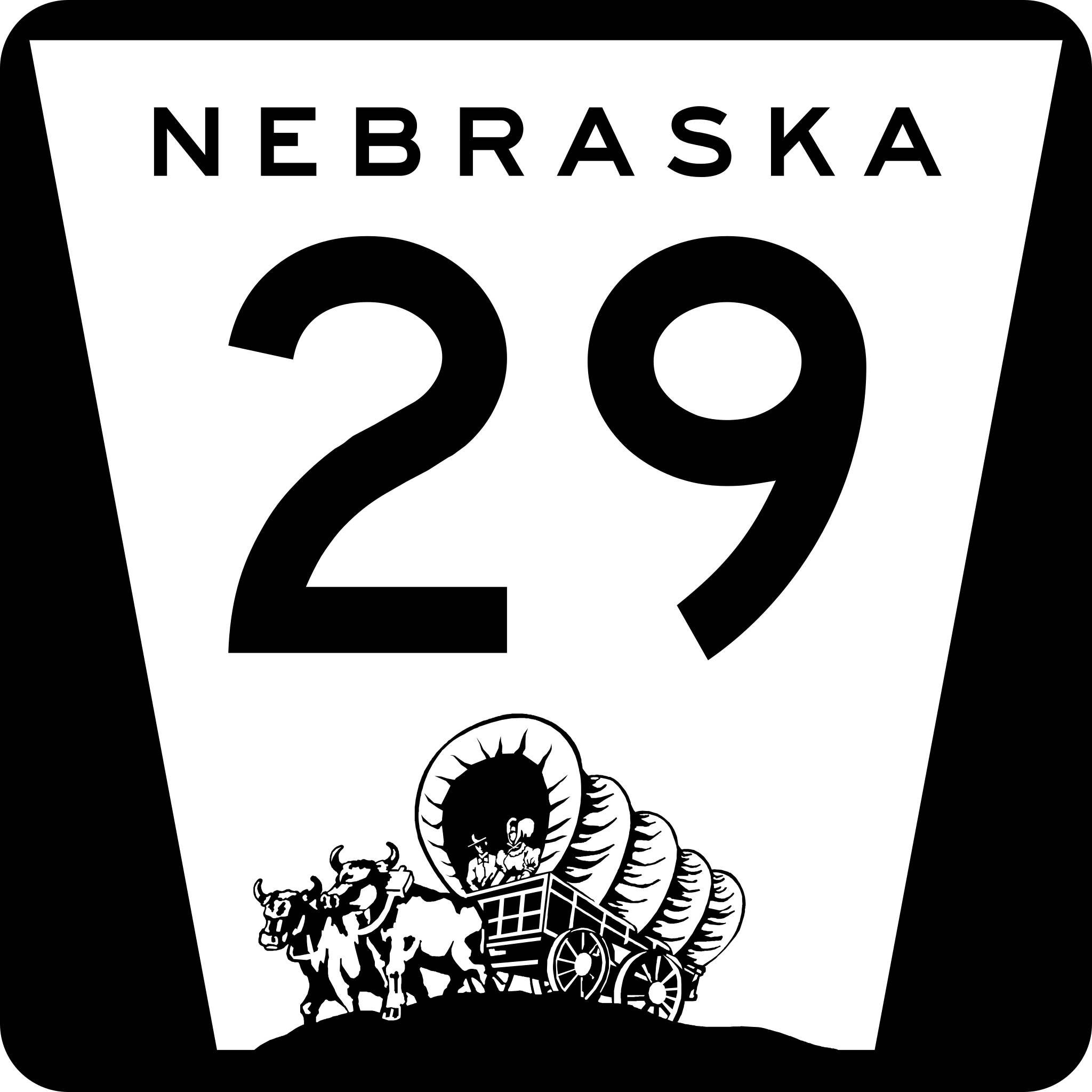
| Описание | Nebraska state highway route marker |
| Дата | |
| Источник | http://www.nebraskatransportation.org/traffeng/sos/2011-NE-Supplement-to-MUTCD.pdf |
| Автор | Fredddie, originally by Scott Onson |
Лицензирование
[править]
This file is in the public domain because it comes from the State of Nebraska Supplement to the Manual on Uniform Traffic Control Devices, sign number M1-5, which states on p. ii that "this manual consists of the 2009 edition of the Manual on Uniform Traffic Control Devices for Streets and Highways (herein referred to as the MUTCD) adopted by the Federal Highway Administrator as a National Standard for application on all classes of highways, subject to such modifications as is set forth in this supplement." The federal MUTCD states specifically on its page I-1 that:
No provisions of the supplement modify this provision of the MUTCD. |
 |
История файла
Нажмите на дату/время, чтобы увидеть версию файла от того времени.
| Дата/время | Миниатюра | Размеры | Участник | Примечание | |
|---|---|---|---|---|---|
| текущий | 19:27, 3 марта 2012 | | 600 × 600 (126 КБ) | Fredddie (обсуждение | вклад) | |
| 22:57, 4 октября 2006 |  | 1728 × 1760 (1,35 МБ) | Master son (обсуждение | вклад) | {{Information| |Description=Nebraska state Highway marker. Uses the FHWA font (type D for 1 digit routes, type C for 2d, type 3 for 3d |Source=http://www.nebraskatransportation.org/traffeng/mutcd/m1-3signs.pdf |Date=10/4/2006 |Author=Scott Onson |Permiss | |
| 17:48, 4 октября 2006 |  | 1728 × 1760 (1,35 МБ) | Master son (обсуждение | вклад) | {{Information| |Description=Nebraska state Highway marker. Uses the FHWA font (type D for 1 digit routes, type C for 2d, type 3 for 3d |Source=http://www.nebraskatransportation.org/traffeng/mutcd/m1-3signs.pdf |Date=10/4/2006 |Author=Scott Onson |Permiss |
Вы не можете перезаписать этот файл.
Использование файла
Следующие 3 страницы используют этот файл:
Глобальное использование файла
Данный файл используется в следующих вики:
- Использование в en.wikipedia.org
- Sioux County, Nebraska
- Scotts Bluff County, Nebraska
- Mitchell, Nebraska
- Harrison, Nebraska
- List of highways numbered 29
- U.S. Route 20 in Nebraska
- User:Master son/US Roads/Sub
- Nebraska Highway 27
- Nebraska Highway 29
- U.S. Route 26 in Nebraska
- U.S. Route 30 in Nebraska
- List of state highways in Nebraska
- User:Stratosphere/Sandbox
- Wikipedia:WikiProject U.S. Roads/Redirects/Nebraska
- Использование в es.wikipedia.org
- Использование в fr.wikipedia.org
- Использование в it.wikipedia.org
- Использование в ru.wikipedia.org
- Использование в www.wikidata.org
- Использование в zh-min-nan.wikipedia.org