File:NSG-00380.01 Mönchberg, Eschau, Aubachtal.jpg
Jump to navigation
Jump to search

Size of this preview: 800 × 533 pixels. Other resolutions: 320 × 213 pixels | 640 × 427 pixels | 1,024 × 683 pixels | 1,280 × 853 pixels | 3,000 × 2,000 pixels.
Original file (3,000 × 2,000 pixels, file size: 6.54 MB, MIME type: image/jpeg)
Captions
Captions
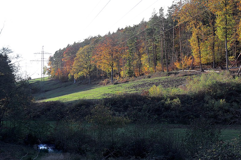
nature reserve 00380.01, Aubachtal bei Wildensee
Summary
[edit]
| Description |
Deutsch: Mönchberg, Eschau, "Aubachtal bei Wildensee", FFH-Gebiet und Naturschutzgebiet 00380.01 (WDPA 162257), LSG innerhalb des Naturparks Spessart (ehemals Schutzzone), Naturpark Bayerischer Spessart English: Mönchberg, Eschau, "Aubachtal bei Wildensee", FFH area and nature reserve 00380.01 (WDPA 162257), LSG innerhalb des Naturparks Spessart (ehemals Schutzzone), nature park Bayerischer Spessart |
| Date | |
| Source | Own work |
| Author | KaiBorgeest |
| OpenStreetMap | Way 1108299905 |
| Object location | | View this and other nearby images on: OpenStreetMap |
|---|
| Camera location | | View this and other nearby images on: OpenStreetMap |
|---|
Licensing
[edit]
I, the copyright holder of this work, hereby publish it under the following license:
This file is licensed under the Creative Commons Attribution-Share Alike 4.0 International license.
- You are free:
- to share – to copy, distribute and transmit the work
- to remix – to adapt the work
- Under the following conditions:
- attribution – You must give appropriate credit, provide a link to the license, and indicate if changes were made. You may do so in any reasonable manner, but not in any way that suggests the licensor endorses you or your use.
- share alike – If you remix, transform, or build upon the material, you must distribute your contributions under the same or compatible license as the original.
This image was uploaded as part of Wiki Loves Earth 2021.
|
 |
File history
Click on a date/time to view the file as it appeared at that time.
| Date/Time | Thumbnail | Dimensions | User | Comment | |
|---|---|---|---|---|---|
| current | 22:14, 15 May 2021 | | 3,000 × 2,000 (6.54 MB) | KaiBorgeest (talk | contribs) | Uploaded own work with UploadWizard |
You cannot overwrite this file.
File usage on Commons
The following 2 pages use this file:
File usage on other wikis
The following other wikis use this file:
- Usage on de.wikipedia.org
- Usage on www.wikidata.org