File:Nakata-Sachigaoka-Line (Road) 2021-06.jpg
Jump to navigation
Jump to search

Size of this preview: 799 × 599 pixels. Other resolutions: 320 × 240 pixels | 640 × 480 pixels | 1,024 × 768 pixels | 1,280 × 960 pixels | 2,560 × 1,920 pixels | 3,890 × 2,918 pixels.
Original file (3,890 × 2,918 pixels, file size: 1.72 MB, MIME type: image/jpeg)
Captions
Captions
Add a one-line explanation of what this file represents
Summary
[edit]| Description |
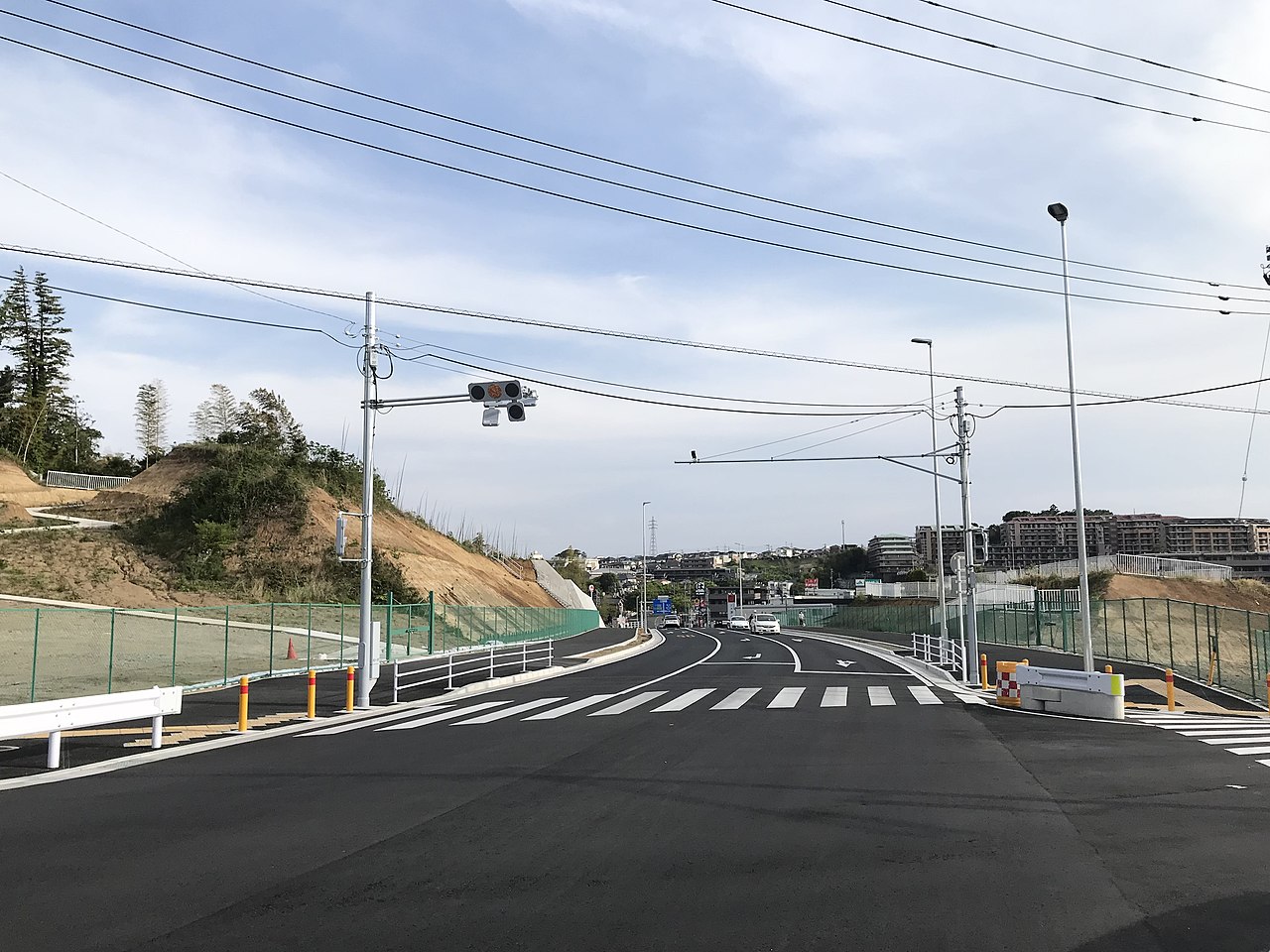
日本語:2021年3月に全線開通した中田さちが丘線。既存の峠道「名瀬街道」と交差する三嶋神社入口交差点より2019年〜2020年度に整備された本線岡津地区方面を見る。 |
||
| Date | |||
| Source | Own work | ||
| Author | NEO-NEED | ||
| Other versions |
|
_2014-03.JPG)
_2014-02.JPG)
_2021-06.jpg&action=edit§ion=1)
| Camera location | | View this and other nearby images on: OpenStreetMap |
|---|
_2021-06.jpg¶ms=035.429050_N_0139.526992_E_globe:Earth_type:camera_heading:176.84&language=en)
Licensing
[edit]_2021-06.jpg&action=edit§ion=2)
I, the copyright holder of this work, hereby publish it under the following license:
This file is licensed under the Creative Commons Attribution-Share Alike 4.0 International license.
- You are free:
- to share – to copy, distribute and transmit the work
- to remix – to adapt the work
- Under the following conditions:
- attribution – You must give appropriate credit, provide a link to the license, and indicate if changes were made. You may do so in any reasonable manner, but not in any way that suggests the licensor endorses you or your use.
- share alike – If you remix, transform, or build upon the material, you must distribute your contributions under the same or compatible license as the original.
File history
Click on a date/time to view the file as it appeared at that time.
| Date/Time | Thumbnail | Dimensions | User | Comment | |
|---|---|---|---|---|---|
| current | 09:22, 28 April 2021 | | 3,890 × 2,918 (1.72 MB) | NEO-NEED (talk | contribs) | Uploaded own work with UploadWizard |
You cannot overwrite this file.
File usage on Commons
The following 2 pages use this file:
File usage on other wikis
The following other wikis use this file:
- Usage on ja.wikipedia.org
_2021-06.jpg&oldid=556148630)