File:Narrows in Dianas Throne Canyon - DyeClan.com - panoramio (2).jpg
Jump to navigation
Jump to search

Size of this preview: 265 × 599 pixels. Other resolutions: 106 × 240 pixels | 212 × 480 pixels | 340 × 768 pixels | 453 × 1,024 pixels | 2,352 × 5,313 pixels.
Original file (2,352 × 5,313 pixels, file size: 12.23 MB, MIME type: image/jpeg)
Captions
Captions
Add a one-line explanation of what this file represents
Summary
[edit].jpg&action=edit§ion=1)
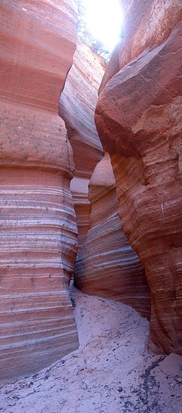
| Description | Narrows in Dianas Throne Canyon - DyeClan.com | ||
| Date | Taken on 10 October 2012 | ||
| Source | https://web.archive.org/web/20161026034311/http://www.panoramio.com/photo/81403689 | ||
| Author | The Dye Clan | ||
| Permission (Reusing this file) |
This file is licensed under the Creative Commons Attribution-Share Alike 3.0 Unported license. Attribution: The Dye Clan
|
||
| Tags (from Panoramio photo page) | Kane County |
| Camera location | | View this and other nearby images on: OpenStreetMap |
|---|
.jpg¶ms=037.197720_N_-112.658218_E_globe:Earth_type:camera_source:Panoramio_&language=en)
File history
Click on a date/time to view the file as it appeared at that time.
| Date/Time | Thumbnail | Dimensions | User | Comment | |
|---|---|---|---|---|---|
| current | 06:21, 22 January 2017 | | 2,352 × 5,313 (12.23 MB) | Panoramio upload bot (talk | contribs) | == {{int:filedesc}} == {{Information |description=Narrows in Dianas Throne Canyon - DyeClan.com |date={{Taken on|2012-10-10}} |source=http://www.panoramio.com/photo/81403689 |author=[http://www.panoramio.com/user/5156912?with_photo_id=81403689 The Dye... |
You cannot overwrite this file.
File usage on Commons
The following 6 pages use this file:
File usage on other wikis
The following other wikis use this file:
- Usage on ar.wikipedia.org
- Usage on be.wikipedia.org
- Usage on ceb.wikipedia.org
- Usage on ce.wikipedia.org
- Usage on cs.wikipedia.org
- Usage on cy.wikipedia.org
- Usage on diq.wikipedia.org
- Usage on en.wikipedia.org
- Usage on es.wikipedia.org
- Usage on fr.wikipedia.org
- Usage on he.wikipedia.org
- Usage on hu.wikipedia.org
- Usage on hy.wikipedia.org
- Usage on ko.wikipedia.org
- Usage on no.wikipedia.org
- Usage on pl.wikipedia.org
- Usage on ru.wikipedia.org
- Usage on sr.wikipedia.org
- Usage on tr.wikipedia.org
- Usage on tt.wikipedia.org
- Usage on ur.wikipedia.org
- Usage on www.wikidata.org
.jpg&oldid=647030608)