File:New Mexico State Road 9 approaching New Mexico State Road 80.jpg
From Wikimedia Commons, the free media repository
Jump to navigation
Jump to search
![File:New Mexico State Road 9 approaching New Mexico State Road 80.jpg](https://upload.wikimedia.org/wikipedia/commons/thumb/f/f3/New_Mexico_State_Road_9_approaching_New_Mexico_State_Road_80.jpg/800px-New_Mexico_State_Road_9_approaching_New_Mexico_State_Road_80.jpg?20191022225349)
Size of this preview: 800 × 377 pixels. Other resolutions: 320 × 151 pixels | 640 × 301 pixels | 1,024 × 482 pixels | 1,280 × 603 pixels | 3,085 × 1,453 pixels.
Original file (3,085 × 1,453 pixels, file size: 1.14 MB, MIME type: image/jpeg)
File information
Structured data
Captions
Captions
Add a one-line explanation of what this file represents
Summary
[edit]DescriptionNew Mexico State Road 9 approaching New Mexico State Road 80.jpg |
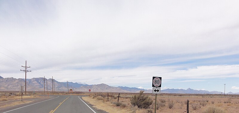
English: New Mexico State Road 9 approaching its junction with New Mexico State Road 80 |
Date | |
Source | https://www.flickr.com/photos/ossguy/5540609644/in/faves-184785477@N03/ |
Author | Denver Gingerich |
Camera location | 31° 55′ 14.17″ N, 109° 01′ 57.02″ W ![]() ![]() | View this and other nearby images on: OpenStreetMap | ![]() |
---|
Licensing
[edit]![w:en:Creative Commons](https://upload.wikimedia.org/wikipedia/commons/thumb/7/79/CC_some_rights_reserved.svg/90px-CC_some_rights_reserved.svg.png)
![attribution](https://upload.wikimedia.org/wikipedia/commons/thumb/1/11/Cc-by_new_white.svg/24px-Cc-by_new_white.svg.png)
![share alike](https://upload.wikimedia.org/wikipedia/commons/thumb/d/df/Cc-sa_white.svg/24px-Cc-sa_white.svg.png)
This file is licensed under the Creative Commons Attribution-Share Alike 2.0 Generic license.
- You are free:
- to share – to copy, distribute and transmit the work
- to remix – to adapt the work
- Under the following conditions:
- attribution – You must give appropriate credit, provide a link to the license, and indicate if changes were made. You may do so in any reasonable manner, but not in any way that suggests the licensor endorses you or your use.
- share alike – If you remix, transform, or build upon the material, you must distribute your contributions under the same or compatible license as the original.
![]() |
This image was originally posted to Flickr by ossguy at https://flickr.com/photos/45508448@N05/5540609644 (archive). It was reviewed on 22 October 2019 by FlickreviewR 2 and was confirmed to be licensed under the terms of the cc-by-sa-2.0. |
22 October 2019
File history
Click on a date/time to view the file as it appeared at that time.
Date/Time | Thumbnail | Dimensions | User | Comment | |
---|---|---|---|---|---|
current | 22:53, 22 October 2019 | ![]() | 3,085 × 1,453 (1.14 MB) | 420Traveler (talk | contribs) | Cropped 15 % horizontally, 47 % vertically using CropTool with precise mode. |
22:50, 22 October 2019 | ![]() | 3,648 × 2,736 (3.71 MB) | 420Traveler (talk | contribs) | {{Information |description ={{en|1=New Mexico State Road 9 approaching its junction with New Mexico State Road 80}} |date =2011-02-17 |source =https://www.flickr.com/photos/ossguy/5540609644/in/faves-184785477@N03/ |author =[https://www.flickr.com/photos/ossguy/ Denver Gingerich] }} Category:New Mexico State Road 80 Category:New Mexico State Road 9 |
You cannot overwrite this file.
File usage on Commons
The following page uses this file:
File usage on other wikis
The following other wikis use this file:
- Usage on en.wikipedia.org
Metadata
This file contains additional information such as Exif metadata which may have been added by the digital camera, scanner, or software program used to create or digitize it. If the file has been modified from its original state, some details such as the timestamp may not fully reflect those of the original file. The timestamp is only as accurate as the clock in the camera, and it may be completely wrong.
Camera manufacturer | SONY |
---|---|
Camera model | DSC-HX5V |
Exposure time | 1/250 sec (0.004) |
F-number | f/8 |
ISO speed rating | 125 |
Date and time of data generation | 14:20, 17 February 2011 |
Lens focal length | 4.25 mm |
Latitude | 31° 55′ 14.17″ N |
Longitude | 109° 1′ 57.02″ W |
Altitude | 1,253.3 meters above sea level |
Orientation | Normal |
Horizontal resolution | 72 dpi |
Vertical resolution | 72 dpi |
File change date and time | 14:20, 17 February 2011 |
Y and C positioning | Co-sited |
Exposure Program | Normal program |
Exif version | 2.21 |
Date and time of digitizing | 14:20, 17 February 2011 |
Meaning of each component |
|
Image compression mode | 4 |
APEX exposure bias | 0 |
Maximum land aperture | 3.625 APEX (f/3.51) |
Metering mode | Pattern |
Light source | Unknown |
Flash | Flash did not fire, compulsory flash suppression |
Supported Flashpix version | 1 |
Color space | sRGB |
File source | Digital still camera |
Scene type | A directly photographed image |
Custom image processing | Normal process |
Exposure mode | Auto exposure |
White balance | Auto white balance |
Scene capture type | Landscape |
Contrast | Normal |
Saturation | Normal |
Sharpness | Normal |
GPS time (atomic clock) | 18:20 |
Receiver status | Measurement in progress |
Measurement mode | 3-dimensional measurement |
Speed unit | Kilometers per hour |
Speed of GPS receiver | 81.2 |
Reference for direction of movement | True direction |
Direction of movement | 269.61 |
Reference for direction of image | Magnetic direction |
Direction of image | 276.5 |
Geodetic survey data used | WGS-84 |
GPS date | 17 February 2011 |
GPS differential correction | 0 |
GPS tag version | 0.0.2.2 |