File:Nicolas de Fer, La Terre Sainte (FL200878559 2368544).jpg
Jump to navigation
Jump to search

Size of this preview: 800 × 559 pixels. Other resolutions: 320 × 224 pixels | 640 × 447 pixels | 1,024 × 715 pixels | 1,280 × 894 pixels | 2,560 × 1,788 pixels | 6,952 × 4,856 pixels.
Original file (6,952 × 4,856 pixels, file size: 16.77 MB, MIME type: image/jpeg)
Captions
Captions
Add a one-line explanation of what this file represents
Summary
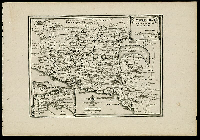
[edit]| Nicolas de Fer: La Terre Sainte
( |
||||||||||||||||||||||||
|---|---|---|---|---|---|---|---|---|---|---|---|---|---|---|---|---|---|---|---|---|---|---|---|---|
| Artist |
| |||||||||||||||||||||||
| Contributors | La Rué, Philippe de | |||||||||||||||||||||||
| Title |
La Terre Sainte |
|||||||||||||||||||||||
| Description |
La Terre Sainte. tirée des memoires de M. de la Ruë . Par N. de Fer. |
|||||||||||||||||||||||
| Language | French | |||||||||||||||||||||||
| Publication date | 1703 | |||||||||||||||||||||||
| Medium | 1 map ; | |||||||||||||||||||||||
| Dimensions | height: 232 mm (9.13 in); width: 306 mm (12.04 in) + explanatory text. | |||||||||||||||||||||||
| Collection |
|
|||||||||||||||||||||||
| Current location |
|
|||||||||||||||||||||||
| Place of publication | Paris | |||||||||||||||||||||||
| search Merhav catalog | Paris | |||||||||||||||||||||||
| Notes | Copperplate; Inset bottom left: Le passage du Peuple Saint par les deserts de l'Arabie.; From: Fer, Nicolas de, Atlas curieux, Paris, 1705.; Explanatory text on page following the map: Description de la Terre Sainte, par N. de Fer. | |||||||||||||||||||||||
| IE PID | IE200878556 | |||||||||||||||||||||||
| Rosetta filename | FL200878559 | |||||||||||||||||||||||
| NNL item ID (P3959) | 990023685440205171 | |||||||||||||||||||||||
| search Merhav catalog | French, Nicolas de Fer | |||||||||||||||||||||||
| search Merhav catalog | Twelve tribes of IsraelMaps | |||||||||||||||||||||||
| Source/Photographer |
|
|||||||||||||||||||||||
| Other versions | ||||||||||||||||||||||||
| Jpg / Tif version |
|
|||||||||||||||||||||||


.jpg)

.jpg&action=edit§ion=1)
Licensing
[edit].jpg&action=edit§ion=2)
The copyright situation of this work is theoretically uncertain, because in the country of origin copyright lasts 70 years after the death of the author, and the date of the author's death is unknown. However, the date of creation of the work was over 120 years ago, and it is thus a reasonable assumption that the copyright has expired (see here for the community discussion). Do not use this template if the date of death of the author is known.
| |
| This file has been identified as being free of known restrictions under copyright law, including all related and neighboring rights. | |
File history
Click on a date/time to view the file as it appeared at that time.
| Date/Time | Thumbnail | Dimensions | User | Comment | |
|---|---|---|---|---|---|
| current | 12:08, 28 July 2023 | | 6,952 × 4,856 (16.77 MB) | Geagea (talk | contribs) | pattypan 22.03 |
You cannot overwrite this file.
File usage on Commons
The following page uses this file:
.jpg&oldid=790292495)