File:Niobrara River at NE7 DS.JPG
Jump to navigation
Jump to search

Size of this preview: 800 × 481 pixels. Other resolutions: 320 × 192 pixels | 640 × 384 pixels | 1,024 × 615 pixels | 1,280 × 769 pixels | 2,319 × 1,393 pixels.
Original file (2,319 × 1,393 pixels, file size: 1.28 MB, MIME type: image/jpeg)
Captions
Captions
Add a one-line explanation of what this file represents
Summary[edit]
| Description |
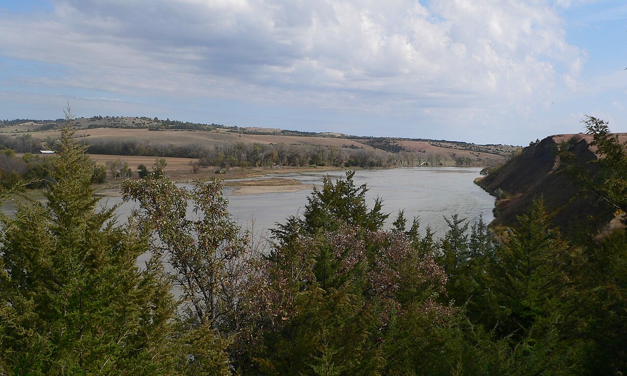
English: Niobrara River at Nebraska Highway 7 crossing. The photo was taken from an overlook in Fred Thomas Wildlife Management Area in Rock County, south of the river, looking northeast. Downstream is east. |
| Date | |
| Source | Own work |
| Author | Ammodramus |
| Camera location | | View this and other nearby images on: OpenStreetMap |
|---|
Licensing[edit]
| I, the copyright holder of this work, release this work into the public domain. This applies worldwide. In some countries this may not be legally possible; if so: I grant anyone the right to use this work for any purpose, without any conditions, unless such conditions are required by law. |
File history
Click on a date/time to view the file as it appeared at that time.
| Date/Time | Thumbnail | Dimensions | User | Comment | |
|---|---|---|---|---|---|
| current | 15:58, 22 October 2010 | | 2,319 × 1,393 (1.28 MB) | Ammodramus (talk | contribs) | {{Information |Description={{en|1={{w|Niobrara River}} at {{Nebraska Highway 7}} crossing. The photo was taken from an overlook in Fred Thomas Wildlife Management Area in Rock County, south of the river, looking northeast. D |
You cannot overwrite this file.
File usage on Commons
There are no pages that use this file.
File usage on other wikis
The following other wikis use this file:
- Usage on de.wikipedia.org