File:NottinghamshireParliamentaryConstituenciesNumbered.svg
Jump to navigation
Jump to search

Size of this PNG preview of this SVG file: 150 × 260 pixels. Other resolutions: 138 × 240 pixels | 277 × 480 pixels | 443 × 768 pixels | 591 × 1,024 pixels | 1,181 × 2,048 pixels.
Original file (SVG file, nominally 150 × 260 pixels, file size: 61 KB)
Captions
Captions
Add a one-line explanation of what this file represents
Summary
[edit]
| Description |
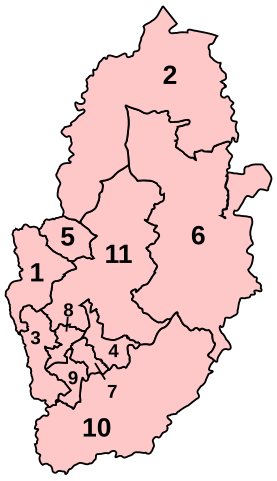
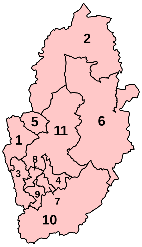
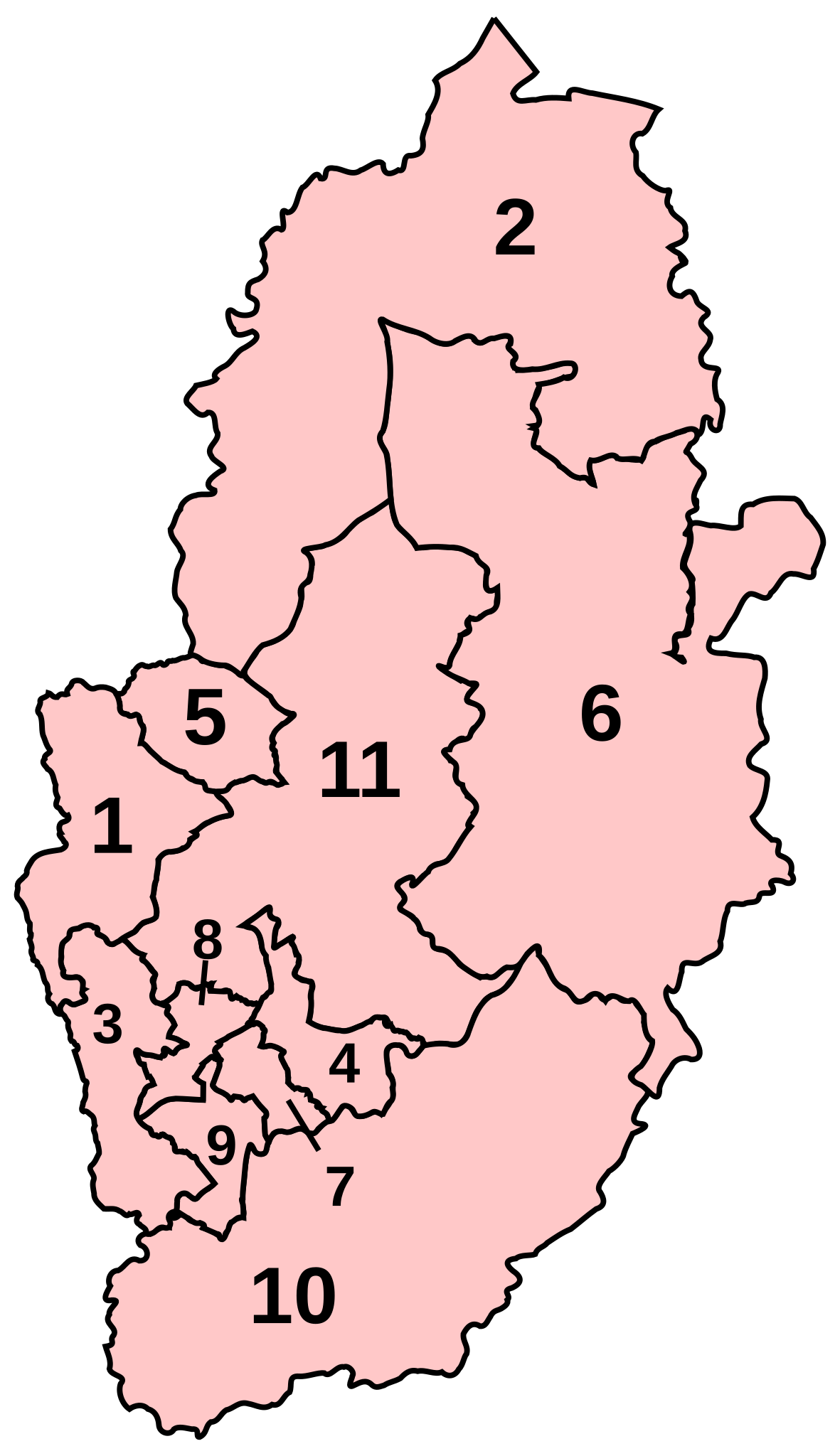
English: Numbered map of the Parliamentary constituencies of Nottinghamshire. |
| Source | Own work |
| Author | Wereon |
Licensing
[edit]
| I, the copyright holder of this work, release this work into the public domain. This applies worldwide. In some countries this may not be legally possible; if so: I grant anyone the right to use this work for any purpose, without any conditions, unless such conditions are required by law. |
derivative works
[edit]
Derivative works of this file: NottinghamshireParliamentaryConstituenciesNumbered2005.png
File history
Click on a date/time to view the file as it appeared at that time.
| Date/Time | Thumbnail | Dimensions | User | Comment | |
|---|---|---|---|---|---|
| current | 19:45, 20 April 2007 | | 150 × 260 (61 KB) | Wereon (talk | contribs) | |
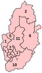
| 19:44, 20 April 2007 |  | 150 × 260 (61 KB) | Wereon (talk | contribs) | higher quality | |
| 20:55, 7 November 2006 |  | 143 × 252 (17 KB) | Wereon (talk | contribs) | Numbered map of the Parliamentary constituencies of Nottinghamshire. Category:Maps of Parliamentary constituencies in Nottinghamshire |
You cannot overwrite this file.
File usage on Commons
The following page uses this file:
File usage on other wikis
The following other wikis use this file:
- Usage on en.wikipedia.org
- Usage on fr.wikipedia.org