File:Nutana-map.png
Jump to navigation
Jump to search

Size of this preview: 766 × 599 pixels. Other resolutions: 307 × 240 pixels | 614 × 480 pixels | 846 × 662 pixels.
Original file (846 × 662 pixels, file size: 211 KB, MIME type: image/png)
Captions
Captions
Add a one-line explanation of what this file represents
Summary[edit]
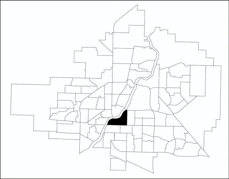
| Description | A map showing the location of the Nutana neighbourhood in relation to the other neighbourhoods in w:Saskatoon. |
| Source | http://www.saskatoon.ca/DEPARTMENTS/Community%20Services/PlanningDevelopment/Documents/Research/Neighbourhood_profiles/2010/Nutana.pdf |
| Author | City of Saskatoon - Planning & Development Branch |
| Permission (Reusing this file) |
GFDL, Author's permission forwarded to permissions@wikimedia.org on November 1, 2007 as long as it is appropriately sourced. |
Licensing[edit]
The City of Saskatoon - Planning & Development Branch, the copyright holder of this work, hereby publishes it under the following license:

|
Permission is granted to copy, distribute and/or modify this document under the terms of the GNU Free Documentation License, Version 1.2 or any later version published by the Free Software Foundation; with no Invariant Sections, no Front-Cover Texts, and no Back-Cover Texts. A copy of the license is included in the section entitled GNU Free Documentation License. |
| This file is licensed under the Creative Commons Attribution-Share Alike 3.0 Unported license. | ||
| Attribution: The City of Saskatoon - Planning & Development Branch | ||
| ||
| This licensing tag was added to this file as part of the GFDL licensing update. |
Original upload log[edit]
The original description page was here. All following user names refer to en.wikipedia.
| Date/Time | Dimensions | User | Comment |
|---|---|---|---|
| 2011-03-09 21:39:05 | 846× 662× | Drm310 | Updated version from 2010 |
| 2007-11-01 20:21:35 | 330× 250× | Drm310 | A map showing the location of the [[Nutana, Saskatoon|Nutana]] neighbourhood in relation to the other neighbourhoods in [[Saskatoon]].<br /> Original URL: http://www.saskatoon.ca/org/city_planning/resources/neighbourhood_demographics/nutana.pdf<br /> Auth |
File history
Click on a date/time to view the file as it appeared at that time.
| Date/Time | Thumbnail | Dimensions | User | Comment | |
|---|---|---|---|---|---|
| current | 03:22, 27 October 2016 | | 846 × 662 (211 KB) | OgreBot (talk | contribs) | (BOT): Reverting to most recent version before archival |
| 03:22, 27 October 2016 |  | 330 × 250 (22 KB) | OgreBot (talk | contribs) | (BOT): Uploading old version of file from en.wikipedia; originally uploaded on 2007-11-01 20:21:35 by Drm310 | |
| 06:00, 25 October 2016 |  | 846 × 662 (211 KB) | FastilyClone (talk | contribs) | Transferred from en.wikipedia (MTC!) |
You cannot overwrite this file.
File usage on Commons
The following page uses this file:
File usage on other wikis
The following other wikis use this file:
- Usage on en.wikipedia.org
- Usage on www.wikidata.org