File:Nyíregyháza, Hungary - panoramio (286).jpg
Jump to navigation
Jump to search
Size of this preview: 800 × 315 pixels. Other resolutions: 320 × 126 pixels | 640 × 252 pixels | 1,024 × 403 pixels | 1,280 × 504 pixels | 3,112 × 1,226 pixels.
Original file (3,112 × 1,226 pixels, file size: 714 KB, MIME type: image/jpeg)
Captions
Captions
Add a one-line explanation of what this file represents
Summary
[edit].jpg&action=edit§ion=1)
| Description |
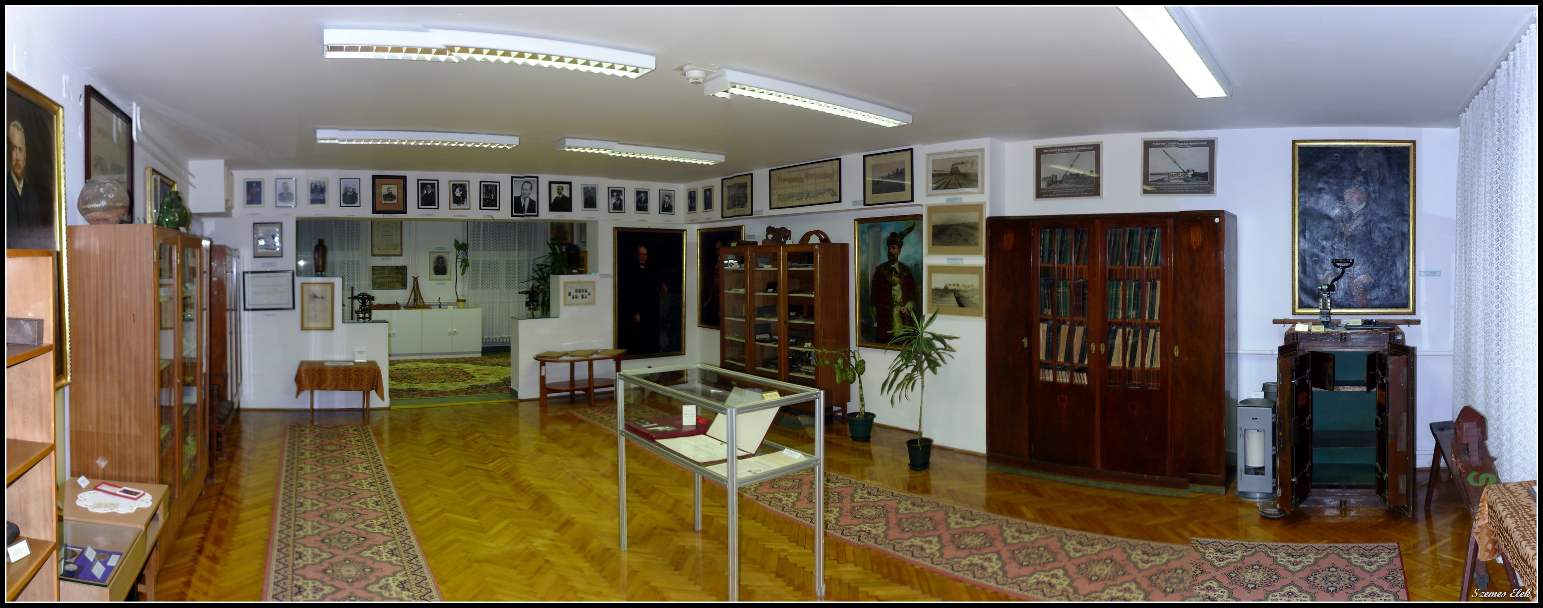
English: Nyíregyháza, Hungary |
||
| Date | Taken on 25 June 2016 | ||
| Source | https://web.archive.org/web/20161103094628/http://www.panoramio.com/photo/131830387 | ||
| Author | Szemes Elek | ||
| Permission (Reusing this file) |
This file is licensed under the Creative Commons Attribution-Share Alike 3.0 Unported license. Attribution: Szemes Elek
|
||
| Panoramio Tags | Nyíregyháza, 2016, Magyarország, Nyíregyháza, Szabolcs-Szatmár-Bereg |
| Camera location | | View this and other nearby images on: OpenStreetMap |
|---|
.jpg¶ms=047.940781_N_0021.711849_E_globe:Earth_type:camera_source:Panoramio_&language=en)
File history
Click on a date/time to view the file as it appeared at that time.
| Date/Time | Thumbnail | Dimensions | User | Comment | |
|---|---|---|---|---|---|
| current | 22:14, 13 July 2017 | 3,112 × 1,226 (714 KB) | Panoramio upload bot (talk | contribs) | == {{int:filedesc}} == {{Information |description=Nyíregyháza, Hungary |date={{Taken on|2016-06-25}} |source=http://www.panoramio.com/photo/131830387 |author=[http://www.panoramio.com/user/284747?with_photo_id=131830387 Szemes Elek] |permission={{cc-... |
You cannot overwrite this file.
File usage on Commons
There are no pages that use this file.
.jpg&oldid=655495174)