File:OSM Curacao.png
Jump to navigation
Jump to search

Size of this preview: 796 × 600 pixels. Other resolutions: 319 × 240 pixels | 637 × 480 pixels | 1,019 × 768 pixels | 1,280 × 965 pixels | 2,286 × 1,723 pixels.
Original file (2,286 × 1,723 pixels, file size: 224 KB, MIME type: image/png)
Captions
Captions
Add a one-line explanation of what this file represents
Summary
[edit]
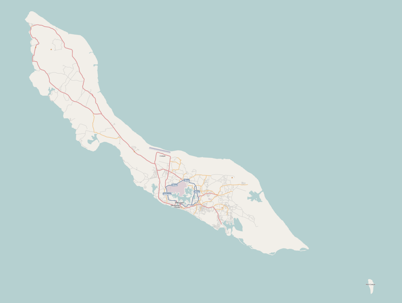
| Description | Curaçao |
| Date | |
| Source |
|
| Author | Hanhil (talk) 20:11, 22 May 2009 (UTC) |
Licensing
[edit]
This file is licensed under the Creative Commons Attribution-Share Alike 2.0 Generic license.
- You are free:
- to share – to copy, distribute and transmit the work
- to remix – to adapt the work
- Under the following conditions:
- attribution – You must give appropriate credit, provide a link to the license, and indicate if changes were made. You may do so in any reasonable manner, but not in any way that suggests the licensor endorses you or your use.
- share alike – If you remix, transform, or build upon the material, you must distribute your contributions under the same or compatible license as the original.
File history
Click on a date/time to view the file as it appeared at that time.
| Date/Time | Thumbnail | Dimensions | User | Comment | |
|---|---|---|---|---|---|
| current | 20:11, 22 May 2009 | | 2,286 × 1,723 (224 KB) | Hanhil (talk | contribs) | {{Information |Description= Curaçao |Source=*Map based on the free editable OSM map http://www.openstreetmap.org/index.html. Content is available under Creative Commons Attribution-ShareAlike 2.0 license. |Date=2009-05-22 |Author= ~~~~ |Permission= }} |
You cannot overwrite this file.
File usage on Commons
There are no pages that use this file.
File usage on other wikis
The following other wikis use this file:
- Usage on de.wikipedia.org
- Usage on frr.wikipedia.org
- Usage on lt.wikipedia.org
- Usage on nl.wikipedia.org
- Curaçao
- Koningin Emmabrug
- Koningin Julianabrug (Curaçao)
- Muizenberg (Willemstad)
- Otrobanda
- Punda
- Julianadorp (Curaçao)
- Christoffelpark
- Universiteit van Curaçao
- Hato (Curaçao)
- Westpunt (Curaçao)
- Saliña (Curaçao)
- Isla (Curaçao)
- Sint Willibrordus (Curaçao)
- Brievengat
- Caracasbaai
- Baya Beach
- Jan Thielbaai
- Grote Knip
- Kleine Knip
- Koningin Wilhelminabrug
- Emmastad
- Sjabloon:Positiekaart Curaçao
- Tera Corá (Curaçao)
- Curaçaosch Museum
- Barber (Curaçao)
- Sint-Christoffelberg
- Grotten van Hato
- Santa Barbara Beach
- Seaquarium Beach
- Blauwbaai
- Daaibooi
- Playa Lagun
- Playa Kalki
View more global usage of this file.