File:OSM Via Expressa Baía de Todos os Santos.png
Jump to navigation
Jump to search
Size of this preview: 800 × 386 pixels. Other resolutions: 320 × 154 pixels | 914 × 441 pixels.
Original file (914 × 441 pixels, file size: 281 KB, MIME type: image/png)
Captions
Captions
Add a one-line explanation of what this file represents
Summary
[edit]
| Description | |
| Date | |
| Source | http://www.openstreetmap.org |
| Author | OpenStreetMap |
Coordenadas de borda
[edit]
| -12.9484 | ||
| -38.5107 | -38.4678 | |
| 12.9790- |
Licensing
[edit]
| Description |
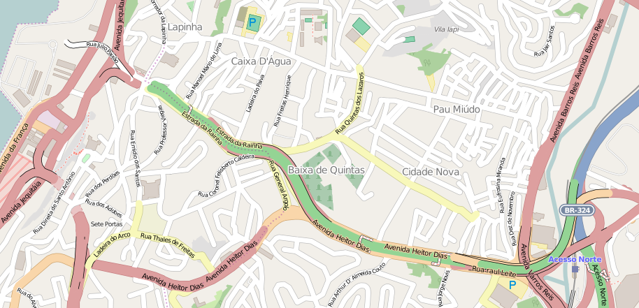
This map was created from OpenStreetMap project data, collected by the community. This map may be incomplete, and may contain errors. Don't rely solely on it for navigation. |
|||
| Date | (see file history) | |||
| Source | openstreetmap.org | |||
| Creator |
OpenStreetMap contributors |
|||
| Permission (Reusing this file) |
OpenStreetMap data is available under the Open Database License (details). Map tiles are licensed under the Creative Commons Attribution-ShareAlike 2.0 license (CC-BY-SA 2.0).
This file is licensed under the Creative Commons Attribution-Share Alike 2.0 Generic license.
|
|||
| Georeferencing | If inappropriate please set warp_status = skip to hide. |
File history
Click on a date/time to view the file as it appeared at that time.
| Date/Time | Thumbnail | Dimensions | User | Comment | |
|---|---|---|---|---|---|
| current | 20:59, 5 September 2015 | | 914 × 441 (281 KB) | Luan (talk | contribs) | =={{int:filedesc}}== {{Information |description={{pt|1=Mapa da pt:Via Expressa Baía de Todos os Santos, em Salvador, Brasil.}} |date=2015-09-05 |source=http://www.openstreetmap.org |author=OpenStreetMap *uploaded {{u... |
You cannot overwrite this file.
File usage on Commons
The following 2 pages use this file:
File usage on other wikis
The following other wikis use this file:
- Usage on pt.wikipedia.org
- Usage on www.wikidata.org