File:Oberdrees Schulstraße Friedhof (08).jpg
Jump to navigation
Jump to search

Size of this preview: 800 × 561 pixels. Other resolutions: 320 × 225 pixels | 640 × 449 pixels | 1,024 × 719 pixels | 1,280 × 898 pixels | 2,560 × 1,797 pixels | 5,292 × 3,714 pixels.
Original file (5,292 × 3,714 pixels, file size: 5.32 MB, MIME type: image/jpeg)
Captions
Captions
Add a one-line explanation of what this file represents
Summary
[edit].jpg&action=edit§ion=1)
| Description |
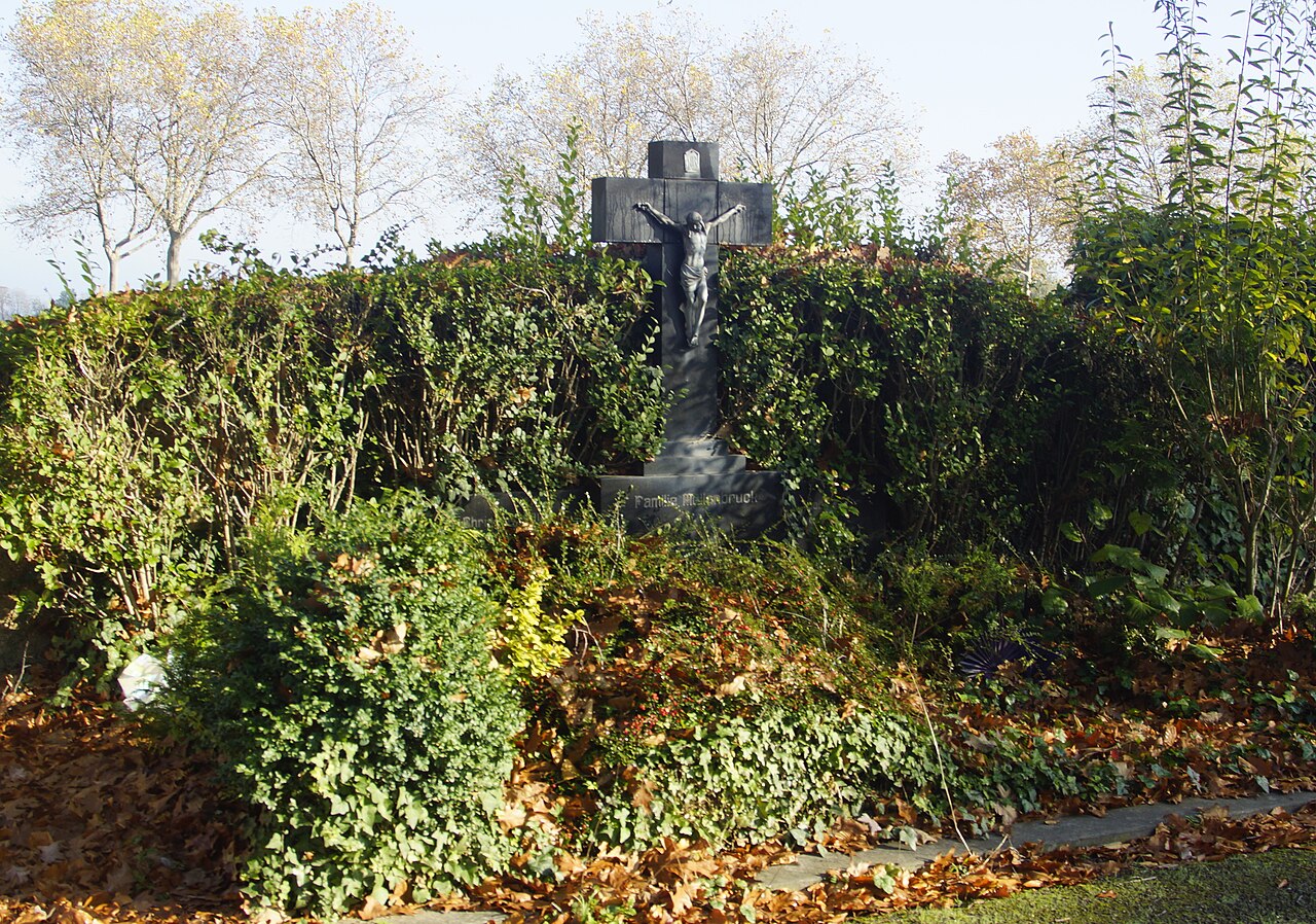
English: Cemetery in Oberdrees, Schulstraße: grave with rich vegetation Deutsch: Friedhof in Oberdrees, Schulstraße: Grab mit reichem Bewuchs |
| Date | |
| Source | Own work |
| Author | Prof. emer. Hans Schneider (Geyersberg) |
| Camera location | | View this and other nearby images on: OpenStreetMap |
|---|
.jpg¶ms=050.640236_N_0006.923603_E_globe:Earth_type:camera_alt:148_source:exif_&language=en)
Licensing
[edit].jpg&action=edit§ion=2)
I, the copyright holder of this work, hereby publish it under the following licenses:

|
Permission is granted to copy, distribute and/or modify this document under the terms of the GNU Free Documentation License, Version 1.2 or any later version published by the Free Software Foundation; with no Invariant Sections, no Front-Cover Texts, and no Back-Cover Texts. A copy of the license is included in the section entitled GNU Free Documentation License. |
This file is licensed under the Creative Commons Attribution 4.0 International license.
- You are free:
- to share – to copy, distribute and transmit the work
- to remix – to adapt the work
- Under the following conditions:
- attribution – You must give appropriate credit, provide a link to the license, and indicate if changes were made. You may do so in any reasonable manner, but not in any way that suggests the licensor endorses you or your use.
You may select the license of your choice.
File history
Click on a date/time to view the file as it appeared at that time.
| Date/Time | Thumbnail | Dimensions | User | Comment | |
|---|---|---|---|---|---|
| current | 20:58, 5 November 2020 | | 5,292 × 3,714 (5.32 MB) | Geyersberg (talk | contribs) | {{Information |Description={{en|1=Cemetery in Oberdrees, Schulstraße: grave with rich vegetation}}{{de|1=Friedhof in Oberdrees, Schulstraße: Grab mit reichem Bewuchs}} |Source={{own}} |Date=2020-11-05 |Author=Prof. emer. Hans Schneider (Geyersberg) |Permission= |other_versions= }} Category:Friedhof Schulstraße (Oberdrees) Category:Files by User:Geyersberg 1105 |
You cannot overwrite this file.
File usage on Commons
There are no pages that use this file.
.jpg&oldid=713747817)