File:Obernai rSélestat 38a.jpg
From Wikimedia Commons, the free media repository
Jump to navigation
Jump to search
Size of this preview: 800 × 590 pixels. Other resolutions: 320 × 236 pixels | 640 × 472 pixels | 1,024 × 755 pixels | 1,280 × 944 pixels | 2,560 × 1,887 pixels | 3,648 × 2,689 pixels.
Original file (3,648 × 2,689 pixels, file size: 2.57 MB, MIME type: image/jpeg)
File information
Structured data
Captions
DescriptionObernai rSélestat 38a.jpg |
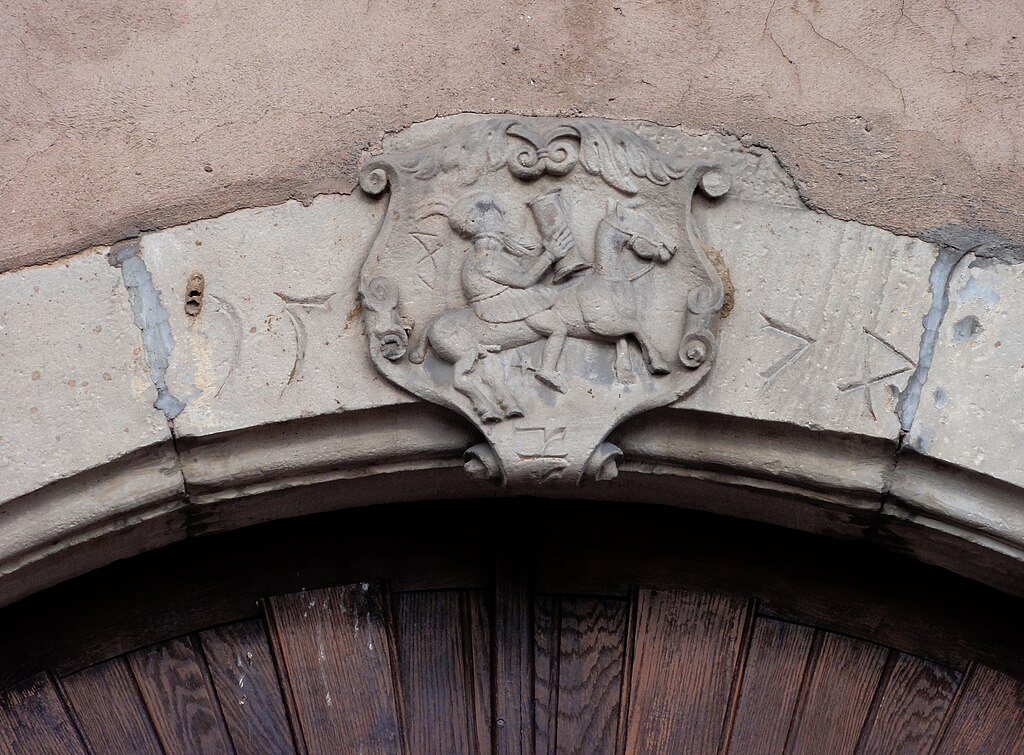
Alsace, Bas-Rhin, Obernai, Maison (XIXe), 38 rue de Sélestat.
|
|
Date | ||
Source | Own work | |
Author | Ralph Hammann | |
Permission (Reusing this file) |
I, the copyright holder of this work, hereby publish it under the following license: This file is licensed under the Creative Commons Attribution-Share Alike 3.0 Unported license.
|
Camera location | 48° 27′ 36.93″ N, 7° 28′ 59.75″ E | View this and other nearby images on: OpenStreetMap | 48.460258; 7.483263 |
---|
File history
Click on a date/time to view the file as it appeared at that time.
Date/Time | Thumbnail | Dimensions | User | Comment | |
---|---|---|---|---|---|
current | 14:45, 1 November 2013 | 3,648 × 2,689 (2.57 MB) | Ralph Hammann (talk | contribs) | User created page with UploadWizard |
You cannot overwrite this file.
File usage on Commons
The following page uses this file:
- File:Obernai rSélestat 35.JPG (file redirect)
Metadata
This file contains additional information such as Exif metadata which may have been added by the digital camera, scanner, or software program used to create or digitize it. If the file has been modified from its original state, some details such as the timestamp may not fully reflect those of the original file. The timestamp is only as accurate as the clock in the camera, and it may be completely wrong.
Camera manufacturer | SONY |
---|---|
Camera model | DSC-HX5V |
Exposure time | 1/250 sec (0.004) |
F-number | f/5.5 |
ISO speed rating | 200 |
Date and time of data generation | 09:26, 13 August 2013 |
Lens focal length | 42.5 mm |
Latitude | 48° 27′ 36.93″ N |
Longitude | 7° 28′ 59.75″ E |
Altitude | 177.1 meters above sea level |
Orientation | Normal |
Horizontal resolution | 72 dpi |
Vertical resolution | 72 dpi |
File change date and time | 09:26, 13 August 2013 |
Y and C positioning | Co-sited |
Exposure Program | Normal program |
Exif version | 2.21 |
Date and time of digitizing | 09:26, 13 August 2013 |
Meaning of each component |
|
Image compression mode | 4 |
APEX exposure bias | 0 |
Maximum land aperture | 3.625 APEX (f/3.51) |
Metering mode | Pattern |
Light source | Unknown |
Flash | Flash did not fire, compulsory flash suppression |
Supported Flashpix version | 1 |
Color space | sRGB |
File source | Digital still camera |
Scene type | A directly photographed image |
Custom image processing | Normal process |
Exposure mode | Auto exposure |
White balance | Auto white balance |
Scene capture type | Standard |
Contrast | Normal |
Saturation | Normal |
Sharpness | Normal |
GPS time (atomic clock) | 07:27 |
Receiver status | Measurement in progress |
Measurement mode | 3-dimensional measurement |
Speed unit | Kilometers per hour |
Speed of GPS receiver | 0 |
Reference for direction of movement | True direction |
Direction of movement | 231.16 |
Reference for direction of image | Magnetic direction |
Direction of image | 298.25 |
Geodetic survey data used | WGS-84 |
GPS date | 13 August 2013 |
GPS differential correction | 0 |
GPS tag version | 0.0.2.2 |
Hidden categories:
- Base Mérimée
- Monuments à l’inventaire
- Mérimée with IA parameter
- Cultural heritage monuments in France with known IDs
- Cultural heritage monuments in France missing SDC depicts
- Cultural heritage monuments in France missing SDC location of creation
- CC-BY-SA-3.0
- Self-published work
- Files with coordinates missing SDC location of creation (48° N, 7° E)
- Photographs of Obernai by Ralph Hammann
- Taken with Sony DSC-HX5V