File:Oceania laea relief location map.jpg
Jump to navigation
Jump to search
Size of this preview: 699 × 600 pixels. Other resolutions: 280 × 240 pixels | 560 × 480 pixels | 895 × 768 pixels | 1,181 × 1,013 pixels.
Original file (1,181 × 1,013 pixels, file size: 1,022 KB, MIME type: image/jpeg)
Captions
Captions
Oceania
Summary[edit]
| Description |
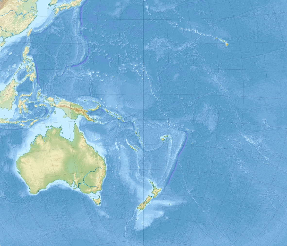
English: Relief location map of Oceania.
|
| Date | |
| Source | Own work |
| Author | Uwe Dedering |
Licensing[edit]
I, the copyright holder of this work, hereby publish it under the following licenses:
This file is licensed under the Creative Commons Attribution-Share Alike 3.0 Unported license.
- You are free:
- to share – to copy, distribute and transmit the work
- to remix – to adapt the work
- Under the following conditions:
- attribution – You must give appropriate credit, provide a link to the license, and indicate if changes were made. You may do so in any reasonable manner, but not in any way that suggests the licensor endorses you or your use.
- share alike – If you remix, transform, or build upon the material, you must distribute your contributions under the same or compatible license as the original.

|
Permission is granted to copy, distribute and/or modify this document under the terms of the GNU Free Documentation License, Version 1.2 or any later version published by the Free Software Foundation; with no Invariant Sections, no Front-Cover Texts, and no Back-Cover Texts. A copy of the license is included in the section entitled GNU Free Documentation License. |
You may select the license of your choice.
File history
Click on a date/time to view the file as it appeared at that time.
| Date/Time | Thumbnail | Dimensions | User | Comment | |
|---|---|---|---|---|---|
| current | 14:03, 28 November 2010 | | 1,181 × 1,013 (1,022 KB) | Uwe Dedering (talk | contribs) | {{Information |Description={{en|1= Relief location map of Oceania. * Projection: Lambert azimuthal equal-area projection. * Area of interest: :* N: 35.0° N :* S: -55.0° N :* W: 110.0° E :* E: 230.0° E (This is -130° E) * Projection center: :* NS: -10 |
You cannot overwrite this file.
File usage on Commons
The following 31 pages use this file:
- File:Australia in Oceania (+external territories +highlighted) (relief).svg
- File:Australia in Oceania (relief).svg
- File:Australia in Oceania (relief) (-mini map).svg
- File:Federated States of Micronesia in Oceania (relief).svg
- File:Federated States of Micronesia in Oceania (relief) (-mini map).svg
- File:Fiji in Oceania (relief).svg
- File:Fiji in Oceania (relief) (-mini map).svg
- File:Kiribati in Oceania (relief).svg
- File:Kiribati in Oceania (relief) (-mini map).svg
- File:Marshall Islands in Oceania (relief).svg
- File:Marshall Islands in Oceania (relief) (-mini map).svg
- File:Micronesia in Oceania (relief) (red marker).svg
- File:Micronesia in Oceania (relief) (white marker).svg
- File:Nauru in Oceania (relief).svg
- File:Nauru in Oceania (relief) (-mini map).svg
- File:New Zealand in Oceania (relief).svg
- File:New Zealand in Oceania (relief) (-mini map).svg
- File:Palau in Oceania (relief).svg
- File:Palau in Oceania (relief) (-mini map).svg
- File:Papua New Guinea in Oceania (relief).svg
- File:Papua New Guinea in Oceania (relief) (-mini map).svg
- File:Samoa in Oceania (relief).svg
- File:Samoa in Oceania (relief) (-mini map).svg
- File:Solomon Islands in Oceania (relief).svg
- File:Solomon Islands in Oceania (relief) (-mini map).svg
- File:Tonga in Oceania (relief).svg
- File:Tonga in Oceania (relief) (-mini map).svg
- File:Tuvalu in Oceania (relief).svg
- File:Tuvalu in Oceania (relief) (-mini map).svg
- File:Vanuatu in Oceania (relief).svg
- File:Vanuatu in Oceania (relief) (-mini map).svg
_(relief).svg)
.svg)
_(-mini_map).svg)
.svg)
_(-mini_map).svg)
.svg)
_(-mini_map).svg)
.svg)
_(-mini_map).svg)
.svg)
_(-mini_map).svg)
_(red_marker).svg)
_(white_marker).svg)
.svg)
_(-mini_map).svg)
.svg)
_(-mini_map).svg)
.svg)
_(-mini_map).svg)
.svg)
_(-mini_map).svg)
.svg)
_(-mini_map).svg)
.svg)
_(-mini_map).svg)
.svg)
_(-mini_map).svg)
.svg)
_(-mini_map).svg)
.svg)
_(-mini_map).svg)
File usage on other wikis
The following other wikis use this file:
- Usage on ar.wikipedia.org
- Usage on ast.wikipedia.org
- Usage on az.wikipedia.org
- Usage on ban.wikipedia.org
- Usage on ba.wikipedia.org
- Usage on be.wikipedia.org
- Usage on bg.wikipedia.org
View more global usage of this file.