File:Ok-hwy-sys.png
Aller à la navigation
Aller à la recherche
Taille de cet aperçu : 800 × 474 pixels. Autres résolutions : 320 × 190 pixels | 640 × 380 pixels | 1 024 × 607 pixels | 1 280 × 759 pixels | 3 425 × 2 031 pixels.
Fichier d’origine (3 425 × 2 031 pixels, taille du fichier : 1,09 Mio, type MIME : image/png)
Légendes
Légendes
Ajoutez en une ligne la description de ce que représente ce fichier
Description
[modifier]
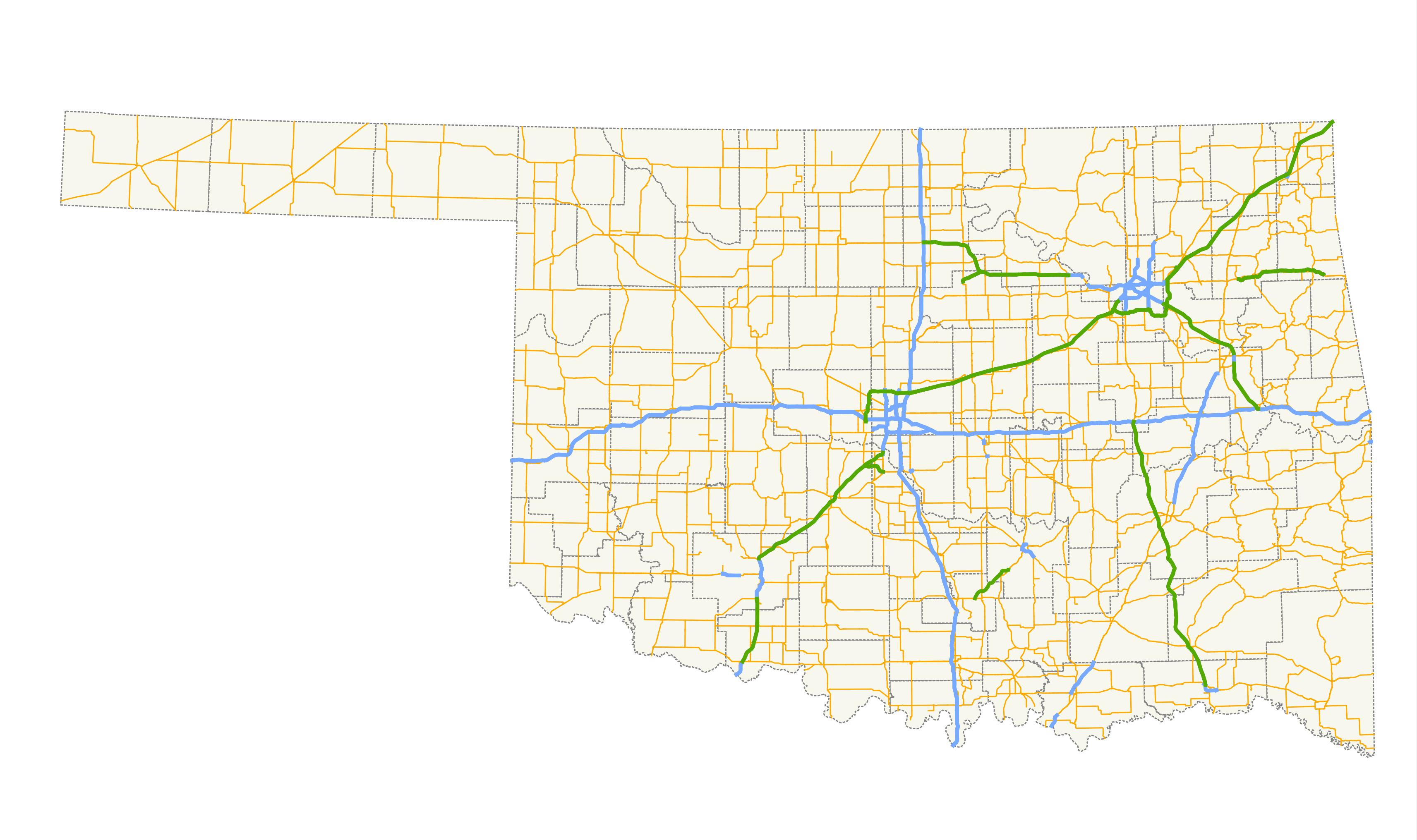
| Description | A map showing the path of all state highways and their spurs in Oklahoma. |
| Date | |
| Source |
Created by me in Quantum GIS 1.3.0 based on data collected from the Oklahoma Department of Transportation. Cette image matricielle PNG a été créée avec QGIS |
| Auteur | Scott Nazelrod |
| Autorisation (Réutilisation de ce fichier) |
Public domain, credit appreciated but not required |
Conditions d’utilisation
[modifier]
| Moi, propriétaire des droits d’auteur sur cette œuvre, la place dans le domaine public. Ceci s'applique dans le monde entier. Dans certains pays, ceci peut ne pas être possible ; dans ce cas : J’accorde à toute personne le droit d’utiliser cette œuvre dans n’importe quel but, sans aucune condition, sauf celles requises par la loi. |
Historique du fichier
Cliquer sur une date et heure pour voir le fichier tel qu'il était à ce moment-là.
| Date et heure | Vignette | Dimensions | Utilisateur | Commentaire | |
|---|---|---|---|---|---|
| actuel | 5 janvier 2010 à 04:23 | | 3 425 × 2 031 (1,09 Mio) | Scott5114 (d | contributions) | Even more freeways, dashed lines for c/ls |
| 23 janvier 2009 à 08:48 |  | 3 425 × 2 031 (162 kio) | Scott5114 (d | contributions) | Better projection, more freeways | |
| 18 février 2008 à 05:18 | 944 × 375 (41 kio) | Scott5114 (d | contributions) | Reverted to version as of 19:15, 6 February 2007 | ||
| 18 février 2008 à 05:17 |  | 2 205 × 1 286 (107 kio) | Scott5114 (d | contributions) | Stratosphere version | |
| 6 février 2007 à 19:15 | 944 × 375 (41 kio) | Scott5114 (d | contributions) | Crop | ||
| 6 février 2007 à 19:12 |  | 944 × 789 (34 kio) | Scott5114 (d | contributions) | Will Rogers, Cherokee, Norman Spur Turnpikes | |
| 31 janvier 2007 à 19:03 | 944 × 376 (41 kio) | Scott5114 (d | contributions) | Crop | ||
| 31 janvier 2007 à 18:45 |  | 944 × 789 (34 kio) | Scott5114 (d | contributions) | {{Information |Description=A map showing the path of all state highways and their spurs in Oklahoma. |Source=Created by me in Quantum GIS 0.8.0 based on data collected from http://www.geo.ou.edu/. |Date=31 January 2007 |Author=[[User:Scott5114|Sc |
Vous ne pouvez pas remplacer ce fichier.
Utilisations locales du fichier
La page suivante utilise ce fichier :
Utilisations du fichier sur d’autres wikis
Les autres wikis suivants utilisent ce fichier :
- Utilisation sur de.wikipedia.org
- Utilisation sur en.wikipedia.org
- Utilisation sur fr.wikipedia.org
- Utilisation sur www.wikidata.org