File:Okachimachi Station-South-exit.JPG
Jump to navigation
Jump to search
Size of this preview: 800 × 572 pixels. Other resolutions: 320 × 229 pixels | 640 × 457 pixels | 1,024 × 732 pixels | 1,187 × 848 pixels.
Original file (1,187 × 848 pixels, file size: 141 KB, MIME type: image/jpeg)
Captions
Captions
Add a one-line explanation of what this file represents
Summary
[edit]
| Description |
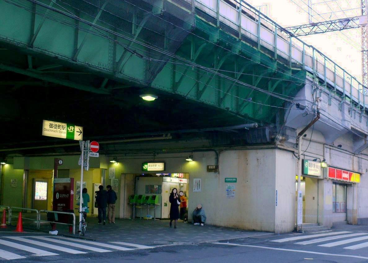
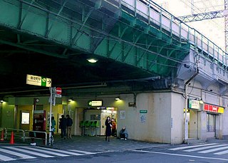
English: East Japan Railway Okachimachi Station South-exit(Japan,Tokyo). It takes a picture of the station North entrance of JR Yamanote Line Okachimachi Station from the public road.
|
| Date | |
| Source | Own work |
| Author | まも |
| Camera location | | View this and other nearby images on: OpenStreetMap |
|---|
Licensing
[edit]
| I, the copyright holder of this work, release this work into the public domain. This applies worldwide. In some countries this may not be legally possible; if so: I grant anyone the right to use this work for any purpose, without any conditions, unless such conditions are required by law. |
File history
Click on a date/time to view the file as it appeared at that time.
| Date/Time | Thumbnail | Dimensions | User | Comment | |
|---|---|---|---|---|---|
| current | 12:41, 18 January 2011 | | 1,187 × 848 (141 KB) | まも (talk | contribs) | == {{int:filedesc}} == {{Information |Description= {{en|=East Japan Railway Okachimachi Station South-exit(Japan,Tokyo). It takes a picture of the station North entrance of JR Yamanote Line Okachimachi Station from the public r |
You cannot overwrite this file.
File usage on Commons
There are no pages that use this file.
File usage on other wikis
The following other wikis use this file: