File:Oklahoma State Highway 59.svg
Aller à la navigation
Aller à la recherche

Taille de cet aperçu PNG pour ce fichier SVG : 385 × 385 pixels. Autres résolutions : 240 × 240 pixels | 480 × 480 pixels | 768 × 768 pixels | 1 024 × 1 024 pixels | 2 048 × 2 048 pixels.
Fichier d’origine (Fichier SVG, nominalement de 385 × 385 pixels, taille : 14 kio)
Légendes
Légendes
Ajoutez en une ligne la description de ce que représente ce fichier
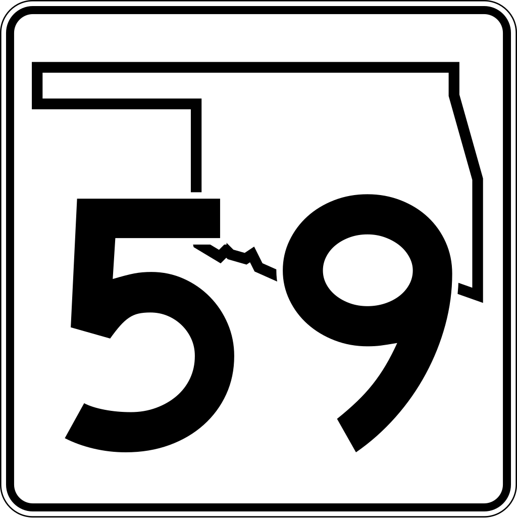
| Description | An Oklahoma State Highway 59 shield, made to the specifications of the sign detail. Uses the Roadgeek 2005 fonts. (United States law does not permit the copyrighting of typeface designs, and the fonts are meant to be copies of a U.S. Government-produced work anyway.) The outside border has a width of 1 (1/16 in) and a color of black so it shows up; in reality, signs have no outside border. | |||
| Date | 12 August 2006 | |||
| Source | Image:Oklahoma State Highway numbered road shields.svg | |||
| Auteur | SPUI | |||
| Autorisation (Réutilisation de ce fichier) |
|

Historique du fichier
Cliquer sur une date et heure pour voir le fichier tel qu'il était à ce moment-là.
| Date et heure | Vignette | Dimensions | Utilisateur | Commentaire | |
|---|---|---|---|---|---|
| actuel | 3 décembre 2006 à 21:06 | | 385 × 385 (14 kio) | Scott5114 (d | contributions) | SPUI's version |
| 24 mars 2006 à 19:30 |  | 775 × 776 (8 kio) | Scott5114 (d | contributions) | An Oklahoma State Highway 59 shield, in the 2006 design. Created by User:Scott5114 in Inkscape 0.42. Uses the [http://www.triskele.com/fonts Roadgeek 2005 Series D font] by Michael Adams. Category:Oklahoma highway shields |
Vous ne pouvez pas remplacer ce fichier.
Utilisations locales du fichier
Les 2 pages suivantes utilisent ce fichier :
Utilisations du fichier sur d’autres wikis
Les autres wikis suivants utilisent ce fichier :
- Utilisation sur en.wikipedia.org
- Pottawatomie County, Oklahoma
- McClain County, Oklahoma
- U.S. Route 60
- U.S. Route 59
- U.S. Route 270
- U.S. Route 177
- List of state highways in Oklahoma
- Oklahoma State Highway 74
- Oklahoma State Highway 24
- Oklahoma State Highway 99
- Oklahoma State Highway 3
- Oklahoma State Highway 39
- Oklahoma State Highway 133
- Oklahoma State Highway 59
- Wanette–Byars Bridge
- Oklahoma State Highway 56
- List of highways numbered 59
- Wikipedia:WikiProject U.S. Roads/Redirects/Oklahoma
- Interstate 35 in Oklahoma
- U.S. Route 77 in Oklahoma
- Wikipedia:WikiProject U.S. Roads/Oklahoma/Checklist
- U.S. Route 59 in Oklahoma
- U.S. Route 60 in Oklahoma
- Wikipedia:WikiProject U.S. Roads/Oklahoma/Status
- Utilisation sur fr.wikipedia.org
- Utilisation sur zh-min-nan.wikipedia.org