File:Old Mamalahoa Hwy & Kawainui Stream, Pepeekeo (504212) (23148989272).jpg
Jump to navigation
Jump to search

Size of this preview: 800 × 534 pixels. Other resolutions: 320 × 213 pixels | 640 × 427 pixels | 1,024 × 683 pixels | 1,280 × 854 pixels | 2,560 × 1,708 pixels | 5,210 × 3,476 pixels.
Original file (5,210 × 3,476 pixels, file size: 7.78 MB, MIME type: image/jpeg)
Captions
Captions
Add a one-line explanation of what this file represents
Summary[edit]
_(23148989272).jpg&action=edit§ion=1)
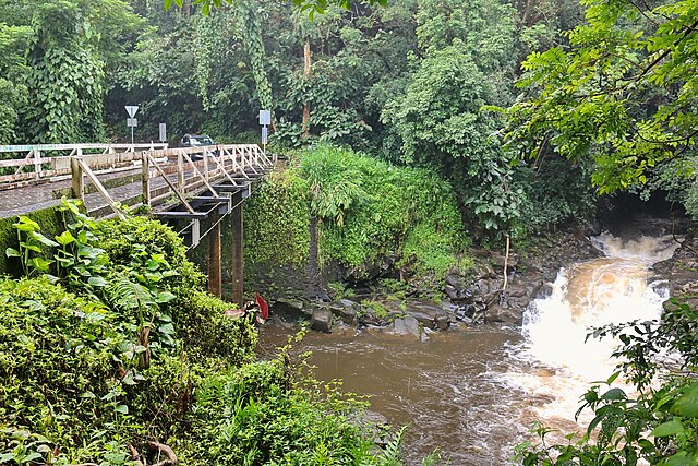
| Description | Old Mamalahoa Hwy & Kawainui Stream, Pepeekeo, Big Island, Hawaii, United States |
| Date | |
| Source | Old Mamalahoa Hwy & Kawainui Stream, Pepeekeo (504212) |
| Author | Robert Linsdell from St. Andrews, Canada |
| Camera location | | View this and other nearby images on: OpenStreetMap |
|---|
_(23148989272).jpg¶ms=019.820290_N_-155.094679_E_globe:Earth_type:camera_source:Flickr_&language=en)
Licensing[edit]
_(23148989272).jpg&action=edit§ion=2)
This file is licensed under the Creative Commons Attribution 2.0 Generic license.
- You are free:
- to share – to copy, distribute and transmit the work
- to remix – to adapt the work
- Under the following conditions:
- attribution – You must give appropriate credit, provide a link to the license, and indicate if changes were made. You may do so in any reasonable manner, but not in any way that suggests the licensor endorses you or your use.
| This image was originally posted to Flickr by Bob Linsdell at https://flickr.com/photos/92487715@N03/23148989272 (archive). It was reviewed on 5 May 2018 by FlickreviewR 2 and was confirmed to be licensed under the terms of the cc-by-2.0. |
File history
Click on a date/time to view the file as it appeared at that time.
| Date/Time | Thumbnail | Dimensions | User | Comment | |
|---|---|---|---|---|---|
| current | 16:57, 5 May 2018 | | 5,210 × 3,476 (7.78 MB) | OceanAtoll (talk | contribs) | Transferred from Flickr via #flickr2commons |
You cannot overwrite this file.
File usage on Commons
The following 2 pages use this file:
File usage on other wikis
The following other wikis use this file:
- Usage on ca.wikipedia.org
- Usage on ceb.wikipedia.org
- Usage on ce.wikipedia.org
- Usage on es.wikipedia.org
- Usage on eu.wikipedia.org
- Usage on fr.wikipedia.org
- Usage on it.wikipedia.org
- Usage on lld.wikipedia.org
- Usage on pl.wikipedia.org
- Usage on pt.wikipedia.org
- Usage on ru.wikipedia.org
- Usage on sr.wikipedia.org
- Usage on tt.wikipedia.org
- Usage on uk.wikipedia.org
- Usage on www.wikidata.org
_(23148989272).jpg&oldid=876181637)