File:Olsztynek (gmina) location map.png
Original file (2,183 × 1,827 pixels, file size: 896 KB, MIME type: image/png)
Captions
Captions
Summary[edit]
_location_map.png&action=edit§ion=1)
| Description |
English: Location map |
| Date | |
| Source | Own work |
| Author | Smat |
| Description |
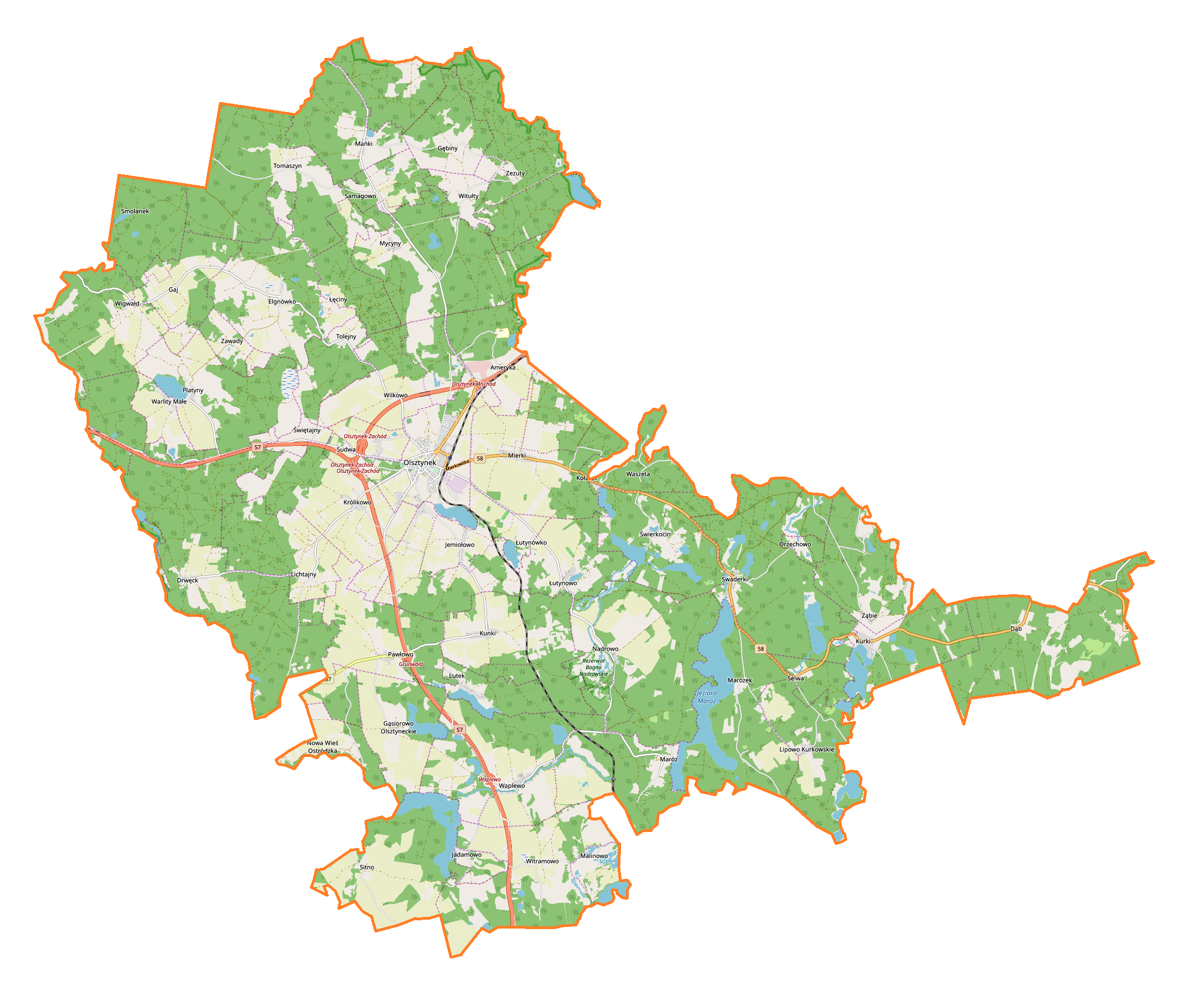
Polski: Mapa gminy Olsztynek, Polska
English: Map of Olsztynek (gmina), Poland |
|||||||||
| Date | ||||||||||
| Source | You may find a page on the OpenStreetMap wiki page for Olsztynek (gmina) | |||||||||
| Creator |
OpenStreetMap contributors OpenStreetMap contributors |
|||||||||
| Permission (Reusing this file) |
OpenStreetMap data is available under the Open Database License (details). Map tiles are licensed under the Creative Commons Attribution-ShareAlike 2.0 license (CC-BY-SA 2.0).
This file is licensed under the Creative Commons Attribution-Share Alike 2.0 Generic license.
|
|||||||||
| Geotemporal data | ||||||||||
| Bounding box |
|
|||||||||
| Georeferencing | If inappropriate please set warp_status = skip to hide. | |||||||||
Licensing[edit]
_location_map.png&action=edit§ion=2)
| This work contains information from OpenStreetMap, which is made available under the Open Database License (ODbL).
The ODbL does not require any particular license for maps produced from ODbL data. Prior to 1 August 2020, map tiles produced by the OpenStreetMap Foundation were licensed under the CC-BY-SA-2.0 license. Maps produced by other people may be subject to other licences. |
File history
Click on a date/time to view the file as it appeared at that time.
| Date/Time | Thumbnail | Dimensions | User | Comment | |
|---|---|---|---|---|---|
| current | 13:18, 8 May 2019 | | 2,183 × 1,827 (896 KB) | Smat (talk | contribs) | User created page with UploadWizard |
You cannot overwrite this file.
File usage on Commons
There are no pages that use this file.
File usage on other wikis
The following other wikis use this file:
- Usage on de.wikipedia.org
- Usage on pl.wikipedia.org
- Olsztynek
- Drwęck
- Dąb (powiat olsztyński)
- Elgnówko
- Gąsiorowo Olsztyneckie
- Jemiołowo
- Lipowo Kurkowskie
- Łęciny
- Łutynowo
- Makruty
- Maróz
- Mańki
- Mierki
- Mycyny
- Nadrowo
- Nowa Wieś Ostródzka
- Platyny
- Samagowo
- Sudwa
- Swaderki
- Tolejny
- Tomaszyn
- Warlity Małe
- Wigwałd
- Witramowo
- Witułty
- Ząbie
- Zezuty
- Ameryka (województwo warmińsko-mazurskie)
- Królikowo (województwo warmińsko-mazurskie)
- Kunki (województwo warmińsko-mazurskie)
- Sitno (województwo warmińsko-mazurskie)
- Świerkocin (województwo warmińsko-mazurskie)
- Czerwona Woda (powiat olsztyński)
- Gaj (powiat olsztyński)
- Kurki (powiat olsztyński)
- Lichtajny (powiat olsztyński)
- Pawłowo (powiat olsztyński)
- Waplewo (wieś w powiecie olsztyńskim)
- Wilkowo (powiat olsztyński)
- Zawady (powiat olsztyński)
- Gębiny
- Lutek
- Łutynówko
- Marózek
- Orzechowo (gmina Olsztynek)
- Selwa (województwo warmińsko-mazurskie)
- Świętajny
- Mauzoleum Hindenburga
View more global usage of this file.
_location_map.png)
_location_map.png&oldid=704002754)