File:Originalkarte von Usambara.png
Jump to navigation
Jump to search

Size of this preview: 704 × 600 pixels. Other resolutions: 282 × 240 pixels | 564 × 480 pixels | 902 × 768 pixels | 1,203 × 1,024 pixels | 2,405 × 2,048 pixels | 3,921 × 3,339 pixels.
Original file (3,921 × 3,339 pixels, file size: 19.28 MB, MIME type: image/png)
Captions
Captions
Add a one-line explanation of what this file represents
Summary
[edit]
| Description |
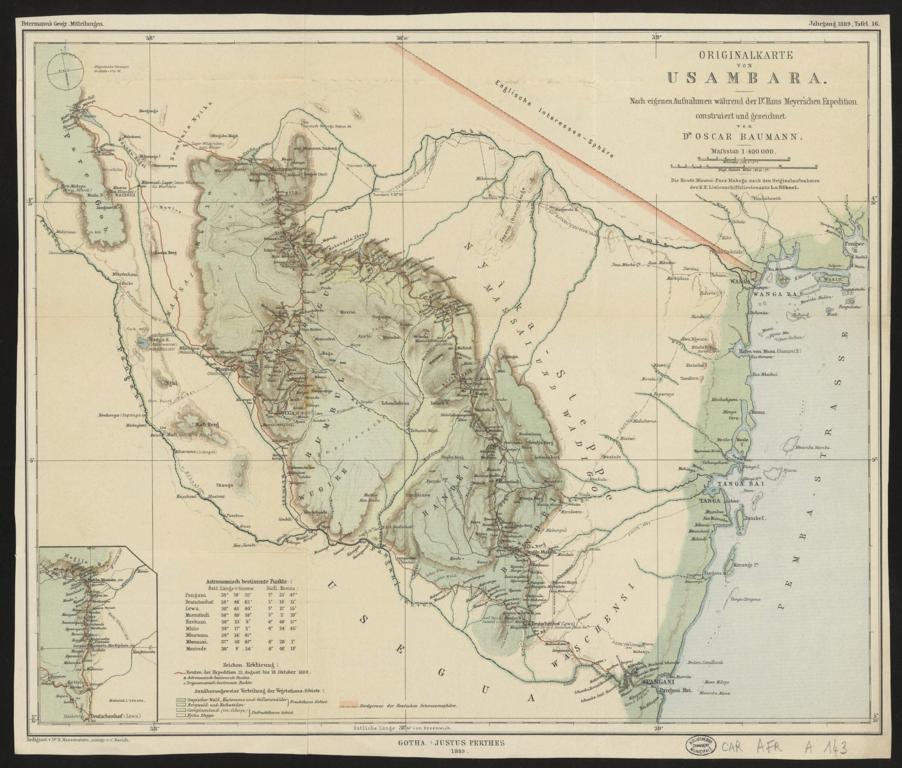
Deutsch: Originalkarte von Usambara. Nach eigenen Aufnahmen während der Dr Hans Meyer'schen Expedition / construiert und gezeichnet von Dr Oscar Baumann; die Route Maurui-Pare Maboga nach den Originalaufnahmen des K. K. Liniensch |
| Date | |
| Source | Petermanns Geographische Mitteilungen, Jahrgang 1889, Tafel 16. Bibliothèques municipales de Chambéry |
| Author | Oscar Baumann (1864-1899) |
Licensing
[edit]
The author died in 1899, so this work is in the public domain in its country of origin and other countries and areas where the copyright term is the author's life plus 100 years or fewer. | |
| This file has been identified as being free of known restrictions under copyright law, including all related and neighboring rights. | |
File history
Click on a date/time to view the file as it appeared at that time.
| Date/Time | Thumbnail | Dimensions | User | Comment | |
|---|---|---|---|---|---|
| current | 08:48, 12 February 2022 | | 3,921 × 3,339 (19.28 MB) | Kristián Czerny (talk | contribs) | Uploaded a work by Bruno Hassenstein (1839-1902) from Petermanns Geographische Mitteilungen, Jahrgang 1888, Tafel 12. [https://bibliotheque-numerique.chambery.fr/idurl/1/24683 Bibliothèques municipales de Chambéry] with UploadWizard |
You cannot overwrite this file.
File usage on Commons
There are no pages that use this file.