File:Ortsteile Werther (Westf.) - Häger.svg
Jump to navigation
Jump to search

Size of this PNG preview of this SVG file: 589 × 569 pixels. Other resolutions: 248 × 240 pixels | 497 × 480 pixels | 795 × 768 pixels | 1,060 × 1,024 pixels | 2,120 × 2,048 pixels.
Original file (SVG file, nominally 589 × 569 pixels, file size: 104 KB)
Captions
Captions
Add a one-line explanation of what this file represents
Summary
[edit]_-_H%C3%A4ger.svg&action=edit§ion=1)
| Description | |||
| Date | |||
| Source | Based on Admin Werther Westfalen GT.svg | ||
| Author | Hagar66 | ||
| Permission (Reusing this file) |
|
File history
Click on a date/time to view the file as it appeared at that time.
| Date/Time | Thumbnail | Dimensions | User | Comment | |
|---|---|---|---|---|---|
| current | 07:52, 21 October 2009 | | 589 × 569 (104 KB) | Hagar66 (talk | contribs) | {{Information |Description= |Source= |Date= |Author= |Permission= |other_versions= }} |
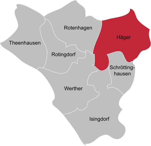
| 09:21, 10 February 2009 |  | 589 × 569 (39 KB) | Hagar66 (talk | contribs) | == Beschreibung == {{Information |Description= {{en|Segmentation of Werther (Westf.), location of Häger}} {{de|Gliederung von Werther (Westf.), Lage von [[:de:Häger (Werther)|Hä |
You cannot overwrite this file.
File usage on Commons
The following page uses this file:
File usage on other wikis
The following other wikis use this file:
- Usage on de.wikipedia.org
- Usage on www.wikidata.org
_-_Häger.svg&oldid=612708889)