File:Ostrava location map.png
Jump to navigation
Jump to search

Size of this preview: 571 × 600 pixels. Other resolutions: 228 × 240 pixels | 457 × 480 pixels | 815 × 856 pixels.
Original file (815 × 856 pixels, file size: 870 KB, MIME type: image/png)
Captions
Captions
Add a one-line explanation of what this file represents
Summary
[edit]
| Description |
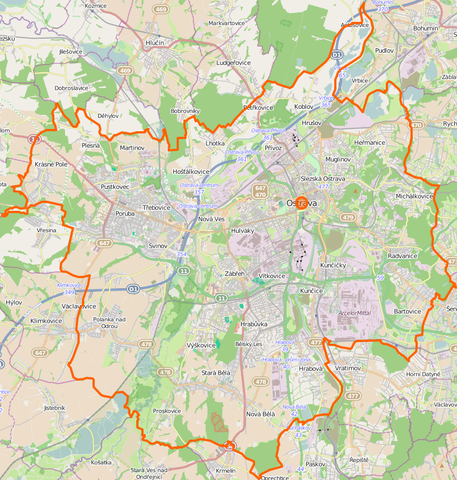
Location map of Ostrava, Czech Republic This map of Lędziny was created from OpenStreetMap project data, collected by the community. This map may be incomplete, and may contain errors. Don't rely solely on it for navigation. |
|||||||||
| Date | (see file history) | |||||||||
| Source | You may find a page on the OpenStreetMap wiki page for Lędziny | |||||||||
| Creator |
OpenStreetMap contributors OpenStreetMap contributors |
|||||||||
| Permission (Reusing this file) |
OpenStreetMap data is available under the Open Database License (details). Standard style map tiles are licensed as ODbL Produced Works.
|
|||||||||
| Geotemporal data | ||||||||||
| Bounding box |
|
|||||||||
| Georeferencing | If inappropriate please set warp_status = skip to hide. | |||||||||
File history
Click on a date/time to view the file as it appeared at that time.
| Date/Time | Thumbnail | Dimensions | User | Comment | |
|---|---|---|---|---|---|
| current | 21:03, 13 November 2014 | | 815 × 856 (870 KB) | D T G (talk | contribs) | User created page with UploadWizard |
You cannot overwrite this file.
File usage on Commons
There are no pages that use this file.
File usage on other wikis
The following other wikis use this file:
- Usage on cs.wikipedia.org
- Usage on fr.wikipedia.org
- Usage on ja.wikipedia.org
- Usage on lv.wikipedia.org
- Usage on pl.wikipedia.org
- Stadion Bazaly
- Morawska Ostrawa
- Uniwersytet Ostrawski
- OKD (przedsiębiorstwo)
- Zamek w Śląskiej Ostrawie
- Park miniatur Miniuni w Ostrawie
- Ostrava hlavní nádraží
- Ratusz w Śląskiej Ostrawie
- Stodolní
- Zoo Ostrava
- Katedra Boskiego Zbawiciela w Ostrawie
- Ostravar Aréna
- Nowy Ratusz w Ostrawie
- Ostrava-Svinov
- Willa Eduarda Lisky
- Stary Ratusz w Ostrawie
- Plac Tomasza Masaryka w Ostrawie
- Dom Książki Librex w Ostrawie
- Ostrava-Třebovice
- Ostrava-Vítkovice
- Ostrava-Bartovice
- Ostrava-Kunčice
- Bartowice
- Ostrava-Kunčičky
- Ostrava střed
- Ostrava-Stodolní
- Ostrava-Mariánské Hory
- Ostrava-Hrušov
- Koblów
- Nowa Huta (Ostrawa)
- Herzmanice
- Gruszów (Ostrawa)
- Muglinów
- Polanka nad Odrou (przystanek kolejowy)
- Kończyce Małe (Ostrawa)
- Kończyce Wielkie (Ostrawa)
- Antoszowice
- Przywóz (Ostrawa)
- Muzeum Ostrawskie
- Stadion Miejski w Ostrawie-Witkowicach
- Kościół ewangelicki w Ostrawie
- Hrabůvka (Ostrawa)
- Bělský Les
- Dubina (Ostrawa)
- Hulváky
View more global usage of this file.