File:Outline Map of Alnashsky District (Udmurtia).svg
Jump to navigation
Jump to search

Size of this PNG preview of this SVG file: 592 × 599 pixels. Other resolutions: 237 × 240 pixels | 474 × 480 pixels | 759 × 768 pixels | 1,012 × 1,024 pixels | 2,023 × 2,048 pixels | 1,713 × 1,734 pixels.
Original file (SVG file, nominally 1,713 × 1,734 pixels, file size: 42 KB)
Captions
Captions
Add a one-line explanation of what this file represents
Summary
[edit].svg&action=edit§ion=1)
| Description |
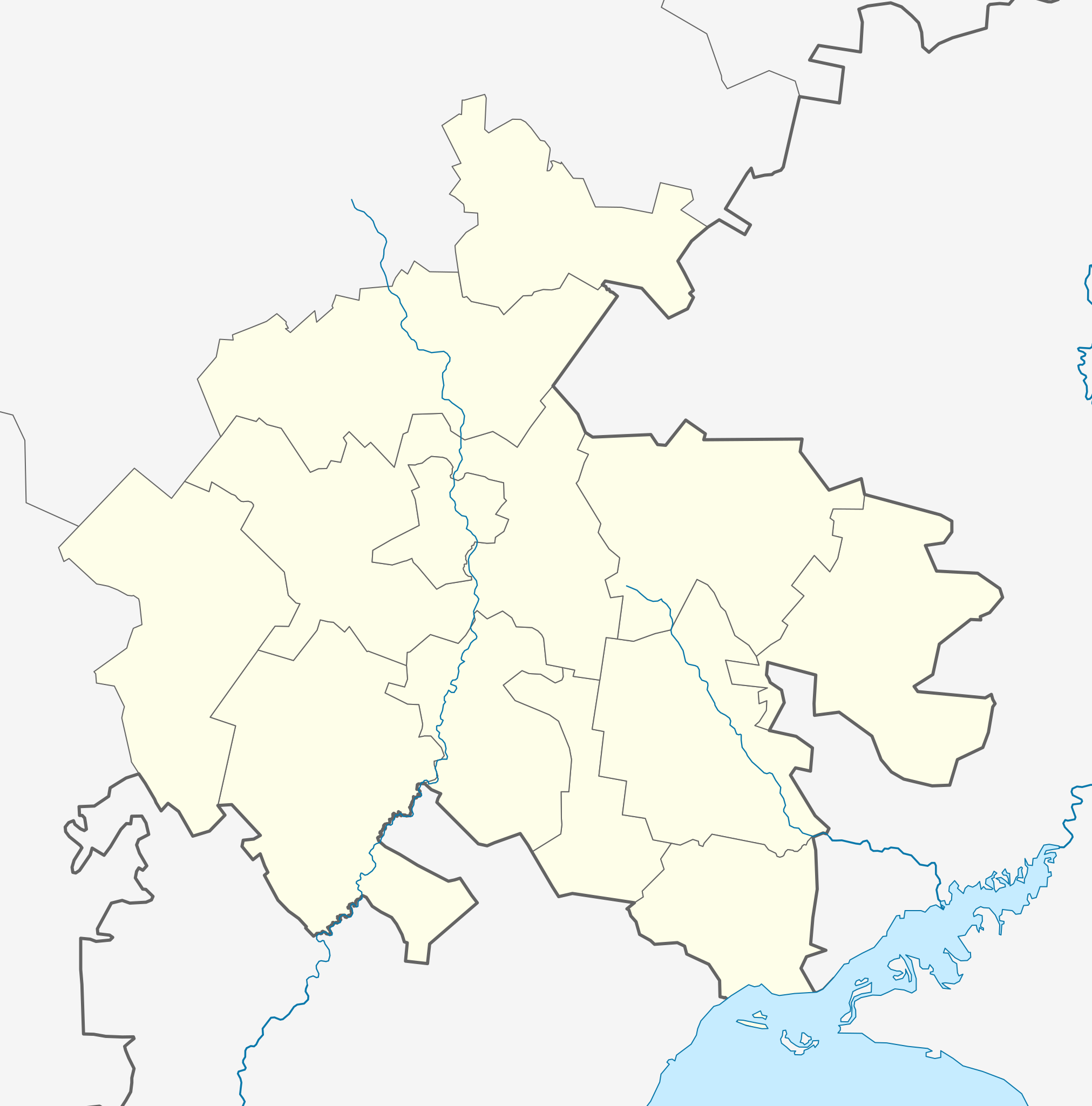
Русский: Позиционная карта Алнашского района Удмуртии
Равноугольная проекция, растяжение — 180 %. Координаты краёв:
This W3C-unspecified vector image was created with Inkscape . |
| Date | |
| Source |
Own work
|
| Author | Виктор В |
Licensing
[edit].svg&action=edit§ion=2)
| I, the copyright holder of this work, release this work into the public domain. This applies worldwide. In some countries this may not be legally possible; if so: I grant anyone the right to use this work for any purpose, without any conditions, unless such conditions are required by law. |
File history
Click on a date/time to view the file as it appeared at that time.
| Date/Time | Thumbnail | Dimensions | User | Comment | |
|---|---|---|---|---|---|
| current | 15:41, 3 August 2010 | | 1,713 × 1,734 (42 KB) | Виктор В (talk | contribs) | переделал структуру файла |
| 18:19, 14 April 2010 |  | 1,713 × 1,734 (31 KB) | Виктор В (talk | contribs) | == {{int:filedesc}} == {{Information |Description={{ru|1=Позиционная карта Алнашского района Удмуртии<br>Равноугольная проекция, растяжение — 180 %. Координаты краёв: |
You cannot overwrite this file.
File usage on Commons
There are no pages that use this file.
File usage on other wikis
The following other wikis use this file:
- Usage on fr.wikipedia.org
- Usage on ru.wikipedia.org
- Алнаши
- Варзи-Ятчи
- Шаблон:ПозКарта Россия Удмуртия Алнашский район
- Азаматово (Удмуртия)
- Вязовка (Удмуртия)
- Выль Шудья
- Ключёвка (Алнашский район)
- Кузюмово
- Медведка (Удмуртия)
- Сосновка (Алнашский район)
- Холодный Ключ (Алнашский район)
- Чемошур-Куюк
- Шайтаново
- Нижнее Асаново
- Арляново (Алнашский район)
- Кучеряново
- Татарское Кизеково
- Удмуртское Кизеково
- Байтеряково (Удмуртия)
- Дружки
- Елкибаево (Удмуртия)
- Верхнее Котнырево
- Пирогово (Алнашский район)
- Нижнее Котнырево
- Кадиково
- Русский Ятцаз
- Удмуртский Ятцаз
- Старая Юмья
- Ятцазшур
- Арбайка
- Ляли (Удмуртия)
- Русский Вишур
- Шадрасак Кибья
- Юмьяшур
- Варзибаш
- Варзино-Алексеево
- Гарга (Удмуртия)
- Верхнее Кузебаево
- Кузебаево (Алнашский район)
- Муважи
- Благодать (Удмуртия)
- Петропавловский (Алнашский район)
- Чёрный Ключ (Алнашский район)
- Чумали (Удмуртия)
- Писеево
- Нижний Сырьез
- Оркино (Удмуртия)
- Абышево (Удмуртия)
- Варзи-Шудья
View more global usage of this file.
.svg)
.svg&oldid=497019790)