File:Outline Map of Far Eastern Federal District.svg
跳转到导航
跳转到搜索

此SVG文件的PNG预览的大小:696 × 600像素。 其他分辨率:279 × 240像素 | 557 × 480像素 | 891 × 768像素 | 1,188 × 1,024像素 | 2,376 × 2,048像素 | 1,000 × 862像素。
原始文件 (SVG文件,尺寸为1,000 × 862像素,文件大小:2.35 MB)
说明
说明
添加一行文字以描述该文件所表现的内容
摘要[编辑]
| 描述 |
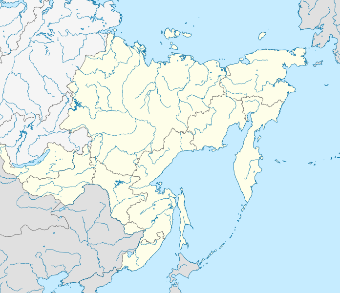
Русский: Позиционная карта Дальневосточного федерального округа
x = {{#expr: 50 + 143.2394488 * (1.623081485 - ({{{2}}}*pi / 180)) * sin(0.864926629 * ({{{1}}} - 140) * pi / 180) * 0.862}}
y = {{#expr: 50 - 143.2394488 * (0.575883933 - (1.623081485 - ({{{2}}}*pi / 180)) * cos(0.864926629 * ({{{1}}} - 140) * pi / 180))}}
|
||||||||
| 日期 | |||||||||
| 来源 |
自己的作品
|
||||||||
| 作者 | |||||||||
| 其他版本 |
[]
|


许可协议[编辑]
| 我,本作品著作权人,释出本作品至公有领域。这适用于全世界。 在一些国家这可能不合法;如果是这样的话,那么: 我无条件地授予任何人以任何目的使用本作品的权利,除非这些条件是法律规定所必需的。 |
文件历史
点击某个日期/时间查看对应时刻的文件。
| 日期/时间 | 缩略图 | 大小 | 用户 | 备注 | |
|---|---|---|---|---|---|
| 当前 | 2019年2月9日 (六) 19:05 | | 1,000 × 862(2.35 MB) | Brateevsky(留言 | 贡献) | Забайкальский край + Бурятия |
| 2010年10月16日 (六) 14:30 |  | 1,000 × 862(2.35 MB) | Виктор В(留言 | 贡献) | == {{int:filedesc}} == {{Information |Description={{ru|1=Позиционная карта Дальневосточного федерального округа * Проекция — коническая равнопромежуточная. ** перв |
您不可以覆盖此文件。
文件用途
以下18个页面使用本文件:
- File:Outline Map of Central Russia.svg
- File:Outline Map of Far Eastern Federal District.svg
- File:Outline Map of North Caucasian Federal District.svg
- File:Outline Map of Northwestern Federal District.svg
- File:Outline Map of Southern Federal District.svg
- File:Outline Map of Volga Federal District.svg
- File:Outline map of Urals Federal District.svg
- File:Relief Map of Central Russia.png
- File:Relief Map of Far Eastern Federal District.jpg
- File:Relief Map of North Caucasian Federal District.jpg
- File:Relief Map of North Caucasian Federal District.svg
- File:Relief Map of Northwestern Federal District.jpg
- File:Relief Map of Southern Federal District.jpg
- File:Relief Map of Southern Federal District.svg
- File:Relief Map of Volga Federal District.jpg
- File:Relief map of Urals Federal District.jpg
- File:Relief map of Urals Federal District.svg
- Template:Other versions/Federal Districts of Russia
全域文件用途
以下其他wiki使用此文件:
- ar.wikipedia.org上的用途
- az.wikipedia.org上的用途
- ba.wikipedia.org上的用途
- be.wikipedia.org上的用途
- bg.wikipedia.org上的用途
- bxr.wikipedia.org上的用途
- ceb.wikipedia.org上的用途
- ce.wikipedia.org上的用途
- cs.wikipedia.org上的用途
- da.wikipedia.org上的用途
- de.wikipedia.org上的用途
- en.wikipedia.org上的用途
- Federal districts of Russia
- Far Eastern Federal District
- Ukkurey (air base)
- Khada Bulak
- 1993 Russian Top League
- Module:Location map/data/Russia Far Eastern Federal District/doc
- Yeniseysk-15
- Talk:Sinking of Dalniy Vostok
- List of earthquakes in Russia
- Module:Location map/data/Russia Far Eastern Federal District
- 2014 Winter Paralympics torch relay
- Schmidt Peninsula (Sakhalin)
- Olyutor Peninsula
- Tofalariya
- eo.wikipedia.org上的用途
查看本文件的更多全域用途。