File:Outline Map of Volotovsky District (Novgorod Oblast).svg
Jump to navigation
Jump to search

Size of this PNG preview of this SVG file: 425 × 600 pixels. Other resolutions: 170 × 240 pixels | 340 × 480 pixels | 544 × 768 pixels | 725 × 1,024 pixels | 1,451 × 2,048 pixels.
Original file (SVG file, nominally 425 × 600 pixels, file size: 14 KB)
Captions
Captions
Add a one-line explanation of what this file represents
Summary[edit]
.svg&action=edit§ion=1)
| Description |
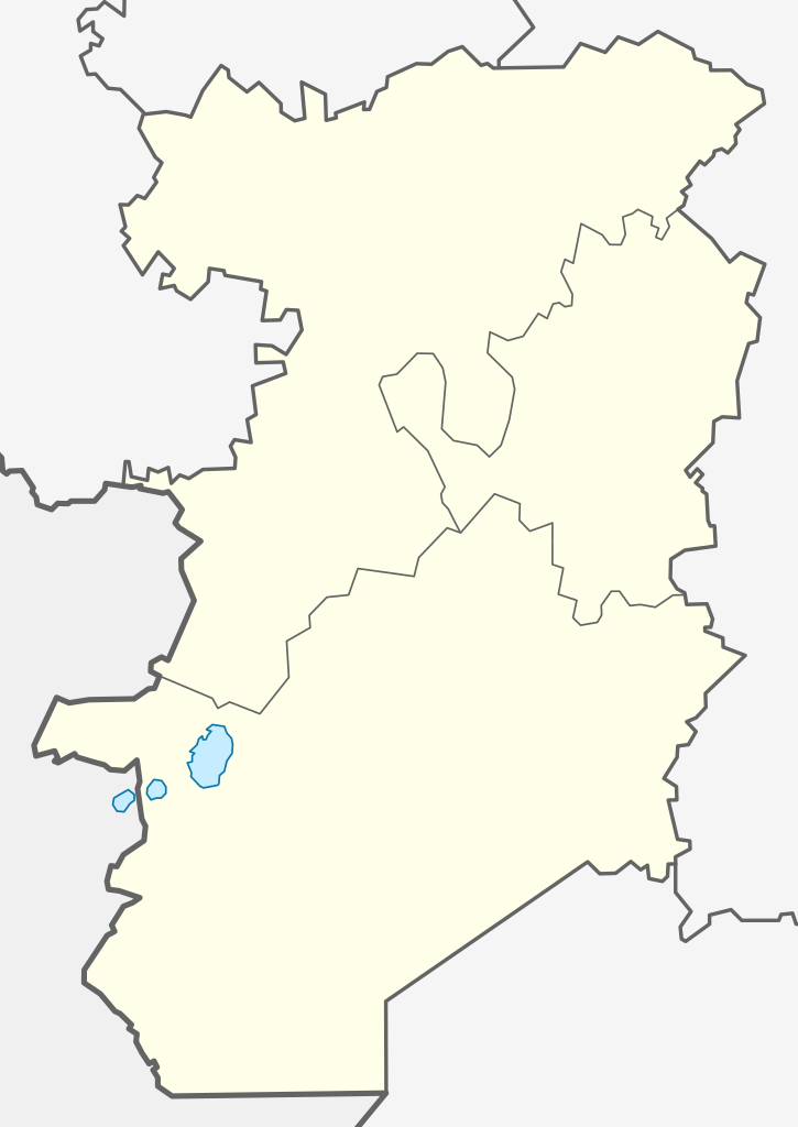
Русский: Позиционная карта Волотовского района Новгородской области |
| Date | |
| Source | Own work |
| Author | Loginname |
Licensing[edit]
.svg&action=edit§ion=2)
I, the copyright holder of this work, hereby publish it under the following license:
This file is licensed under the Creative Commons Attribution-Share Alike 3.0 Unported license.
- You are free:
- to share – to copy, distribute and transmit the work
- to remix – to adapt the work
- Under the following conditions:
- attribution – You must give appropriate credit, provide a link to the license, and indicate if changes were made. You may do so in any reasonable manner, but not in any way that suggests the licensor endorses you or your use.
- share alike – If you remix, transform, or build upon the material, you must distribute your contributions under the same or compatible license as the original.
File history
Click on a date/time to view the file as it appeared at that time.
| Date/Time | Thumbnail | Dimensions | User | Comment | |
|---|---|---|---|---|---|
| current | 18:35, 16 November 2012 | | 425 × 600 (14 KB) | Loginname (talk | contribs) | |
| 21:41, 18 September 2011 |  | 425 × 600 (13 KB) | Loginname (talk | contribs) |
You cannot overwrite this file.
File usage on Commons
There are no pages that use this file.
File usage on other wikis
The following other wikis use this file:
- Usage on fi.wikipedia.org
- Usage on ru.wikipedia.org
- Волотовский район
- Волот (посёлок)
- Горки Ратицкие
- Взгляды (Новгородская область)
- Городцы (Новгородская область)
- Порожки (Волотовский район)
- Шаблон:ПозКарта Россия Новгородская область Волотовский район
- Славитино (Новгородская область)
- Раглицы (Волотовский район)
- Камень (Новгородская область)
- Подостровье
- Восход (Новгородская область)
- Верёхново
- Остров (Волотовский район)
- Кознобицы
- Веретье (Волотовский район)
- Горки (сельское поселение Волот)
- Жуково-Дуброво
- Зеремо
- Кашенка (деревня)
- Кисляково (Новгородская область)
- Клинково (Волотовский район)
- Колесницы (Новгородская область)
- Личино
- Лоша (Новгородская область)
- Междуречье (Волотовский район)
- Микшицы
- Михалково (Новгородская область)
- Осиновка (Волотовский район)
- Пескова (деревня)
- Погорелец (Новгородская область)
- Подсосонье (Волотовский район)
- Соломенка (Новгородская область)
- Станишино (Новгородская область)
- Точка (Новгородская область)
- Уницы (Новгородская область)
- Бёхово
- Бозино (Новгородская область)
- Борок (Волотовский район)
- Борыни
- Волот (деревня)
- Вояжа
- Вязовня (Волотовский район)
- Гниловец (Новгородская область)
- Горицы (Новгородская область)
- Горки (Ратицкое сельское поселение)
- Горки Бухаровы
- Гумнище (Новгородская область)
View more global usage of this file.
.svg)
.svg&oldid=427188172)