File:Outline Military Map of the United States - DPLA - d28f5db4137602e82f1c05ddc1f4a19d.jpg
Jump to navigation
Jump to search

Size of this preview: 800 × 594 pixels. Other resolutions: 320 × 238 pixels | 640 × 475 pixels | 1,024 × 761 pixels | 1,280 × 951 pixels | 2,560 × 1,902 pixels | 12,868 × 9,560 pixels.
Original file (12,868 × 9,560 pixels, file size: 9.54 MB, MIME type: image/jpeg)
Captions
Captions
Add a one-line explanation of what this file represents
Summary
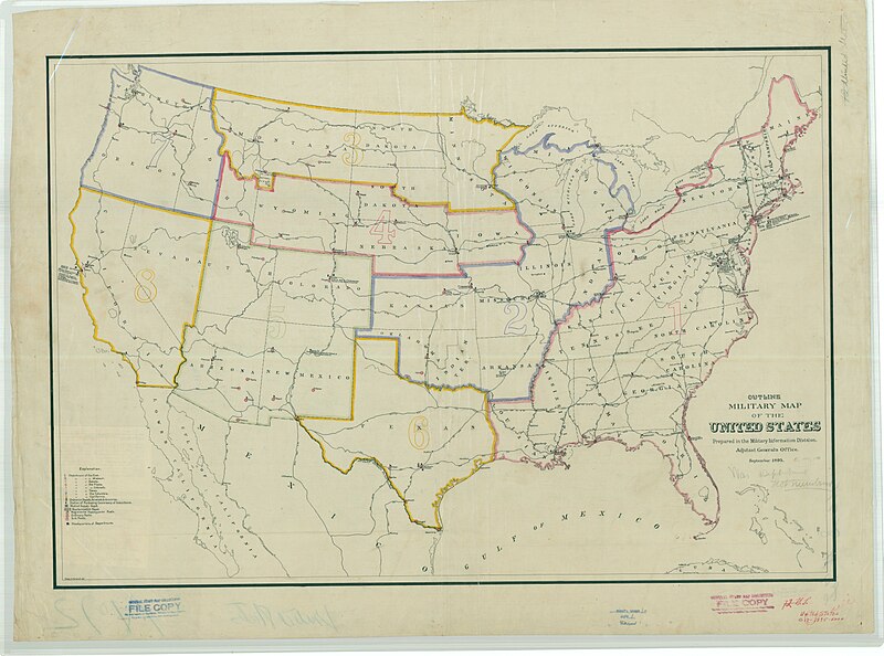
[edit]| Outline Military Map of the United States
( |
||||||||||||||
|---|---|---|---|---|---|---|---|---|---|---|---|---|---|---|
| Creator | War Department. Office of the Chief of Engineers. War Department Map Collection. 1939-1942 | |||||||||||||
| Title |
Outline Military Map of the United States |
|||||||||||||
| Description |
Identical to 72-US. |
|||||||||||||
| Date | September 1895 | |||||||||||||
| Collection |
|
|||||||||||||
| Source/Photographer |
|
|||||||||||||
| Permission (Reusing this file) |
|
|||||||||||||
| Standardized rights statement |
|
|||||||||||||


File history
Click on a date/time to view the file as it appeared at that time.
| Date/Time | Thumbnail | Dimensions | User | Comment | |
|---|---|---|---|---|---|
| current | 20:40, 8 March 2023 | | 12,868 × 9,560 (9.54 MB) | DPLA bot (talk | contribs) | Uploading DPLA ID dpla:d28f5db4137602e82f1c05ddc1f4a19d |
You cannot overwrite this file.
File usage on Commons
The following page uses this file: