File:Outline map of Turkish Empire (FL37663523 3915571).jpg
Jump to navigation
Jump to search

Size of this preview: 512 × 599 pixels. Other resolutions: 205 × 240 pixels | 410 × 480 pixels | 656 × 768 pixels | 875 × 1,024 pixels | 1,750 × 2,048 pixels | 12,188 × 14,260 pixels.
Original file (12,188 × 14,260 pixels, file size: 196.54 MB, MIME type: image/jpeg)
Captions
Captions
Add a one-line explanation of what this file represents
Summary
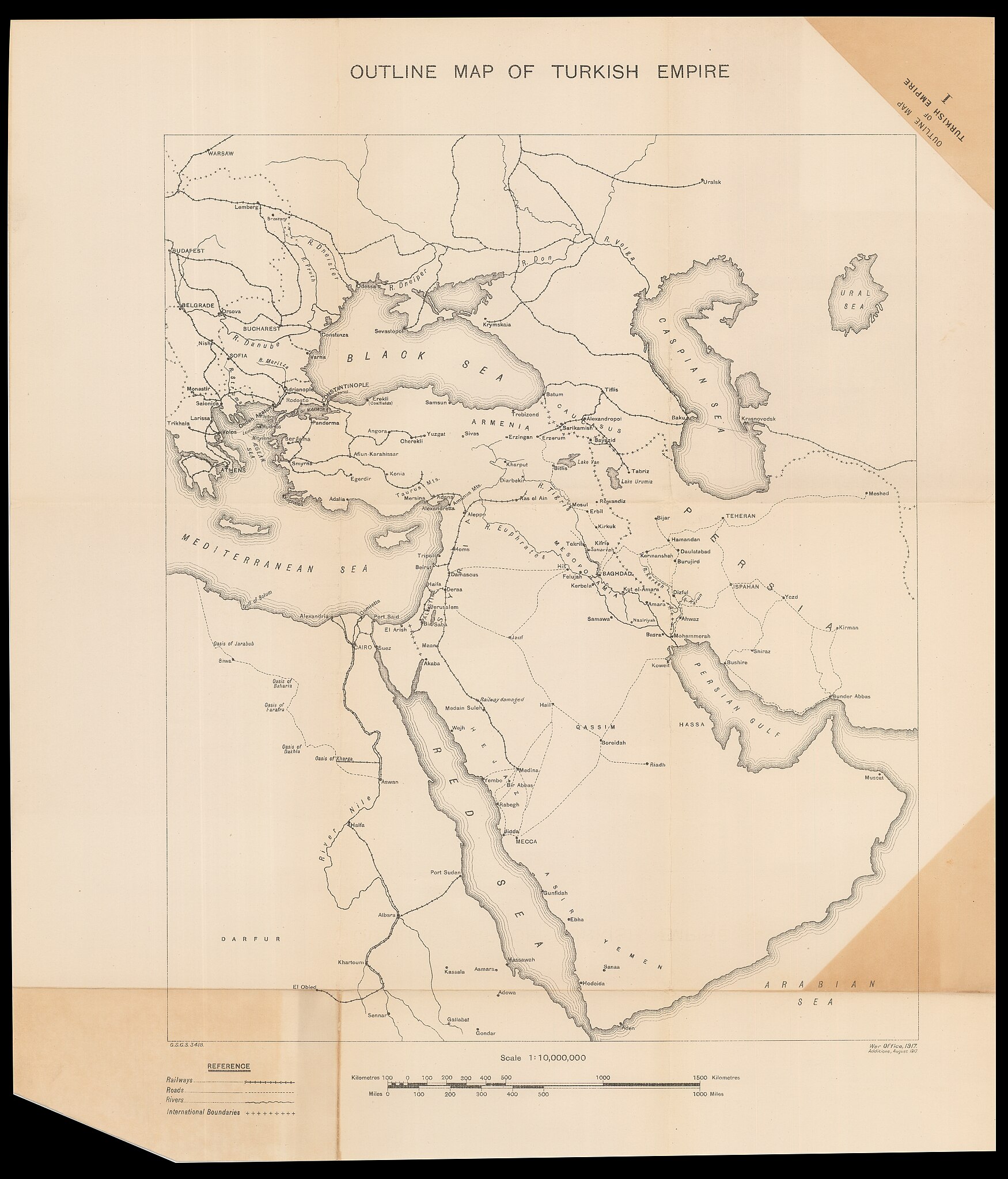
[edit]| Outline map of Turkish Empire
( |
||||||||||||||||||||||||
|---|---|---|---|---|---|---|---|---|---|---|---|---|---|---|---|---|---|---|---|---|---|---|---|---|
| Title |
Outline map of Turkish Empire |
|||||||||||||||||||||||
| Publisher |
War Office |
|||||||||||||||||||||||
| Description |
Outline map of Turkish Empire.. |
|||||||||||||||||||||||
| Language | English | |||||||||||||||||||||||
| Publication date | 1917 | |||||||||||||||||||||||
| Medium | 1 online resource (1 map). | |||||||||||||||||||||||
| Collection |
|
|||||||||||||||||||||||
| Current location |
|
|||||||||||||||||||||||
| Place of publication | unknown | |||||||||||||||||||||||
| search Merhav catalog | unknown | |||||||||||||||||||||||
| Notes | Digital image of the original in Amir Cahanovitc Collection, Israel. ACC 2075-2. | |||||||||||||||||||||||
| scale | 1:10,000,000 cm | |||||||||||||||||||||||
| IE PID | IE37663521 | |||||||||||||||||||||||
| Rosetta filename | FL37663523 | |||||||||||||||||||||||
| NNL item ID (P3959) | 990039155710205171 | |||||||||||||||||||||||
| search Merhav catalog | English | |||||||||||||||||||||||
| search Merhav catalog | War Office | |||||||||||||||||||||||
| Source/Photographer |
|
|||||||||||||||||||||||
| Other versions | ||||||||||||||||||||||||
| Jpg / Tif version |
|
|||||||||||||||||||||||

.jpg)

.jpg&action=edit§ion=1)
Licensing
[edit].jpg&action=edit§ion=2)
This work was published before January 1, 1918 and it is anonymous or pseudonymous due to unknown authorship. It is in the public domain in the United States as well as countries and areas where the copyright terms of anonymous or pseudonymous works are 106 years or fewer since publication.
|
File history
Click on a date/time to view the file as it appeared at that time.
| Date/Time | Thumbnail | Dimensions | User | Comment | |
|---|---|---|---|---|---|
| current | 16:38, 10 August 2023 | | 12,188 × 14,260 (196.54 MB) | Geagea (talk | contribs) | pattypan 22.03 |
You cannot overwrite this file.
File usage on Commons
The following 2 pages use this file:
.jpg&oldid=791964368)