File:PM mapa.png
Jump to navigation
Jump to search

Size of this preview: 626 × 600 pixels. Other resolutions: 250 × 240 pixels | 501 × 480 pixels | 647 × 620 pixels.
Original file (647 × 620 pixels, file size: 38 KB, MIME type: image/png)
Captions
Captions
Add a one-line explanation of what this file represents
Summary[edit]
| Description |
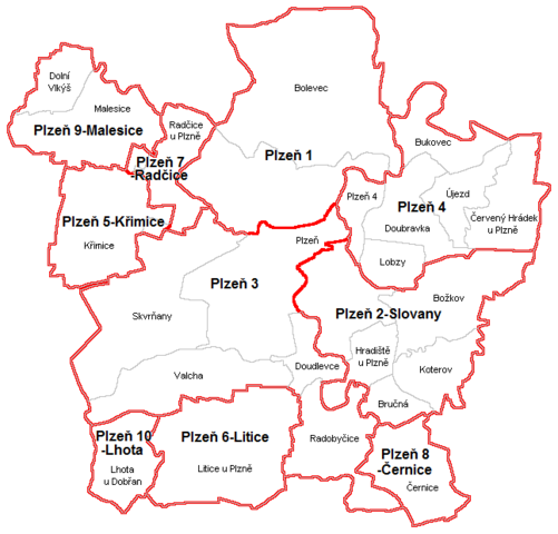
English: Map of municipal districts and cadastral areas of Plzeň Čeština: Mapka městských obvodů a katastrálních území Plzně |
| Date | |
| Source | Own work. Vytvořeno podle vzoru městských částí Prahy a Brna |
| Author | Hustoles |
Licensing[edit]
| I, the copyright holder of this work, release this work into the public domain. This applies worldwide. In some countries this may not be legally possible; if so: I grant anyone the right to use this work for any purpose, without any conditions, unless such conditions are required by law. |
File history
Click on a date/time to view the file as it appeared at that time.
| Date/Time | Thumbnail | Dimensions | User | Comment | |
|---|---|---|---|---|---|
| current | 16:40, 16 May 2014 | | 647 × 620 (38 KB) | Valdemar (talk | contribs) | Podle vzoru File:Městské části Prahy.PNG a File:Městské části Brna.PNG (šedá mapa s okolím v mapě File:Katastrální mapa Plzně.PNG). |
| 19:39, 14 April 2011 |  | 810 × 751 (58 KB) | Hustoles (talk | contribs) | {{Information |Description ={{en|1=Map of city quarters and cadastral areas of Plzeň}} {{cs|1=Mapa městských obvodů a katastrálních území Plzně}} |Source ={{own}} |Author =Hustoles |Date =14.4.2011 | |
You cannot overwrite this file.
File usage on Commons
There are no pages that use this file.
File usage on other wikis
The following other wikis use this file: