File:POLSKA powiaty (województwa).svg
Jump to navigation
Jump to search

Size of this PNG preview of this SVG file: 630 × 600 pixels. Other resolutions: 252 × 240 pixels | 504 × 480 pixels | 806 × 768 pixels | 1,075 × 1,024 pixels | 2,151 × 2,048 pixels | 1,406 × 1,339 pixels.
Original file (SVG file, nominally 1,406 × 1,339 pixels, file size: 323 KB)
Captions
Captions
Add a one-line explanation of what this file represents
Summary[edit]
.svg&action=edit§ion=1)
| Description |
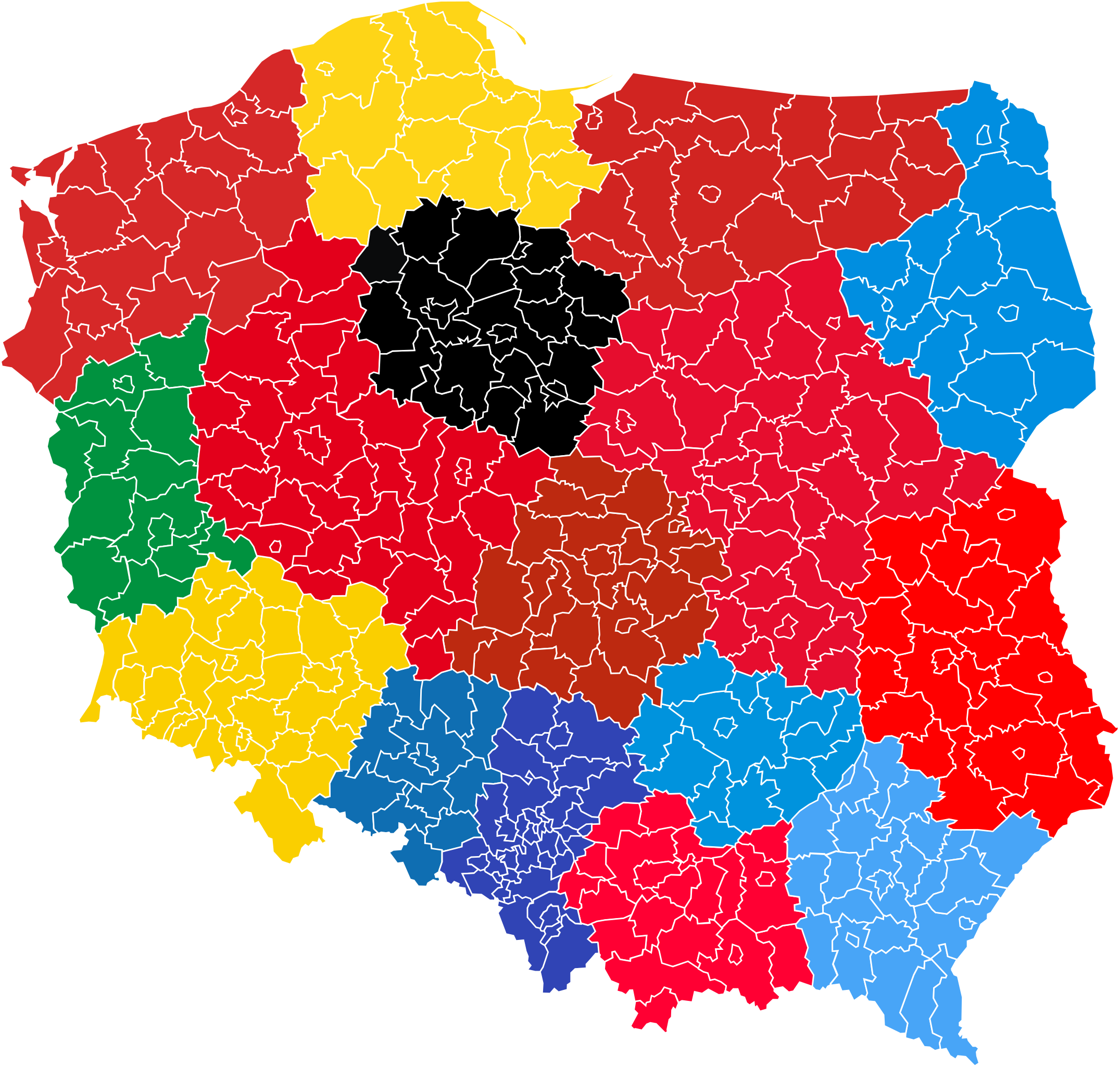
Polski: Mapa administracyjna Polski z zaznaczonymi granicami województw i powiatów, stan na 1 stycznia 2007.
Dolnośląskie
Kujawsko-Pomorskie
Lubelskie
Lubuskie
Łódźkie
Małopolskie
Mazowieckie
Opolskie
Podkarpackie
Podlaskie
Pomorskie
Śląskie
Świętokrzyskie
Warmińsko-Mazurskie
Wielkopolskie
Wachodniopomorskie |
| Date | |
| Source |
This file was derived from: POLSKA woj pow.png |
| Author | Megaemce |
Licensing[edit]
.svg&action=edit§ion=2)
I, the copyright holder of this work, hereby publish it under the following license:
This file is licensed under the Creative Commons Attribution-Share Alike 4.0 International license.
- You are free:
- to share – to copy, distribute and transmit the work
- to remix – to adapt the work
- Under the following conditions:
- attribution – You must give appropriate credit, provide a link to the license, and indicate if changes were made. You may do so in any reasonable manner, but not in any way that suggests the licensor endorses you or your use.
- share alike – If you remix, transform, or build upon the material, you must distribute your contributions under the same or compatible license as the original.
File history
Click on a date/time to view the file as it appeared at that time.
| Date/Time | Thumbnail | Dimensions | User | Comment | |
|---|---|---|---|---|---|
| current | 18:37, 11 May 2020 | | 1,406 × 1,339 (323 KB) | SpinnerLaserz (talk | contribs) | Uploaded own work with UploadWizard |
You cannot overwrite this file.
File usage on Commons
The following page uses this file:
.svg&oldid=623420822)