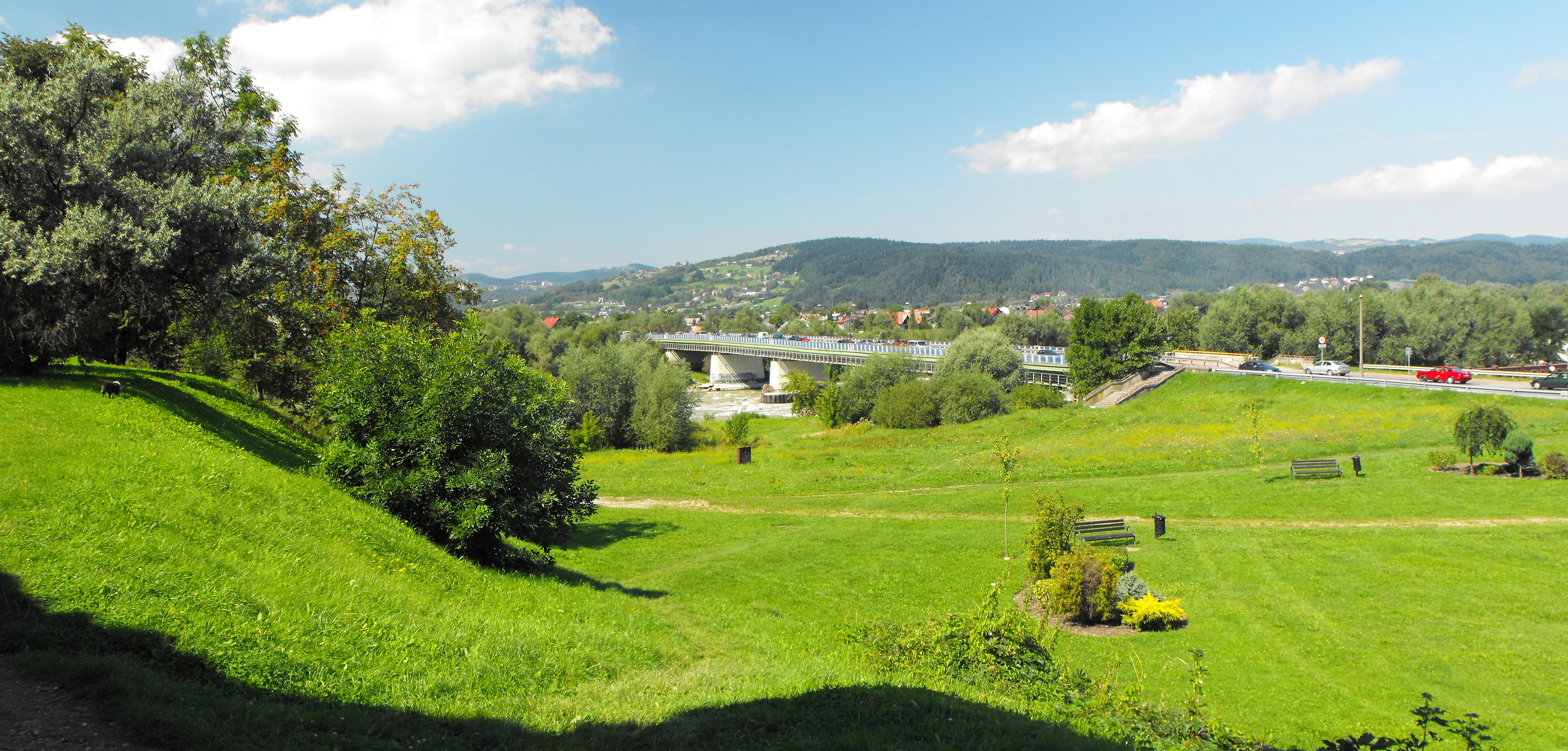
File:POL Józef Piłsudski Bridge in Nowy Sącz 'ID 20100821T120641.H1'.jpg
Jump to navigation
Jump to search
Size of this preview: 800 × 383 pixels. Other resolutions: 320 × 153 pixels | 640 × 307 pixels | 1,024 × 490 pixels | 1,280 × 613 pixels | 2,560 × 1,226 pixels | 5,602 × 2,683 pixels.
Original file (5,602 × 2,683 pixels, file size: 9 MB, MIME type: image/jpeg)
Captions
Captions
Add a one-line explanation of what this file represents
Summary
[edit]
| Description | |
| Date | (Hugin v2011.4.0 was used 2012-09-06 02:54:39) |
| Source | Own work |
| Author | |
| Permission (Reusing this file) |
This file is licensed under the Creative Commons Attribution-Share Alike 3.0 Poland license. Attribution: Karol007
 |
| Camera location | | View this and other nearby images on: OpenStreetMap |
|---|
File history
Click on a date/time to view the file as it appeared at that time.
| Date/Time | Thumbnail | Dimensions | User | Comment | |
|---|---|---|---|---|---|
| current | 15:40, 6 September 2012 | | 5,602 × 2,683 (9 MB) | Karol007 (talk | contribs) | change dimensions (New ID '20100821T120641.H1') |
| 13:57, 3 September 2012 |  | 5,602 × 2,603 (18.39 MB) | Karol007 (talk | contribs) | VicuñaUploader 1.00 |
You cannot overwrite this file.
File usage on Commons
The following page uses this file:
File usage on other wikis
The following other wikis use this file:
- Usage on pl.wikipedia.org
- Usage on www.wikidata.org