File:PS 71K Beth Rachel Satmar school 2010 jeh.jpg
Jump to navigation
Jump to search
Size of this preview: 552 × 599 pixels. Other resolutions: 221 × 240 pixels | 442 × 480 pixels | 707 × 768 pixels | 943 × 1,024 pixels | 1,886 × 2,048 pixels | 3,014 × 3,273 pixels.
Original file (3,014 × 3,273 pixels, file size: 1.87 MB, MIME type: image/jpeg)
Captions
Captions
Add a one-line explanation of what this file represents
|
This is an image of a place or building that is listed on the National Register of Historic Places in the United States of America. Its reference number is 82001181. |
Summary[edit]
| Description |
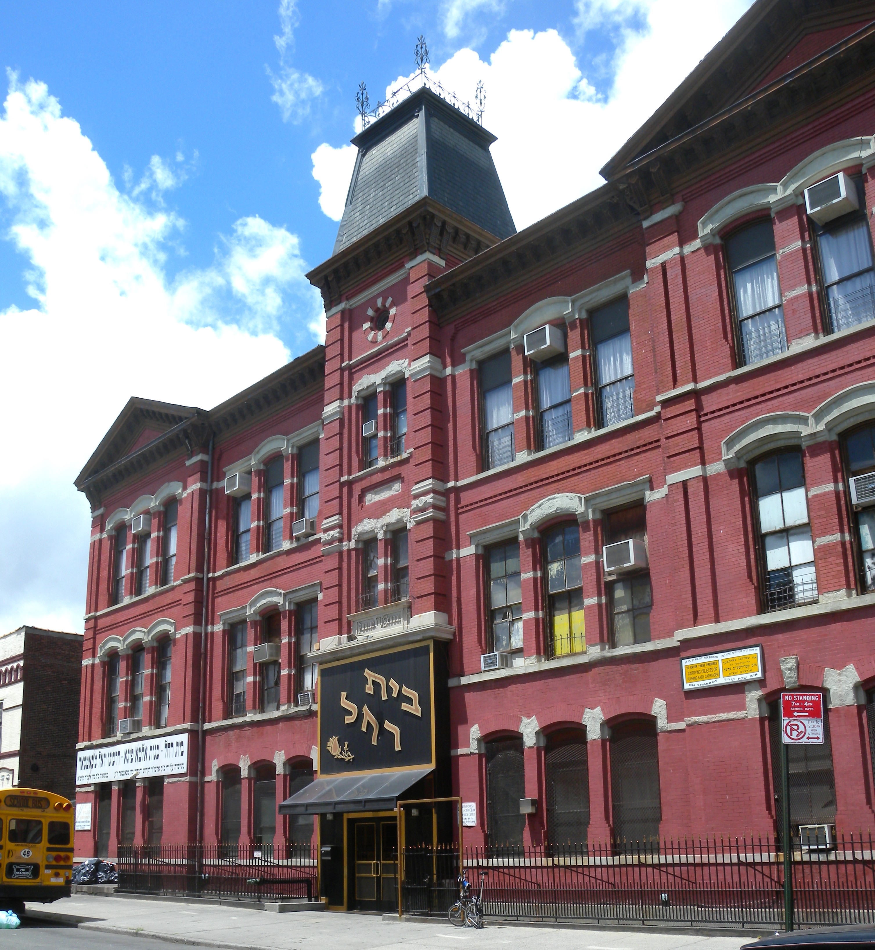
English: Looking west across Heyward Street at Beth Rachel Satmar, formerly Public School 71K, on a sunny midday.
|
||
| Date | Taken on 9 July 2010 | ||
| Source | Own work | ||
| Author | Jim.henderson |
| Camera location | | View this and other nearby images on: OpenStreetMap |
|---|
Licensing[edit]
| This file is made available under the Creative Commons CC0 1.0 Universal Public Domain Dedication. | |
| The person who associated a work with this deed has dedicated the work to the public domain by waiving all of their rights to the work worldwide under copyright law, including all related and neighboring rights, to the extent allowed by law. You can copy, modify, distribute and perform the work, even for commercial purposes, all without asking permission.
|
File history
Click on a date/time to view the file as it appeared at that time.
| Date/Time | Thumbnail | Dimensions | User | Comment | |
|---|---|---|---|---|---|
| current | 18:10, 7 September 2010 | | 3,014 × 3,273 (1.87 MB) | Jim.henderson (talk | contribs) | {{Information |Description={{en|1=Looking northwest at Beth Jacobs, formerly Public School 71K, on a sunny midday. Category:New York City Department of Education schools}} |Source={{own}} |Author=Jim.henderson |Date=2010-07-09 |
You cannot overwrite this file.
File usage on Commons
The following 2 pages use this file:
- File:PS 71K Beth Jacobs jeh.jpg (file redirect)
- File:PS 71K Beth Rachel Satmar.jpg (file redirect)
File usage on other wikis
The following other wikis use this file:
- Usage on en.wikipedia.org
- Usage on es.wikipedia.org
- Usage on fr.wikipedia.org
- Usage on www.wikidata.org
- Usage on yi.wikipedia.org
Metadata
Categories:
- New York City landmarks in Brooklyn
- Schools in Williamsburg, Brooklyn
- Schools on the National Register of Historic Places in New York City
- Private schools in New York City
- Built in New York City in 1889
- Second Empire architecture in New York City
- Judaism in Brooklyn, New York City
- Satmar (Hasidic dynasty) in the United States
- July 2010 in New York City
- Brick buildings in Brooklyn