File:Panoramique Aravis Sud-Nord.jpg
Jump to navigation
Jump to search
Size of this preview: 800 × 233 pixels. Other resolutions: 320 × 93 pixels | 640 × 186 pixels | 2,400 × 698 pixels.
Original file (2,400 × 698 pixels, file size: 1.34 MB, MIME type: image/jpeg)
Captions
Captions
Add a one-line explanation of what this file represents
Summary
[edit]
| Description |
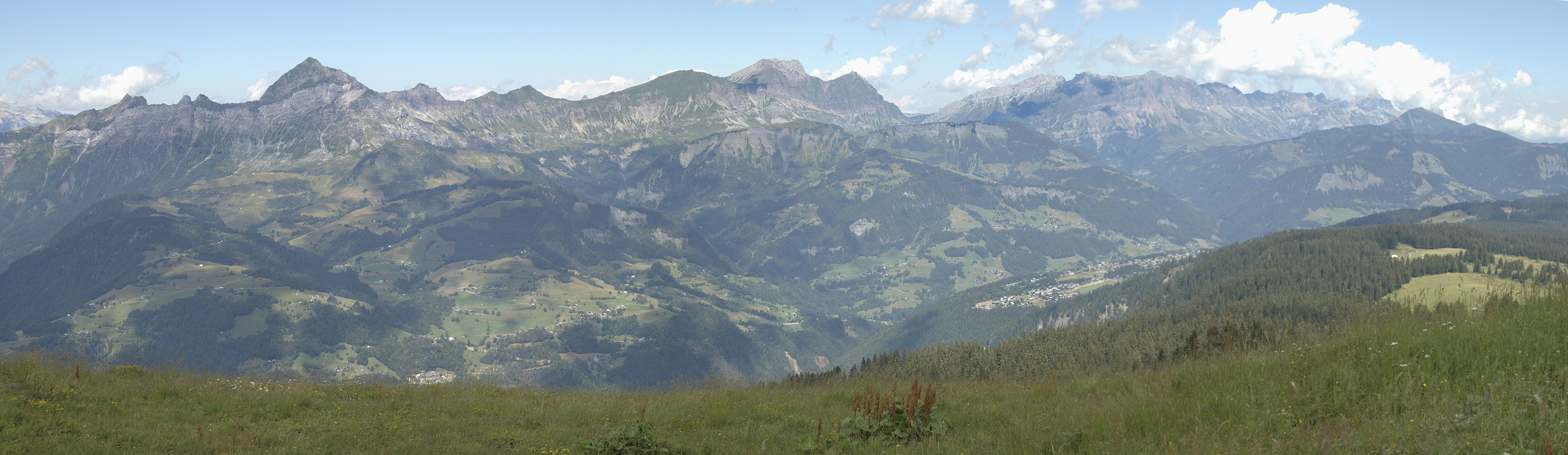
Montage des 3 photos de ²°¹°°: fr:Image:Panoramique Aravis Sud.jpg; fr:Image:Panoramique Aravis centre.jpg; fr:Image:Panoramique Aravis Sud.jpg |
| Date | 29 January 2006 (original upload date) |
| Source | Transferred from fr.wikipedia to Commons. |
| Author | Lozère at French Wikipedia |
Licensing
[edit]
| This work has been released into the public domain by its author, Lozère at French Wikipedia. This applies worldwide. In some countries this may not be legally possible; if so: Lozère grants anyone the right to use this work for any purpose, without any conditions, unless such conditions are required by law. |
Original upload log
[edit]
The original description page was here. All following user names refer to fr.wikipedia.
- 2006-02-12 09:16 Lozère 2400×698×8 (1406179 bytes) Le même, travaillé en meilleure définition
- 2006-01-29 19:46 Lozère 1767×490×8 (563654 bytes) Montage des 3 photos de [[Utilisateur:²⁰¹⁰⁰|²⁰¹⁰⁰]]: [[Media:Image:Panoramique Aravis Sud.jpg]]; [[Media:Image:Panoramique Aravis Centre.jpg]]; [[Media:Image:Panoramique Aravis Sud.jpg]]
| Annotations | This image is annotated: View the annotations at Commons |
File history
Click on a date/time to view the file as it appeared at that time.
| Date/Time | Thumbnail | Dimensions | User | Comment | |
|---|---|---|---|---|---|
| current | 20:57, 15 April 2007 | 2,400 × 698 (1.34 MB) | Frokor (talk | contribs) | {{Information |Description=Montage des 3 photos de ²°¹°°: fr::Image:Panoramique Aravis Sud.jpg; fr::Image:Panoramique Aravis centre.jpg; fr::Image:Panoramique Aravis Sud.jpg |Source=Originally from [ht |
You cannot overwrite this file.
File usage on Commons
The following page uses this file:
File usage on other wikis
The following other wikis use this file:
- Usage on arz.wikipedia.org
- Usage on en.wikipedia.org
- Usage on fr.wikipedia.org
- Usage on nl.wikipedia.org
- Usage on nn.wikipedia.org
- Usage on pt.wikipedia.org
- Usage on sq.wikibooks.org
- Usage on www.wikidata.org
- Usage on zh.wikipedia.org