File:Papal States 1789.svg
Salta a la navegació
Salta a la cerca

Mida d'aquesta previsualització PNG del fitxer SVG: 450 × 456 píxels. Altres resolucions: 237 × 240 píxels | 474 × 480 píxels | 758 × 768 píxels | 1.011 × 1.024 píxels | 2.021 × 2.048 píxels.
Fitxer original (fitxer SVG, nominalment 450 × 456 píxels, mida del fitxer: 799 Ko)
Llegendes
Llegendes
Afegeix una explicació d'una línia del que representa aquest fitxer
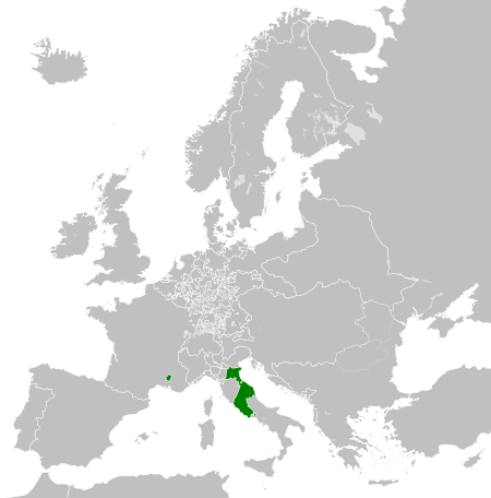
Papal States circa 1789
Resum[modifica]


.svg)
.svg)
.svg)
.svg)
.svg)


.svg)
.svg)
.svg)


.png)
.png)


.svg)


.svg)

.svg)


.svg)
.svg)
.svg)
.svg)


.svg)
.png)


.svg)


.svg)
.svg)


.svg)


.svg)


.svg)
.svg)
.svg)
.svg)
.svg)
.svg)
.svg)
_cropped.svg)
.svg)
.svg)
.svg)
.svg)
.svg)
.svg)
.svg)
.svg)
.svg)
.svg)
.svg)
.svg)
.svg)
.svg)
.svg)
.svg)
.svg)
.svg)
.svg)
.svg)
.svg)
.svg)
.svg)
.svg)
.svg)
.svg)
.svg)
.svg)
.svg)
.svg)
.svg)
.svg)
.svg)
.svg)
.svg)
.svg)
.svg)
.svg)
.svg)
.svg)
.svg)
.svg)
.svg)
.svg)
.svg)
Llicència[modifica]
Jo, el titular dels drets d'autor d'aquest treball, el public sota la següent llicència:
Aquest fitxer està subjecte a la llicència de Creative Commons Reconeixement i Compartir Igual 3.0 No adaptada.
- Sou lliure de:
- compartir – copiar, distribuir i comunicar públicament l'obra
- adaptar – fer-ne obres derivades
- Amb les condicions següents:
- reconeixement – Heu de donar la informació adequada sobre l'autor, proporcionar un enllaç a la llicència i indicar si s'han realitzat canvis. Podeu fer-ho amb qualsevol mitjà raonable, però de cap manera no suggereixi que l'autor us dóna suport o aprova l'ús que en feu.
- compartir igual – Si modifiqueu, transformeu, o generareu amb el material, haureu de distribuir les vostres contribucions sota una llicència similar o una de compatible com l'original
Registre original de càrregues[modifica]
This image is a derivative work of the following images:
- File:Europe_1789.svg licensed with Cc-by-sa-3.0
- 2013-04-14T03:44:26Z Alphathon 450x456 (858577 Bytes) Corrected some errors in northern Italy
- 2013-04-14T01:38:01Z Alphathon 450x456 (853881 Bytes) tweaked again
- 2013-04-14T01:36:10Z Alphathon 450x456 (853881 Bytes) Tweaked Holy Roman Empire border style
- 2013-04-14T01:33:26Z Alphathon 450x456 (853857 Bytes) == {{int:filedesc}} == {{Information |Description={{en|A blank Map of Europe circa 1789. This map also includes a border for the [[:en:Holy Roman Empire|Holy Roman Empire]]. Since there are so many small German states, they h
Uploaded with derivativeFX
Historial del fitxer
Cliqueu una data/hora per veure el fitxer tal com era aleshores.
| Data/hora | Miniatura | Dimensions | Usuari/a | Comentari | |
|---|---|---|---|---|---|
| actual | 07:58, 17 oct 2021 | | 450 × 456 (799 Ko) | Fenn-O-maniC (discussió | contribucions) | Fixed the Russo-Swedish border to match the Treaty of Åbo of 1743 |
| 16:29, 18 abr 2013 |  | 450 × 456 (820 Ko) | Alphathon (discussió | contribucions) | Various fixes (see blank version) | |
| 04:00, 14 abr 2013 |  | 450 × 456 (802 Ko) | Alphathon (discussió | contribucions) | == {{int:filedesc}} == {{Information |Description={{en|A map the Papal States circa 1789.}}{{de|Eine Landkarte die Kirchenstaat c. 1989.}} |Source={{Derived from|Europe_1789.svg|display=50}} |Date=2013-04-14 03... |
No podeu sobreescriure aquest fitxer.
Ús del fitxer
Les 9 pàgines següents utilitzen aquest fitxer:
- Category:1852 in the Papal States
- Category:History of the Papal States
- Category:Money of the Papal States
- Category:Papal States
- Category:Papal States by century
- Category:Papal States in the 10th century
- Category:Papal States in the 11th century
- Category:Papal States in the 8th century
- Category:Papal States in the 9th century
Ús global del fitxer
Utilització d'aquest fitxer en altres wikis:
- Utilització a arz.wikipedia.org
- Utilització a ast.wikipedia.org
- Utilització a cdo.wikipedia.org
- Utilització a cs.wikipedia.org
- Utilització a en.wikipedia.org
- Utilització a fr.wikipedia.org
- Utilització a ga.wikipedia.org
- Utilització a gl.wikipedia.org
- Utilització a he.wikipedia.org
- Utilització a hr.wikipedia.org
- Utilització a ja.wikipedia.org
- Utilització a ka.wikipedia.org
- Utilització a ko.wikipedia.org
- Utilització a mk.wikipedia.org
- Utilització a oc.wikipedia.org
- Utilització a sq.wikipedia.org
- Utilització a tg.wikipedia.org
- Utilització a ur.wikipedia.org
- Utilització a www.wikidata.org
- Utilització a xmf.wikipedia.org
- Utilització a zh-min-nan.wikipedia.org
- Utilització a zh.wikipedia.org