File:Paris department location map 2.svg
Jump to navigation
Jump to search

Size of this PNG preview of this SVG file: 800 × 521 pixels. Other resolutions: 320 × 208 pixels | 640 × 417 pixels | 1,024 × 667 pixels | 1,280 × 834 pixels | 2,560 × 1,667 pixels | 1,371 × 893 pixels.
Original file (SVG file, nominally 1,371 × 893 pixels, file size: 6.61 MB)
Captions
Captions
Add a one-line explanation of what this file represents
Summary[edit]
| Description |
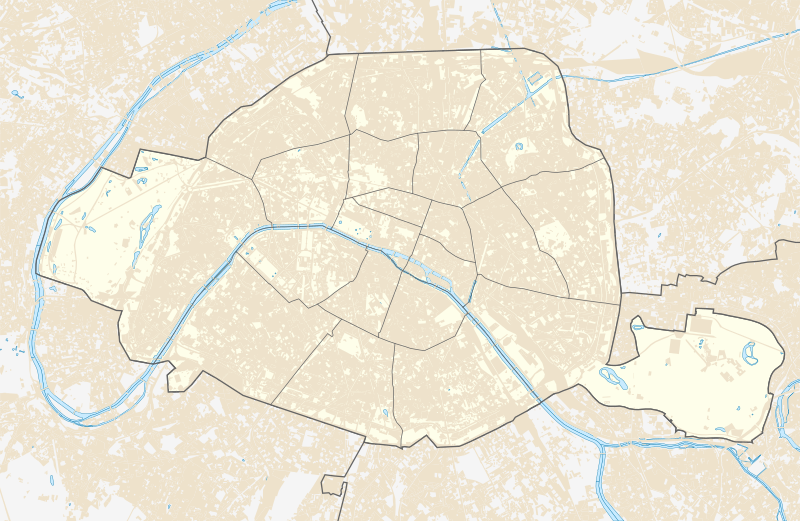
English: Blank administrative map of the city and department of Paris, France, as in January 2011, for geo-location purpose, with distinct boundaries for departments and arrondissements. |
| Date | |
| Source | Image:Paris department land cover location map.svg |
| Author | Eric Gaba+Xfigpower |
Licensing[edit]
This file is licensed under the Creative Commons Attribution-Share Alike 4.0 International license.
- You are free:
- to share – to copy, distribute and transmit the work
- to remix – to adapt the work
- Under the following conditions:
- attribution – You must give appropriate credit, provide a link to the license, and indicate if changes were made. You may do so in any reasonable manner, but not in any way that suggests the licensor endorses you or your use.
- share alike – If you remix, transform, or build upon the material, you must distribute your contributions under the same or compatible license as the original.
File history
Click on a date/time to view the file as it appeared at that time.
| Date/Time | Thumbnail | Dimensions | User | Comment | |
|---|---|---|---|---|---|
| current | 15:55, 16 December 2022 | | 1,371 × 893 (6.61 MB) | GeorgeIIIandPitt1801 (talk | contribs) | Reverted to version as of 11:56, 19 March 2021 (UTC) |
| 13:24, 19 March 2021 |  | 1,371 × 893 (6.64 MB) | Xfigpower (talk | contribs) | better river | |
| 11:56, 19 March 2021 |  | 1,371 × 893 (6.61 MB) | Xfigpower (talk | contribs) | Uploaded a work by Eric Gaba from Image:Paris department land cover location map.svg with UploadWizard |
You cannot overwrite this file.
File usage on Commons
There are no pages that use this file.
File usage on other wikis
The following other wikis use this file:
- Usage on en.wikipedia.org
- Usage on es.wikipedia.org
- Usage on fr.wikipedia.org
- Grand Châtelet
- Jeux olympiques de 1900
- Place Charles-de-Gaulle
- Place de la Bastille
- Police nationale (France)
- Montmartre
- Banque de France
- Avenue des Champs-Élysées
- Église Saint-Jean-le-Rond de Paris
- Mairie de Paris
- Quartier de Charonne
- Quartier du Montparnasse
- École supérieure d'architecture des jardins et des paysages
- Place de la Concorde
- Jardin des plantes de Paris
- La Défense
- 1er arrondissement de Paris
- 6e arrondissement de Paris
- 4e arrondissement de Paris
- Boulevard Saint-Michel (Paris)
- Rue Montgallet
- 8e arrondissement de Paris
- 7e arrondissement de Paris
- 2e arrondissement de Paris
- Rue Saint-Denis (Paris)
- 3e arrondissement de Paris
- Hôtel de Massa
- 12e arrondissement de Paris
- 9e arrondissement de Paris
- 10e arrondissement de Paris
- Place de l'Europe - Simone Veil (Paris)
- Place Vendôme
- Pigalle (quartier parisien)
- Cité internationale universitaire de Paris
- Parc zoologique de Paris
- 13e arrondissement de Paris
- Avenue Daumesnil (Paris)
- Jardin naturel Pierre-Emmanuel (Paris)
- 20e arrondissement de Paris
- 18e arrondissement de Paris
- 17e arrondissement de Paris
- 16e arrondissement de Paris
- 15e arrondissement de Paris
- 14e arrondissement de Paris
- Place Saint-Michel (Paris)
- Modèle:Infobox Arrondissement municipal français
- Place de la République (Paris)
- Rue de Rivoli
View more global usage of this file.