File:Parking Drumettaz Musilac (2016).jpg
Jump to navigation
Jump to search

Size of this preview: 800 × 450 pixels. Other resolutions: 320 × 180 pixels | 640 × 360 pixels | 1,024 × 576 pixels | 1,280 × 720 pixels | 3,104 × 1,746 pixels.
Original file (3,104 × 1,746 pixels, file size: 1.26 MB, MIME type: image/jpeg)
Captions
Captions
Add a one-line explanation of what this file represents
Summary
[edit].jpg&action=edit§ion=1)
| Description |
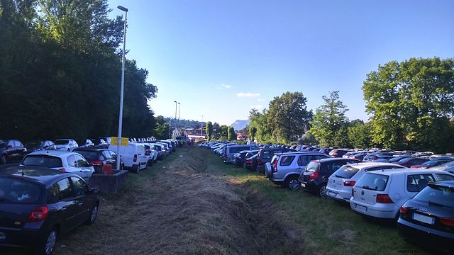
Français : Stationnement des véhicules à l'entrée sud de l'agglomération pour le festival Musilac 2016. |
| Date | |
| Source | Own work |
| Author | Mathis73 B. |
| Camera location | | View this and other nearby images on: OpenStreetMap |
|---|
.jpg¶ms=045.658043_N_0005.914030_E_globe:Earth_type:camera__&language=en)
Licensing
[edit].jpg&action=edit§ion=2)
|
This file is licensed under the Creative Commons Attribution-Share Alike 4.0 International license. Attribution: Mathis Brancquart
|
File history
Click on a date/time to view the file as it appeared at that time.
| Date/Time | Thumbnail | Dimensions | User | Comment | |
|---|---|---|---|---|---|
| current | 10:32, 11 July 2016 | | 3,104 × 1,746 (1.26 MB) | Sigamix (talk | contribs) | User created page with UploadWizard |
You cannot overwrite this file.
File usage on Commons
There are no pages that use this file.
File usage on other wikis
The following other wikis use this file:
- Usage on fr.wikipedia.org
.jpg&oldid=462834125)