File:Partial aerial view of the towns of Egg Harbor, Baileys Harbor, and Jacksonport, Door County, Wisconsin 2020.png
Jump to navigation
Jump to search

Size of this preview: 439 × 599 pixels. Other resolutions: 176 × 240 pixels | 352 × 480 pixels | 563 × 768 pixels | 751 × 1,024 pixels | 1,501 × 2,048 pixels | 9,302 × 12,687 pixels.
Original file (9,302 × 12,687 pixels, file size: 221.6 MB, MIME type: image/png)
Captions
Captions
Add a one-line explanation of what this file represents
| Warning | The original file is very high-resolution. It might not load properly or could cause your browser to freeze when opened at full size. |
|---|
| Description |
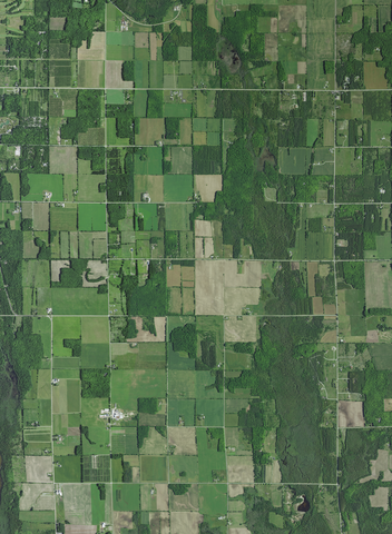
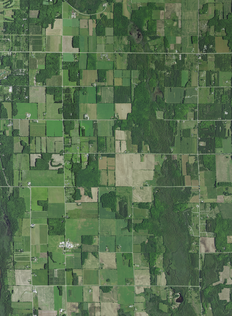
English: Partial aerial view of the towns of Egg Harbor, Jacksport and Baileys Harbor in Door County, Wisconsin, taken June 27, 2020.
Coordinates:
|
|||
| Date | ||||
| Source | converted to .png by Epiphyllumlover from the original .tif available as item M_4508763_SW_16_060_20200627 on EarthExplorer | |||
| Author | Aerial Photography Field Office (APFO) for NAIP, USGS; in contract with the Surdex Corporation | |||
| Permission (Reusing this file) |
|
|||
| Other versions |
.png)
.png)
File history
Click on a date/time to view the file as it appeared at that time.
| Date/Time | Thumbnail | Dimensions | User | Comment | |
|---|---|---|---|---|---|
| current | 13:08, 1 January 2022 | | 9,302 × 12,687 (221.6 MB) | Epiphyllumlover (talk | contribs) | c:User:Rillke/bigChunkedUpload.js: {{Information | Description = {{en|Partial aerial viewof the towns of Egg Harbor, Jacksport and Baileys Harbor in Door County, Wisconsin, taken June 27, 2020. Coordinates: *Center Latitude 45°01'53.41"N *Center Longitude 87°13'06.66"W *NW Corner Lat 45°03'56.49"N *NW Corner Long 87°15'14.74"W *NE Corner Lat 45°03'56.97"N *NE Corn... |
You cannot overwrite this file.
File usage on Commons
The following 2 pages use this file: