File:Path down to the sea.jpg
Jump to navigation
Jump to search
Size of this preview: 400 × 600 pixels. Other resolutions: 160 × 240 pixels | 320 × 480 pixels | 512 × 768 pixels | 682 × 1,024 pixels | 1,365 × 2,048 pixels | 4,000 × 6,000 pixels.
Original file (4,000 × 6,000 pixels, file size: 2.82 MB, MIME type: image/jpeg)
Captions
Captions
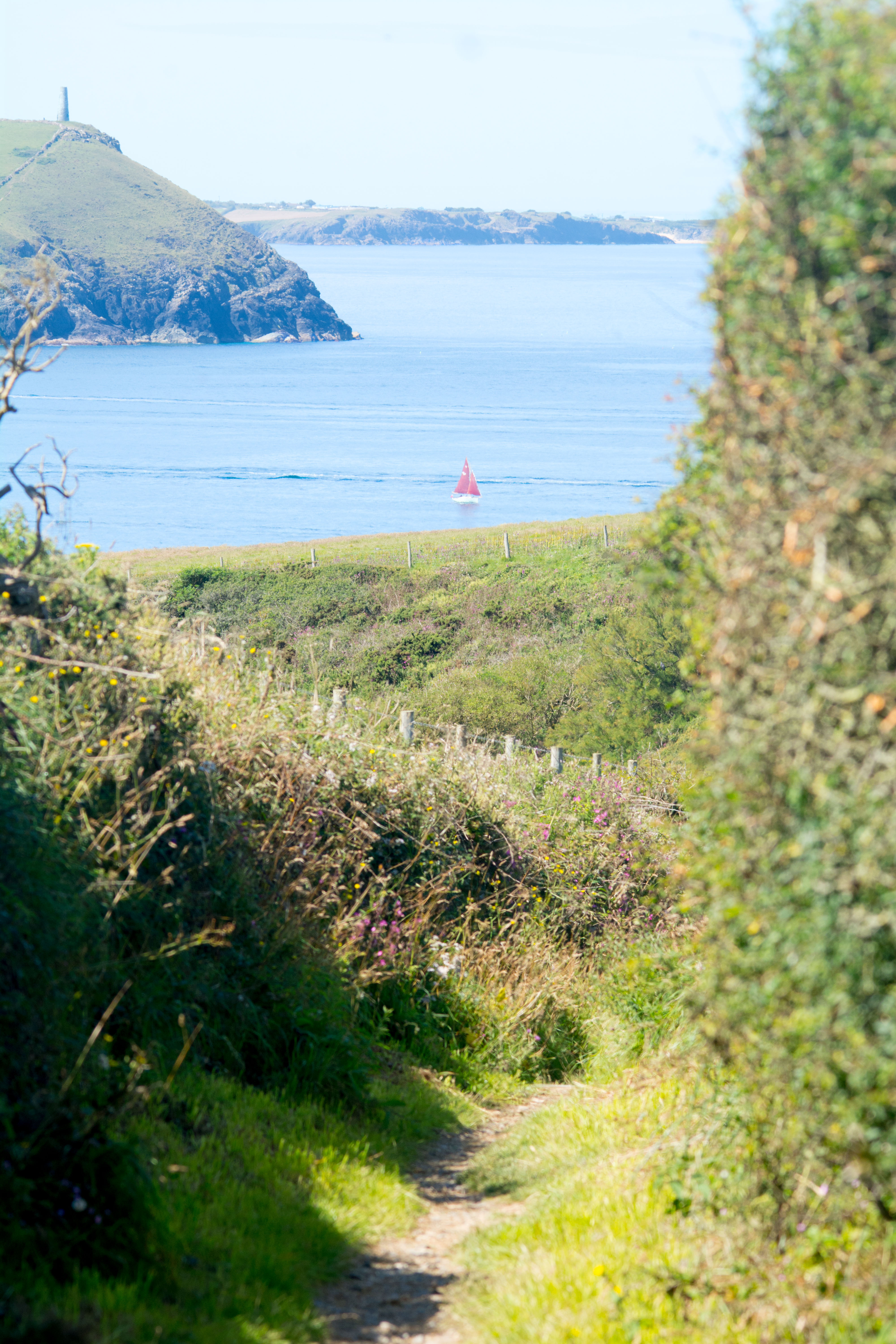
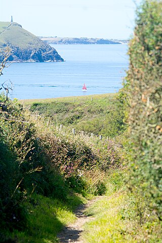
The path from Pentire Farm to Pentire Haven with Stepper Point on the left.
Summary
[edit]
| Description |
English: The path down from Pentire Farm towards the mouth of the River Camel, with Stepper Point and The Daymark on the left, and Trevose Head beyond. |
| Date | |
| Source | Own work |
| Author | Romfordian |
Licensing
[edit]
I, the copyright holder of this work, hereby publish it under the following license:
This file is licensed under the Creative Commons Attribution-Share Alike 4.0 International license.
- You are free:
- to share – to copy, distribute and transmit the work
- to remix – to adapt the work
- Under the following conditions:
- attribution – You must give appropriate credit, provide a link to the license, and indicate if changes were made. You may do so in any reasonable manner, but not in any way that suggests the licensor endorses you or your use.
- share alike – If you remix, transform, or build upon the material, you must distribute your contributions under the same or compatible license as the original.
File history
Click on a date/time to view the file as it appeared at that time.
| Date/Time | Thumbnail | Dimensions | User | Comment | |
|---|---|---|---|---|---|
| current | 19:30, 25 October 2020 | | 4,000 × 6,000 (2.82 MB) | Romfordian (talk | contribs) | Uploaded own work with UploadWizard |
You cannot overwrite this file.
File usage on Commons
There are no pages that use this file.