File:Pella municipalities.svg
Jump to navigation
Jump to search

Size of this PNG preview of this SVG file: 649 × 488 pixels. Other resolutions: 319 × 240 pixels | 639 × 480 pixels | 1,022 × 768 pixels | 1,280 × 962 pixels | 2,560 × 1,925 pixels.
Original file (SVG file, nominally 649 × 488 pixels, file size: 63 KB)
Captions
Captions
Add a one-line explanation of what this file represents
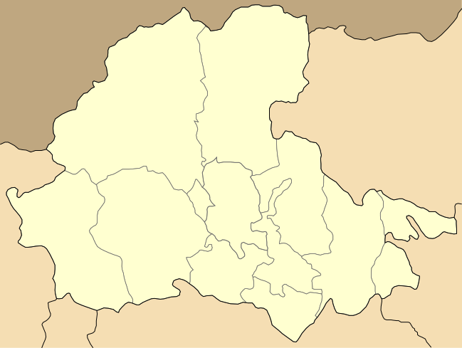
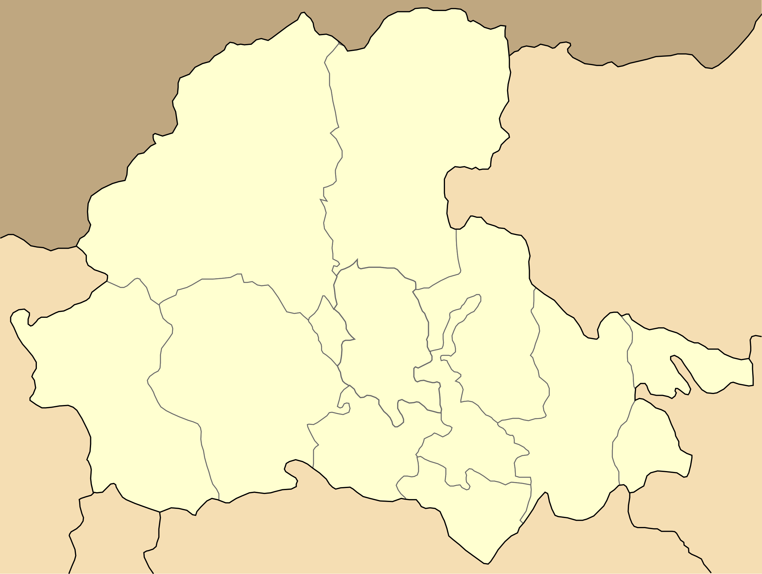
| Description | Map of Pella prefecture (Νομός Πέλλας), Central Macedonia, Greece. Locator maps can be found at Category:Municipalities of Pella prefecture. |
| Date | |
| Source | Own work |
| Author | Badseed |
| Permission (Reusing this file) |
Own work, all rights released (Public domain) |
| Other versions | Pella municipalities numbered.svg |
| I, the copyright holder of this work, release this work into the public domain. This applies worldwide. In some countries this may not be legally possible; if so: I grant anyone the right to use this work for any purpose, without any conditions, unless such conditions are required by law. |
File history
Click on a date/time to view the file as it appeared at that time.
| Date/Time | Thumbnail | Dimensions | User | Comment | |
|---|---|---|---|---|---|
| current | 13:26, 25 May 2008 | | 649 × 488 (63 KB) | Geraki (talk | contribs) | {{Information |Description= Map of Pella prefecture (Νομός Πέλλας), Central Macedonia, Greece. Locator maps can be found at Category:Municipalities of Pella prefecture. |Source=Own work |Date=05 September 2007 |Author=[[User:Badseed|Badse |
You cannot overwrite this file.
File usage on Commons
There are no pages that use this file.
File usage on other wikis
The following other wikis use this file:
- Usage on el.wikipedia.org