File:Península de Yucatán.svg
Jump to navigation
Jump to search

Size of this PNG preview of this SVG file: 735 × 600 pixels. Other resolutions: 294 × 240 pixels | 588 × 480 pixels | 941 × 768 pixels | 1,255 × 1,024 pixels | 2,510 × 2,048 pixels | 923 × 753 pixels.
Original file (SVG file, nominally 923 × 753 pixels, file size: 183 KB)
Captions
Captions
Add a one-line explanation of what this file represents
| Camera location | | View this and other nearby images on: OpenStreetMap |
|---|
Summary
[edit]| Description |
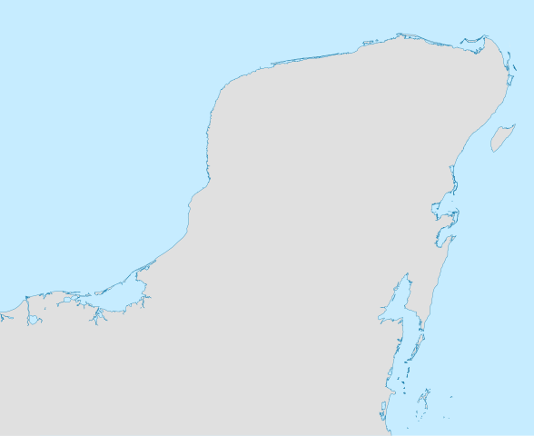
English: Location map of the Yucatan peninsule
Geographic limits of the map : Español: Mapa de localización de la península de Yucatán
Limites geograficos del mapa :* Oeste : 93.00° O * Este : 86.50° O * Norte : 22.00° N * Sur : 17.00° N |
||||||||
| Date | |||||||||
| Source | Own work | ||||||||
| Author | Addicted04 | ||||||||
| Permission (Reusing this file) |
|

Licensing
[edit]
| I, the copyright holder of this work, release this work into the public domain. This applies worldwide. In some countries this may not be legally possible; if so: I grant anyone the right to use this work for any purpose, without any conditions, unless such conditions are required by law. |
File history
Click on a date/time to view the file as it appeared at that time.
| Date/Time | Thumbnail | Dimensions | User | Comment | |
|---|---|---|---|---|---|
| current | 00:47, 23 June 2009 | | 923 × 753 (183 KB) | Addicted04 (talk | contribs) | {{Information |Description={{en|1=Location map of the Yucatan peninsule}} {{es|1=Mapa de localización de la península de Yucatán}} |Source=trabajo propio (own work) |Author=Addicted04 |Date=2009-june-22 |Permission={{GFDL}} |other_v |
You cannot overwrite this file.
File usage on Commons
There are no pages that use this file.
File usage on other wikis
The following other wikis use this file:
- Usage on es.wikipedia.org
- Usage on fr.wikipedia.org