File:Perley Island.png
Jump to navigation
Jump to search
Size of this preview: 518 × 599 pixels. Other resolutions: 208 × 240 pixels | 634 × 733 pixels.
Original file (634 × 733 pixels, file size: 803 KB, MIME type: image/png)
Captions
Captions
Add a one-line explanation of what this file represents
Summary
[edit]
| Description |
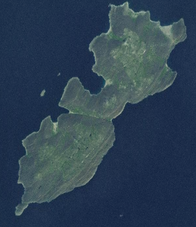
Français : Image satellite de l'île de Perley.
English: Satellite image of Perley Island. |
| Date | Unknown date |
| Source | http://explorer.worldwind.earth/?layers=Blue%20Marble%20%26%20Landsat&lat=59.6751791&lon=-80.2467683&alt=30673.05&heading=0&tilt=0&roll=0 |
| Author | NASA |
| Camera location | | View this and other nearby images on: OpenStreetMap |
|---|
Licensing
[edit]
| This image is in the public domain because it is a screenshot from NASA’s globe software World Wind using a public domain layer, such as Blue Marble, MODIS, Landsat, SRTM, USGS or GLOBE.
|
 |
File history
Click on a date/time to view the file as it appeared at that time.
| Date/Time | Thumbnail | Dimensions | User | Comment | |
|---|---|---|---|---|---|
| current | 00:30, 10 April 2018 | | 634 × 733 (803 KB) | Bastenbas (talk | contribs) | User created page with UploadWizard |
You cannot overwrite this file.
File usage on Commons
The following page uses this file:
File usage on other wikis
The following other wikis use this file:
- Usage on ceb.wikipedia.org
- Usage on en.wikipedia.org
- Usage on fr.wikipedia.org
- Usage on ur.wikipedia.org
- Usage on www.wikidata.org