File:Piątek (gmina) location map.png

Original file (1,881 × 2,085 pixels, file size: 582 KB, MIME type: image/png)
Captions
Captions
Summary
[edit]_location_map.png&action=edit§ion=1)
| Description |
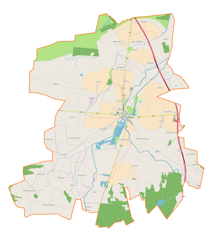
English: Location map |
| Date | |
| Source | Own work |
| Author | Smat |
| Description |
Polski: Mapa gminy Piątek, Polska
English: Map of Piątek (gmina), Poland |
|||||||||
| Date | ||||||||||
| Source | You may find a page on the OpenStreetMap wiki page for Piątek (gmina) | |||||||||
| Creator |
OpenStreetMap contributors OpenStreetMap contributors |
|||||||||
| Permission (Reusing this file) |
OpenStreetMap data is available under the Open Database License (details). Map tiles are licensed under the Creative Commons Attribution-ShareAlike 2.0 license (CC-BY-SA 2.0).
This file is licensed under the Creative Commons Attribution-Share Alike 2.0 Generic license.
|
|||||||||
| Geotemporal data | ||||||||||
| Bounding box |
|
|||||||||
| Georeferencing | If inappropriate please set warp_status = skip to hide. | |||||||||
Licensing
[edit]_location_map.png&action=edit§ion=2)
| This work contains information from OpenStreetMap, which is made available under the Open Database License (ODbL).
The ODbL does not require any particular license for maps produced from ODbL data. Prior to 1 August 2020, map tiles produced by the OpenStreetMap Foundation were licensed under the CC-BY-SA-2.0 license. Maps produced by other people may be subject to other licences. |
File history
Click on a date/time to view the file as it appeared at that time.
| Date/Time | Thumbnail | Dimensions | User | Comment | |
|---|---|---|---|---|---|
| current | 14:34, 2 November 2017 | | 1,881 × 2,085 (582 KB) | Smat (talk | contribs) | User created page with UploadWizard |
You cannot overwrite this file.
File usage on Commons
There are no pages that use this file.
File usage on other wikis
The following other wikis use this file:
- Usage on pl.wikipedia.org
- Piątek (miasto)
- Balków
- Goślub
- Górki Łubnickie
- Górki Pęcławskie
- Mchowice
- Mysłówka
- Orądki
- Orenice
- Pęcławice
- Rogaszyn (powiat łęczycki)
- Sypin
- Sułkowice Drugie
- Sułkowice Pierwsze
- Śladków Podleśny
- Śladków Rozlazły
- Włostowice-Parcele
- Czerników (województwo łódzkie)
- Konarzew (powiat łęczycki)
- Krzyszkowice (województwo łódzkie)
- Łubnica (województwo łódzkie)
- Michałówka (województwo łódzkie)
- Młynów (województwo łódzkie)
- Pokrzywnica (województwo łódzkie)
- Włostowice (województwo łódzkie)
- Bielice (powiat łęczycki)
- Boguszyce (powiat łęczycki)
- Janowice (powiat łęczycki)
- Jasionna (powiat łęczycki)
- Piekary (powiat łęczycki)
- Stare Piaski (powiat łęczycki)
- Witów (powiat łęczycki)
- Żabokrzeki (gmina Piątek)
- Janków (gmina Piątek)
- Łęka (gmina Piątek)
- Borowiec (powiat łęczycki)
- Leżajna
- Broników (powiat łęczycki)
- Janówek (powiat łęczycki)
- Goślub-Osada
- Parafia Trójcy Przenajświętszej w Piątku
- Parafia Świętej Trójcy w Piątku
- Cmentarz żydowski w Piątku
- Dunaj (województwo łódzkie)
- Gadka (województwo łódzkie)
- Pęcławice-Parcele
- Niedziałki (województwo łódzkie)
- Błonie (gmina Piątek)
- Cmentarz mariawicki w Pokrzywnicy
- Kościół Świętej Trójcy w Piątku
View more global usage of this file.
_location_map.png)
_location_map.png&oldid=607600858)