File:Picabo Idaho 2009.JPG
Jump to navigation
Jump to search
Size of this preview: 800 × 600 pixels. Other resolutions: 320 × 240 pixels | 640 × 480 pixels | 1,024 × 768 pixels | 1,280 × 960 pixels | 2,560 × 1,920 pixels | 2,816 × 2,112 pixels.
Original file (2,816 × 2,112 pixels, file size: 2.17 MB, MIME type: image/jpeg)
Captions
Captions
Add a one-line explanation of what this file represents
Summary
[edit]
| Description |
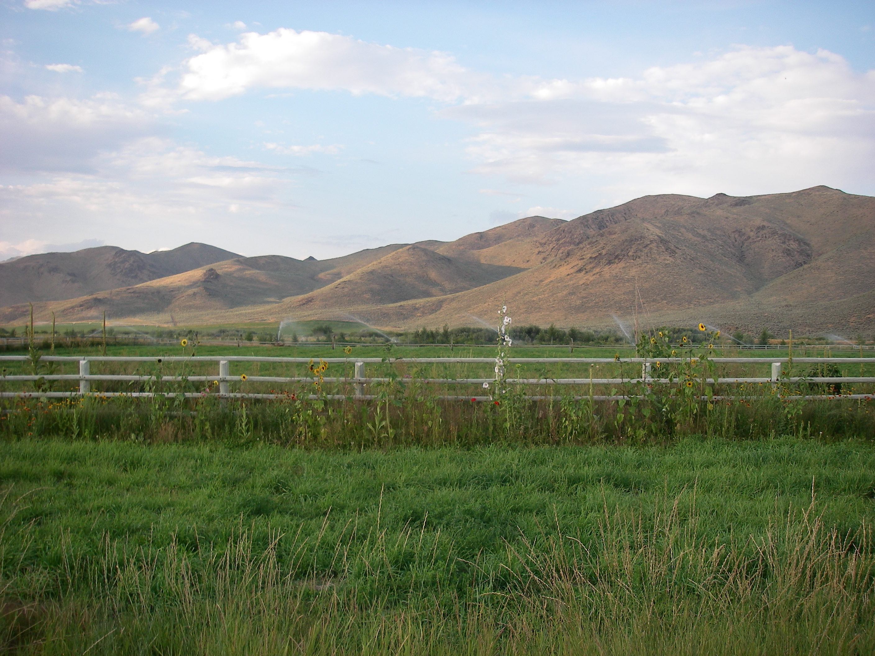
English: Hills, mountains, and irrigated fields of Picabo, Idaho. |
| Date | |
| Source | Own work |
| Author | Leaflet |
| Camera location | | View this and other nearby images on: OpenStreetMap |
|---|
Licensing
[edit]
| I, the copyright holder of this work, release this work into the public domain. This applies worldwide. In some countries this may not be legally possible; if so: I grant anyone the right to use this work for any purpose, without any conditions, unless such conditions are required by law. |
File history
Click on a date/time to view the file as it appeared at that time.
| Date/Time | Thumbnail | Dimensions | User | Comment | |
|---|---|---|---|---|---|
| current | 19:38, 29 August 2009 | | 2,816 × 2,112 (2.17 MB) | Leaflet (talk | contribs) | {{Information |Description={{en|1=Hills, mountains, and irrigated fields to the northeast of Picabo, Idaho.}} |Source=Own work by uploader |Author=Leaflet |Date=2009-08-11 |Permission= |other_versions= }} Category:Mountains of Idaho |
You cannot overwrite this file.
File usage on Commons
The following 3 pages use this file:
File usage on other wikis
The following other wikis use this file:
- Usage on azb.wikipedia.org
- Usage on cy.wikipedia.org
- Usage on de.wikipedia.org
- Usage on en.wikipedia.org
- Usage on fa.wikipedia.org
- Usage on mhr.wikipedia.org
- Usage on www.wikidata.org
- Usage on zh.wikipedia.org