File:Picnic site Le Strecce 01.jpg
Jump to navigation
Jump to search
Size of this preview: 800 × 412 pixels. Other resolutions: 320 × 165 pixels | 640 × 330 pixels | 1,024 × 528 pixels | 1,280 × 660 pixels | 2,560 × 1,320 pixels | 4,294 × 2,214 pixels.
Original file (4,294 × 2,214 pixels, file size: 6.85 MB, MIME type: image/jpeg)
Captions
Captions
Add a one-line explanation of what this file represents
Summary
[edit]| Description |
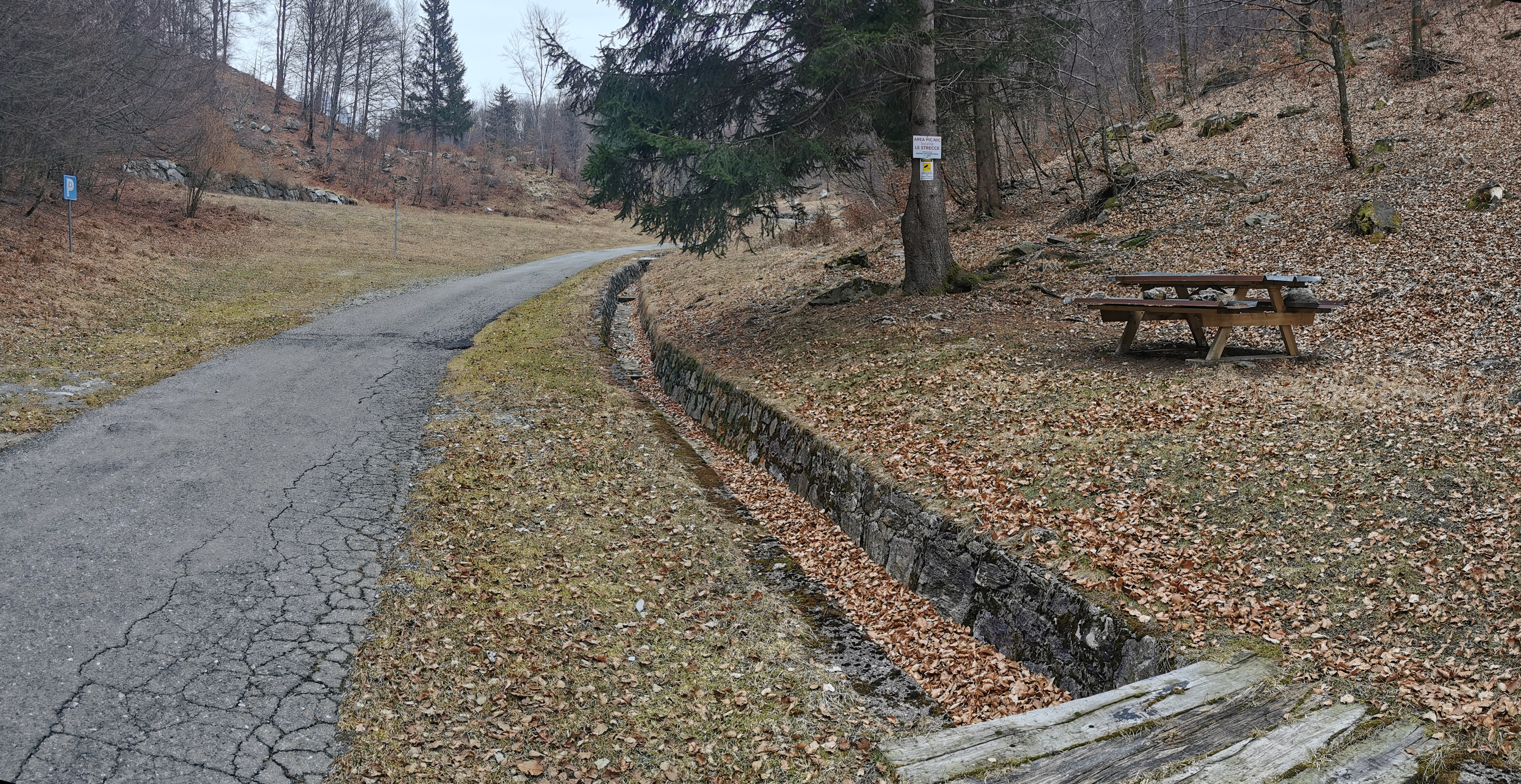
Italiano: Area picnic Le strecce, lungo la strada per Malè. |
| Date | |
| Source | Own work |
| Author | Kaitu |
| Object location | | View this and other nearby images on: OpenStreetMap |
|---|
| Camera location | | View this and other nearby images on: OpenStreetMap |
|---|
|
Picnic site Le Strecce 01.jpg has an entry on OpenStreetMap (show). |
Licensing
[edit]I, the copyright holder of this work, hereby publish it under the following license:
This file is licensed under the Creative Commons Attribution-Share Alike 4.0 International license.
- You are free:
- to share – to copy, distribute and transmit the work
- to remix – to adapt the work
- Under the following conditions:
- attribution – You must give appropriate credit, provide a link to the license, and indicate if changes were made. You may do so in any reasonable manner, but not in any way that suggests the licensor endorses you or your use.
- share alike – If you remix, transform, or build upon the material, you must distribute your contributions under the same or compatible license as the original.
| Annotations | This image is annotated: View the annotations at Commons |


File history
Click on a date/time to view the file as it appeared at that time.
| Date/Time | Thumbnail | Dimensions | User | Comment | |
|---|---|---|---|---|---|
| current | 17:04, 30 May 2023 | | 4,294 × 2,214 (6.85 MB) | Kaitu (talk | contribs) | Uploaded own work with UploadWizard |
You cannot overwrite this file.
File usage on Commons
The following page uses this file: