File:Piz Grevasalvas as seen from Lake Marmorera 3.jpg
Jump to navigation
Jump to search

Size of this preview: 800 × 450 pixels. Other resolutions: 320 × 180 pixels | 640 × 360 pixels | 1,024 × 576 pixels | 1,280 × 720 pixels | 2,560 × 1,440 pixels | 5,312 × 2,988 pixels.
Original file (5,312 × 2,988 pixels, file size: 8.61 MB, MIME type: image/jpeg)
Captions
Captions
Add a one-line explanation of what this file represents
Summary
[edit]
| Description |
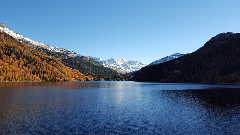
English: Piz Grevasalvas as seen from Lake Marmorera (Sils im Engadin/Segl, Bregaglia Marmorera, Bivio, Grison, Switzerland)
Deutsch: Piz Grevasalvas, aufgenommen vom Marmorerasee (Sils im Engadin/Segl, Marmorera Bregaglia, Bivio, Graubünden, Schweiz)
Rumantsch: Piz Grevasalvas, piglia se digl lai da Marmorera (Sils im Engadin/Segl, Marmorera, Bregaglia, Bivio, Grischun, Svizra)
Italiano: Piz Grevasalvas fotografato dal Lago di Marmorera (Sils im Engadin/Segl, Marmorera, Bregaglia, Bivio, Grigioni, Svizzera) |
|
| Date | ||
| Source | Own work | |
| Author | Capricorn4049 | |
| Permission (Reusing this file) |
|
| Object location | | View this and other nearby images on: OpenStreetMap |
|---|
| Camera location | | View this and other nearby images on: OpenStreetMap |
|---|
Licensing
[edit]
This file is licensed under the Creative Commons Attribution-Share Alike 4.0 International license.
- You are free:
- to share – to copy, distribute and transmit the work
- to remix – to adapt the work
- Under the following conditions:
- attribution – You must give appropriate credit, provide a link to the license, and indicate if changes were made. You may do so in any reasonable manner, but not in any way that suggests the licensor endorses you or your use.
- share alike – If you remix, transform, or build upon the material, you must distribute your contributions under the same or compatible license as the original.
File history
Click on a date/time to view the file as it appeared at that time.
| Date/Time | Thumbnail | Dimensions | User | Comment | |
|---|---|---|---|---|---|
| current | 23:12, 27 November 2015 | | 5,312 × 2,988 (8.61 MB) | Capricorn4049 (talk | contribs) |
You cannot overwrite this file.
File usage on Commons
The following page uses this file: