File:Plan reseau argentan.svg
Jump to navigation
Jump to search

Size of this PNG preview of this SVG file: 293 × 599 pixels. Other resolutions: 117 × 240 pixels | 234 × 480 pixels | 375 × 768 pixels | 500 × 1,024 pixels | 1,001 × 2,048 pixels | 435 × 890 pixels.
Original file (SVG file, nominally 435 × 890 pixels, file size: 95 KB)
Captions
Captions
Add a one-line explanation of what this file represents
Summary
[edit]
| Description |
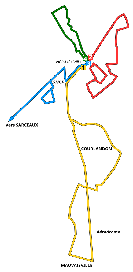
English: Map of the bus network in Argentan, France
Français : Plan du réseau bus d'Argentan, Orne, France |
| Date | |
| Source | Own work |
| Author | Daiima |
Licensing
[edit]
| I, the copyright holder of this work, release this work into the public domain. This applies worldwide. In some countries this may not be legally possible; if so: I grant anyone the right to use this work for any purpose, without any conditions, unless such conditions are required by law. |
File history
Click on a date/time to view the file as it appeared at that time.
| Date/Time | Thumbnail | Dimensions | User | Comment | |
|---|---|---|---|---|---|
| current | 15:40, 23 May 2009 | | 435 × 890 (95 KB) | Daiima (talk | contribs) | "Argentan Centre" remplacé par "Hôtel de Ville" |
| 11:23, 23 May 2009 |  | 435 × 890 (95 KB) | Daiima (talk | contribs) | {{Information |Description={{en|1=Map of the bus network in Argentan, France}} {{fr|1=Plan du réseau bus d'Argentan, Orne, France}} |Source=travail personnel (own work) |Author=Daiima |Date=05/23/2009 |Permission= |other_versions= }} <!- |
You cannot overwrite this file.
File usage on Commons
There are no pages that use this file.
File usage on other wikis
The following other wikis use this file:
- Usage on fr.wikipedia.org