File:Plan stas saint etienne.jpg
Jump to navigation
Jump to search

Size of this preview: 800 × 486 pixels. Other resolutions: 320 × 194 pixels | 640 × 389 pixels | 1,024 × 622 pixels | 1,280 × 778 pixels | 2,560 × 1,555 pixels | 11,811 × 7,175 pixels.
Original file (11,811 × 7,175 pixels, file size: 10.04 MB, MIME type: image/jpeg)
Captions
Captions
Add a one-line explanation of what this file represents
Summary
[edit]| Description |
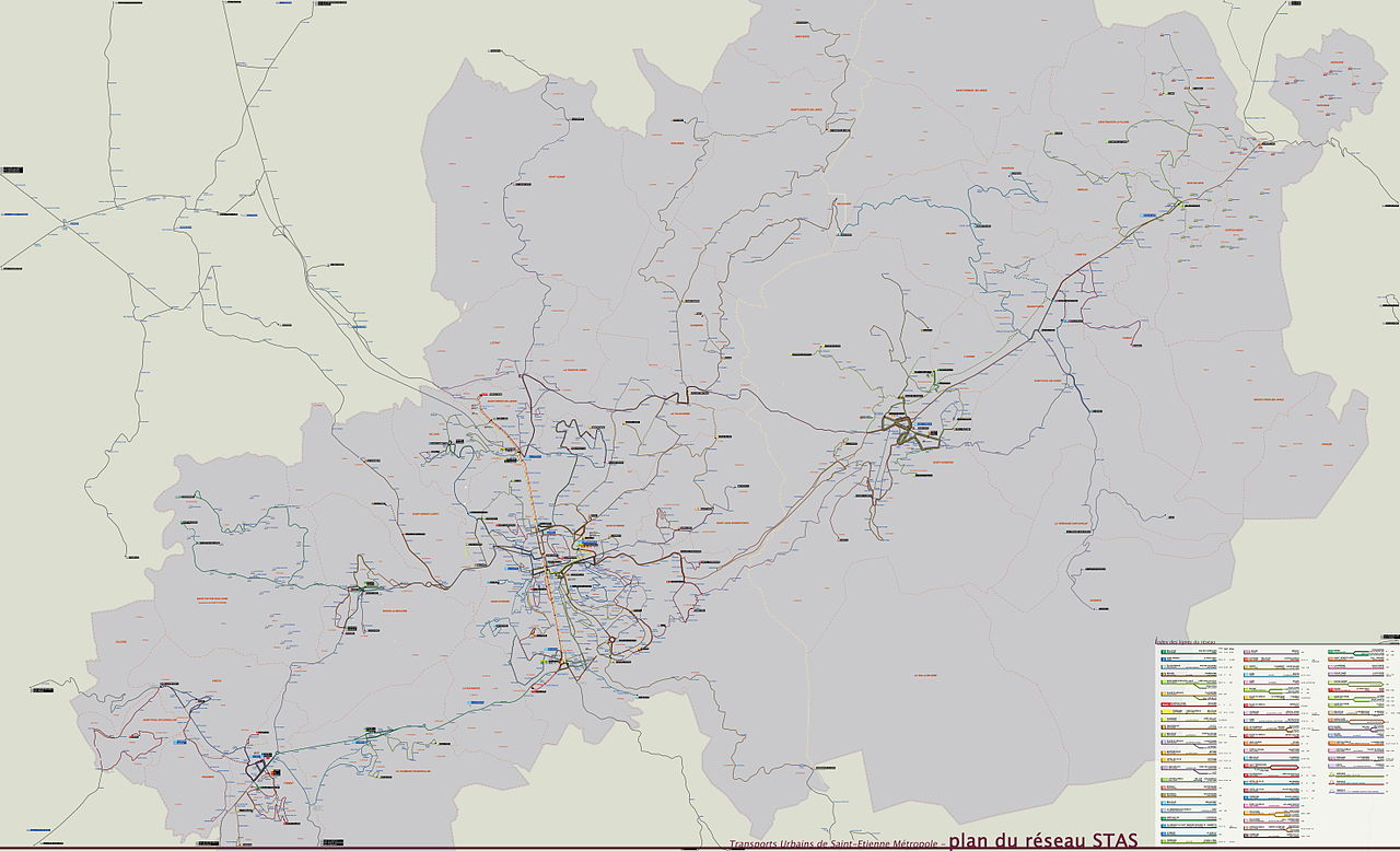
English: A map of the Bus and Tram network in Saint Etienne Métropole en 2009 Français : Plan du réseau de bus et de tram de St Etienne Métropole in 2009 |
| Date | (UTC) |
| Source | |
| Author |
|
| This is a retouched picture, which means that it has been digitally altered from its original version. Modifications: version in jpg-format with higher resolution. The original can be viewed here: Plan stas saint etienne.png:
|

|
This transport map image could be re-created using vector graphics as an SVG file. This has several advantages; see Commons:Media for cleanup for more information. If an SVG form of this image is available, please upload it and afterwards replace this template with
{{vector version available|new image name}}.
It is recommended to name the SVG file “Plan stas saint etienne.svg”—then the template Vector version available (or Vva) does not need the new image name parameter. |


| Warning | The original file is very high-resolution. It might not load properly or could cause your browser to freeze when opened at full size. |
|---|
Licensing
[edit]
I, the copyright holder of this work, hereby publish it under the following licenses:
This file is licensed under the Creative Commons Attribution-Share Alike 3.0 Unported, 2.5 Generic, 2.0 Generic and 1.0 Generic license.
- You are free:
- to share – to copy, distribute and transmit the work
- to remix – to adapt the work
- Under the following conditions:
- attribution – You must give appropriate credit, provide a link to the license, and indicate if changes were made. You may do so in any reasonable manner, but not in any way that suggests the licensor endorses you or your use.
- share alike – If you remix, transform, or build upon the material, you must distribute your contributions under the same or compatible license as the original.

|
Permission is granted to copy, distribute and/or modify this document under the terms of the GNU Free Documentation License, Version 1.2 or any later version published by the Free Software Foundation; with no Invariant Sections, no Front-Cover Texts, and no Back-Cover Texts. A copy of the license is included in the section entitled GNU Free Documentation License. |
You may select the license of your choice.
Original upload log
[edit]
This image is a derivative work of the following images:
- File:Plan_stas_saint_etienne.png licensed with Cc-by-sa-3.0,2.5,2.0,1.0, GFDL
- 2009-03-29T14:57:45Z Niko42000 3937x2391 (2320089 Bytes) Modification de la résolution et des dimension afin de pouvoir afficher la miniature
- 2009-03-29T14:48:07Z Niko42000 11811x7175 (11361599 Bytes) Fichier de taille plus petite afin de pouvoir visualiser la miniature
- 2009-03-29T14:19:15Z Niko42000 15321x9307 (11915466 Bytes) {{Information |Description={{en|1=A map of the Bus and Tram network in Saint Etienne Métropole}} {{fr|1=Plan du réseau de bus et de tram de St Etienne Métropole}} |Source=travail personnel (own work) |Author=[[User:Niko420
Uploaded with derivativeFX
File history
Click on a date/time to view the file as it appeared at that time.
| Date/Time | Thumbnail | Dimensions | User | Comment | |
|---|---|---|---|---|---|
| current | 12:23, 6 November 2011 | | 11,811 × 7,175 (10.04 MB) | Bürgerentscheid (talk | contribs) | == {{int:filedesc}} == {{Information |Description={{en|1=A map of the Bus and Tram network in Saint Etienne Métropole en 2009}} {{fr|1=Plan du réseau de bus et de tram de St Etienne Métropole in 2009}} |Source=*File:Plan_stas_saint_etienne.png |D |
You cannot overwrite this file.
File usage on Commons
There are no pages that use this file.
File usage on other wikis
The following other wikis use this file:
- Usage on de.wikipedia.org