File:Podzialka transwersalna na mapie z 1849r.png
Original file (1,249 × 845 pixels, file size: 321 KB, MIME type: image/png)
Captions
Captions
Summary
[edit]
| Description |
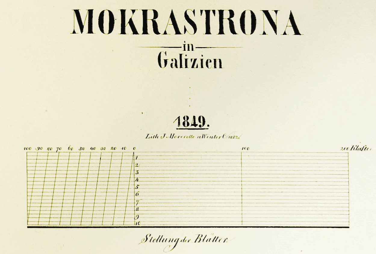
English: Transversal scale on map from 1852.
Polski: Podziałka transwersalna na mapie z 1852 roku. |
| Date | |
| Source | Zdjęcie mapy z 1852 roku |
| Author | Zdjęcie: Maciej Kotliński, autor mapy: nie znany |
Licensing
[edit]
|
This work is in the public domain in its country of origin and other countries and areas where the copyright term is the author's life plus 70 years or fewer.
| |
| This file has been identified as being free of known restrictions under copyright law, including all related and neighboring rights. | |
File history
Click on a date/time to view the file as it appeared at that time.
| Date/Time | Thumbnail | Dimensions | User | Comment | |
|---|---|---|---|---|---|
| current | 11:14, 21 June 2009 | | 1,249 × 845 (321 KB) | Mkotl (talk | contribs) | {{Information |Description={{en|1=Transversal scale on map from 1849.}} {{pl|1=Podziałka transwersalna na mapie z 1849 roku.}} |Source=Zdjęcie mapy z 1849 roku |Author=Zdjęcie: Maciej Kotliński, autor mapy: nie znany |Date=1849 |Permission= |other_ver |
You cannot overwrite this file.
File usage on Commons
There are no pages that use this file.
File usage on other wikis
The following other wikis use this file:
- Usage on pl.wikipedia.org